Best Kayaking Tours in Iceland
Select starting location
Select dates
Add travelers
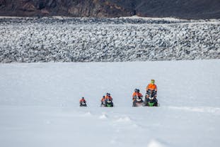
Kayaking Tours
Refine the results by using the filters


Explore an unequalled wealth of tours and packages
Verified customer reviews
Read first-hand reviews by customers from across the world


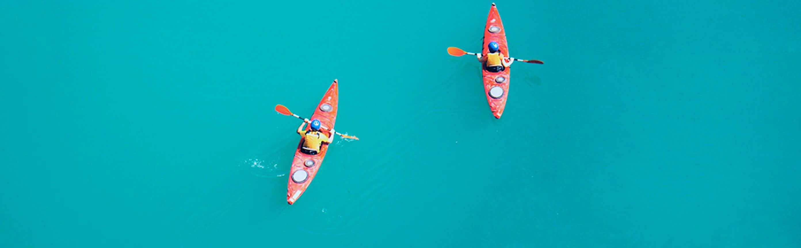
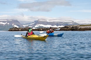
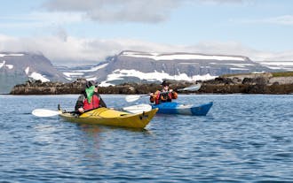
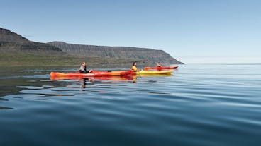
Kayaking Tours in Iceland
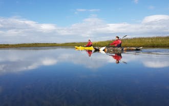
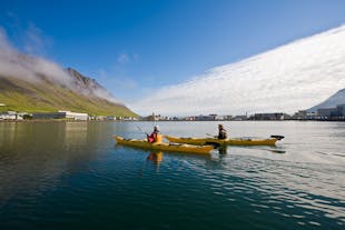
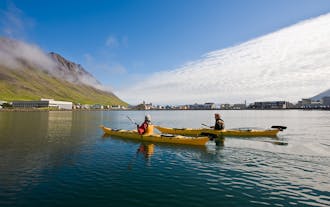
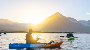
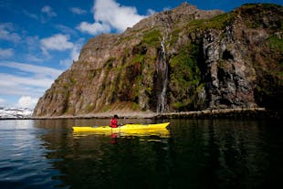
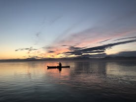
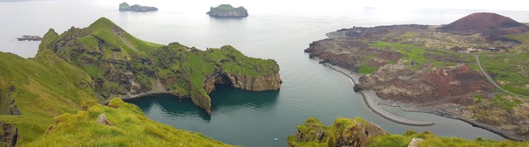
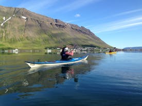
Welcome to the captivating world of kayaking in Iceland, a destination where serene waterways meet breathtaking natural vistas. Kayaking tours offer an unforgettable way to explore the hidden treasures of Iceland's unique landscapes.
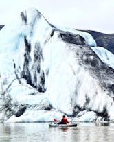
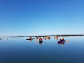
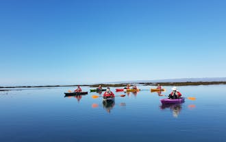
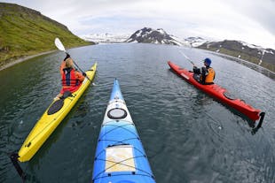
Whether you're paddling through the pristine fjords, alongside towering glaciers, or across calm lakes, kayaking in Iceland is an experience that combines adventure with the tranquility of nature. These tours are perfect for everyone, from those seeking a peaceful paddle to adventure enthusiasts looking for an exhilarating experience.
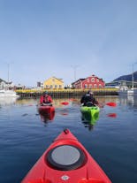
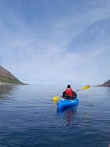
Kayaking tours in Iceland are designed to cater to all skill levels, ensuring that whether you're a first-time paddler or an experienced kayaker, you'll find an excursion that suits your needs.
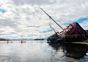
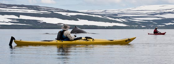
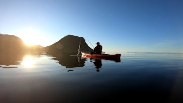
Led by experienced guides, these tours provide an opportunity to explore Iceland's stunning waterways and offer insights into the country's rich natural history and ecology. Watch for the diverse wildlife that call these waters home as you glide through the waters, from playful seals to various seabirds.
Embarking on a kayaking tour in Iceland is more than just an activity. It's an immersive experience in one of the world's most extraordinary environments. Every stroke through the clear, cold waters offers a new perspective on Iceland's dramatic landscapes under the ever-changing sky that ranges from the midnight sun to the mystical northern lights.
So, join us for a journey that's not just about the destination but about the unforgettable moments and connections with nature you'll make along the way. Whether you're looking for a relaxing escape or an adventurous exploration, kayaking in Iceland is an adventure that should not be missed.
Frequently asked questions
What is the best kayaking tour in Iceland?
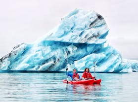
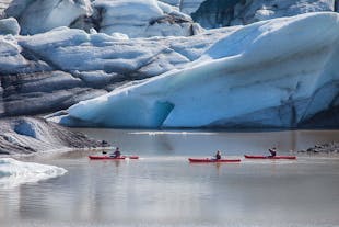
The second-best kayaking tour in Iceland is this 2.5-hour trip on the Solheimajokull glacier lagoon. It's rated five stars and costs approximately 130 USD.
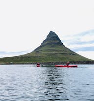
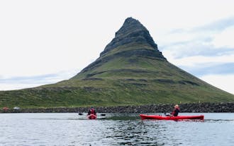
The third-best kayaking tour in Iceland is a scenic three-hour midnight sun kayaking tour by Mount Kirkjufell on the Snaefellsnes Peninsula. It's rated five stars and costs about 126 USD.
Are kayaking tours in Iceland worth it?
These tours cater to all skill levels and provide a peaceful yet invigorating way to experience Iceland's diverse landscapes, making them a highly recommended activity for any visitor.
What is the cheapest kayaking tour in Iceland?
The second-cheapest kayaking tour in Iceland is a relaxing two-hour Eastfjords kayaking tour from Djupivogur. It's rated 4.7 stars from seven reviews and costs around 90 USD per person.
The third-cheapest kayaking tour in Iceland is an intermediate-level two-hour kayaking power challenge circle tour from Stokkseyri in coastal Southwest Iceland. It costs approximately 93 USD per traveler.
What multi-day kayaking tours are available in Iceland?
This spectacular 3-day guided kayaking tour in the Westfjords departs from Isafjordur and costs approximately 1,034 USD per person.
Or, discover the idyllic beauty of the Hornstrandir nature reserve on this 4-day kayaking adventure from Isafjordur. It includes comfortable accommodation and most meals, costing about 1,135 USD per traveler.
Book this 6-day trip paddling in the wild through the Hornstrandir nature reserve for an extended kayaking adventure. It departs from Isafjordur, includes all food and cooking gear, and costs around 2,015 USD per person.
Do you need to be experienced to go on a kayaking tour in Iceland?
What time of year can you kayak in Iceland?
Is there an age restriction on kayaking tours in Iceland?
How many people fit in a kayak?
What should I wear on a kayaking tour in Iceland?
Do I need to bring any equipment for my kayaking tour in Iceland?
Can I bring my camera/phone with me on a kayaking tour?
What happens if I fall in the water during a kayaking tour?
Do I need to be able to swim to go on a kayaking tour in Iceland?
How long will a kayaking tour in Iceland last?
What types of wildlife might I see during a kayaking tour in Iceland?
Are there different levels of difficulty available for kayaking tours in Iceland?
Tour operators typically provide detailed information about the difficulty level of each excursion, ensuring that participants can choose a tour that matches their comfort and skill level.
Can kayaking tours in Iceland accommodate people with disabilities?
What are the safety measures and emergency protocols for kayaking tours in Iceland?
How does the weather in Iceland affect kayaking tours?
Are there any environmentally friendly practices followed during kayaking tours in Iceland?
Can I book a private kayaking tour in Iceland, and how does it differ from regular tours?
What are the most scenic kayaking routes in Iceland for nature photography?
These locations provide stunning backdrops for nature photography, capturing the tranquility and grandeur of Iceland's natural environment.


Download Iceland’s biggest travel marketplace to your phone to manage your entire trip in one place
Scan this QR code with your phone camera and press the link that appears to add Iceland’s biggest travel marketplace into your pocket. Enter your phone number or email address to receive an SMS or email with the download link.


