
Kerlingarfjöll, the land of ice and fire in the Highlands

Well, I must admit that when I think of Iceland, I think about ice, glaciers and also volcanoes, steam, geysers... Volcanic activity is what brings me the first time in Iceland, as I remembered the eruption of the Eyjafjallajökull in 2010, that almost killed my holidays :) It's not called the land of ice and fire for nothing. I had the chance to have both ice and fire in a place called Kerlingarfjöll in the Highlands. It's so beautiful.. especially during a sunny day ;)
Consultez ici l'article en français

What's Kerlingarfjöll?
Kerlingarfjöll is an amazing spot in the Highlands. Kerlingarfjöll is a 1,477 m (4,846 ft)) tall mountain range in the Highlands of Iceland near the Kjölur highland road. They are part of a large tuya volcano system of 100 km² (39 sq mi). You can spot directly the volcanic origin of these mountains by the numerous hot springs and rivulets in the area, as well as red volcanic rhyolite stone the mountains are composed of. Minerals that have emerged from the hot springs also color the ground in yellow, red and green. Amazing landscapes meaning you need to stop there :)
The Kerlingarfjöll are famous for their many hiking possibilities, especially those leading to the hot springs located in Hveradalir, in the middle of the rhyolite, the red-orange rock whose volcano is essentially constituted. Remember that if you love geology that the volcanic activity of Kerlingarfjöll is due to the ridge crossing Iceland in two.

Why do you need to go to Kerlingarfjöll?
I would definitely recommend to go to Kerlingarfjöll if you want to experiment the Highlands. In addition, if you like to hike and want to hike for only one day or for few days, Kerlingarfjöll is a really nice place with many hiking paths, going through more and more beautiful landscapes. To appreciate this place, I must say that you will have to wait for the "perfect" day considering the weather... the hiking paths are almost impassable due to mud.
How to get there?
Kerlingarfjöll is located on the F347 road, only accessible by 4x4. From Reykjavik, it takes about 3,5 hours without stops and it really depends on your speed (believe me, it's difficult to drive fast when you have holes and gravels on the road). Check the map on this link. To rent a 4x4, you can follow that link: it will be the best option.
Another option: the bus! You only need to check the buses schedules. The buses are running only during the summer when the road is open (between June and early September). For more information, you can have a look at the website of the bus company SBA-Nordurleid : choose departure and arrival - possible departure from Reykjavik, Akureyri and many other locations. Remember to check the timetables!

What to do in Kerlingarfjöll?
Well, as I said before, Kerlingarfjöll is a paradise for hikers so you will have to put on your hiking boots and go for a hike!
There are plenty of hikes, you can have details of the hiking paths by taking a map from the campsite/accomodation located in Aðalskáli (check also the website) :
First suggestion: Hverdalir Adventure - The lower Geothermal Area
This route begins at the car park by Neðri-Hveradalir (by the big huts) and takes you through the geothermal area Hveradalir. This is where ice and fire meets. The geothermal area is vast and you can spend a full day exploring. Experience you will never forget. Be careful when traveling in the high heat area (stay on the paths). You can stay and hike around : if you hike on a sunny day, I suggest to start early in the morning and hike all day. You can do many loops and find so many different spots, you won't regret ! This hike is for everyone and is not really difficult!
Second suggestion: Austurfjöll - Trailing the peaks
This trail begins at the parking lot at Kastali house and from there either over the snowy slopes of Fannborg to Mt. Lodmundur. From Lodmundur to the peak of Snot and from there to the highest peak of Kerlingarfjoll - Snaekollur (1,428m). From Snaekollur to Vesturgnipa and over the passage to Fannborg. From Fannborg back to the parking lot. This is a rather demanding walk but you are rewarded with the fabulous scenery from the peaks.
Last suggestion: The Challenge - Around Kerlingarfjöll in 3 days - The Circle Route
Check the map of the hiking trail on this link.
Find all the activities in Iceland during summer here.

If you want to get a full "Highlands experience", you can also check my blog about Landmannalaugar. Check also this autotour that can lead you both to Kerlingarfjöll and Landmannalaugar (it includes the 4x4 that will be necessary to go through the F roads).
Contact me for more information.
Tours at Kerlingarfjöll
If you want to book a tour, I recommend this tour (departure from Akureyri (north Iceland)) : you will have the chance to discover both Kerlingarfjöll and Hveravellir (see the picture below), in central Iceland, another wonderful spot where you will meet sheeps grazing on a steamy land (believe me it looks not real!) and have a chance to take a bath at the swimming pool by the small hiking path. As Kerlingarfjöll is only accessible by 4x4, if you only have a small car or came by bus or by foot, it's a great excursion to take part of!

Where to eat and to stay for the night by Kerlingarfjöll?
You will find many information on this website dedicated to Kerlingarfjöll I highly recommend to take a spot at the camping : you will have access to an equipped kitchen, what a luxury in the Highlands! :)
If you want to stay in the hut, remember to book early in advance, it's usually fully booked during the summer as it's a hot spot for hikers.
If you're going on the 3 days hike, just remember to check the website to follow the routes and stay by the huts.
My advice and information to remember :)
- do not attempt to hike if you do not feel like walking for a long time and in difficult conditions (rain, wind, snow..) and remember to check the weather forecast, the paths can be dangerous in rain/snow as they tend to be super muddy. For the weather forecast click here or ask to a local at the campsite / accommodation.
- you can find all about the road conditions on this website : road.is
- do not forget to take warm clothes, windproof and waterproof: the icelandic rain is sometimes horizontal, you must be ready to have waterproofs for every part of your body (shoes, pants, jacket...) - remember that this part of the Highlands is really windy and the wind can be really cold.
- If you're attempting to do the 3 days hike, in addition of the website, check my article about Landmannalaugar in which you will find more advice about what to bring with you.
Have a nice trip! Góða ferð!


Otros blogs interesantes

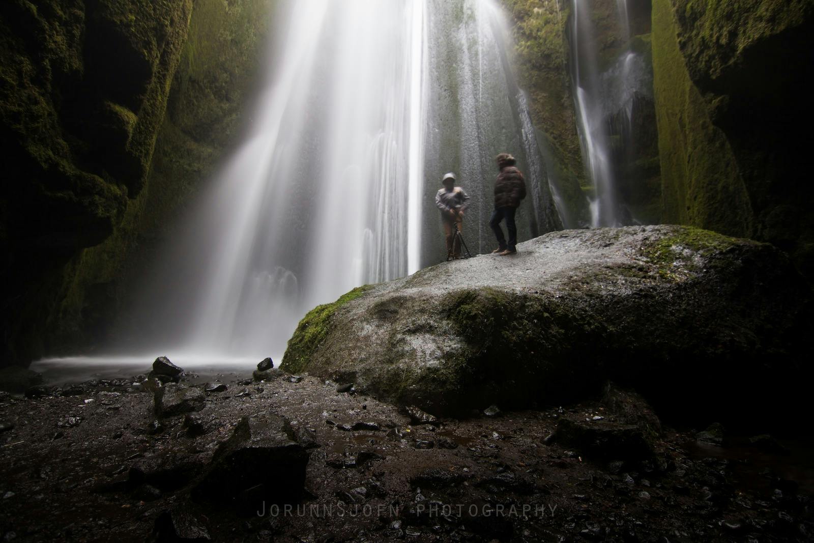
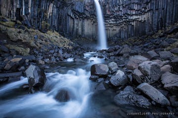
Chasing Waterfalls in Iceland
Iceland is spectacular in so many ways and Icelandic nature is quite unique with its vast landscape, volcanic activity, geothermal areas, glacier lagoons and sceneries, black sand beaches and spectLeer másSænautasel Turf House in the Highland of Iceland
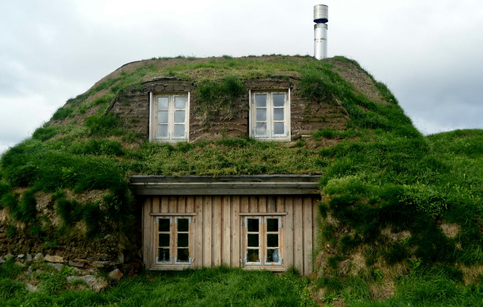
In my search for turf houses around Iceland, I visited Sænautasel, which is a rebuilt turf house on Jökuldalsheiði heath in the highland of Iceland. It is, in my opinion, an extremely cute turf hoLeer másThe Dynamic Plant Lupine
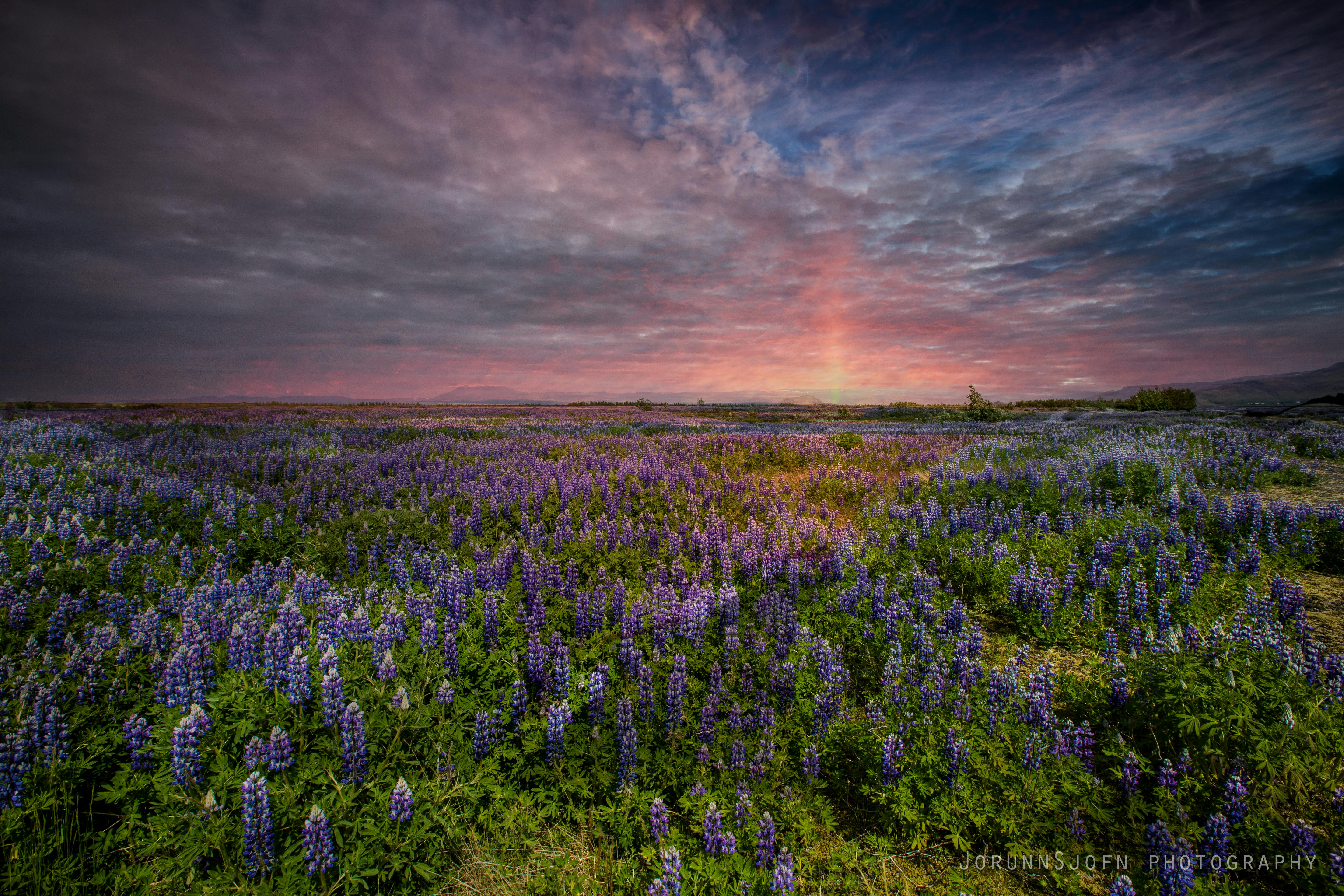
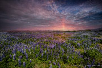
People have been asking me where to find lupines in Iceland. If you like them you should be able to find them easily in Iceland in summer. They are in bloom and visible almost wherever you drive aroLeer más


Descarga la mayor plataforma de viajes a Islandia en tu teléfono para gestionar todo tu viaje en un solo lugar
Escanea este código QR con la cámara de tu teléfono y haz clic en el enlace que aparece para añadir la mayor plataforma de viajes a Islandia a tu bolsillo. Añade tu número de teléfono o dirección de correo electrónico para recibir un SMS o correo electrónico con el enlace de descarga.


