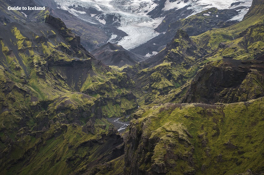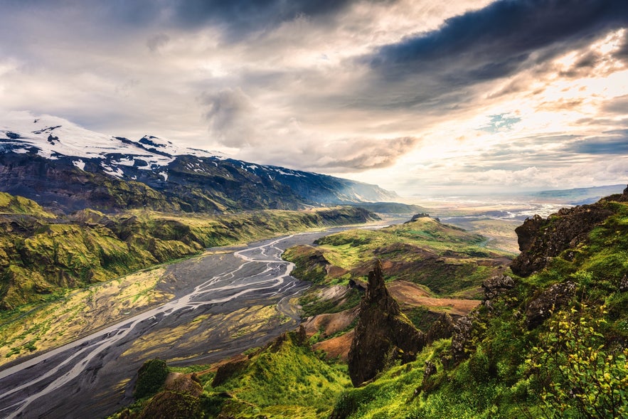
Thórsmörk on luonnonsuojelualue Islannin eteläisillä ylängöillä. Se on yksi maan suosituimmista vaelluskohteista ja erinomainen paikka valokuvaajille ja luonnon ystäville.
Thórsmörk, joka on nimetty ukkosenjumala Thorin mukaan, on todella vaikuttava näky. Jättimäisten jäätiköiden välissä sijaitseva luonnonsuojelualue tarjoaa intiimin kokemuksen Islannin monimuotoisista maisemista. Kätketyt vesiputoukset ja henkeäsalpaavat panoraamanäkymät tekevät Thórsmörkin vierailusta unohtumattoman.
Miksi sisältöömme voi luottaa
Guide to Iceland on Islannin luotetuin matkailusivusto ja auttaa vuosittain miljoonia matkailijoita. Kaikki sisältömme on paikallisten asiantuntijoiden kirjoittamaa ja tarkastamaa – he tuntevat Islannin läpikotaisin. Voit luottaa siihen, että saat meiltä ajankohtaista, paikkansapitävää ja luotettavaa matkailutietoa.
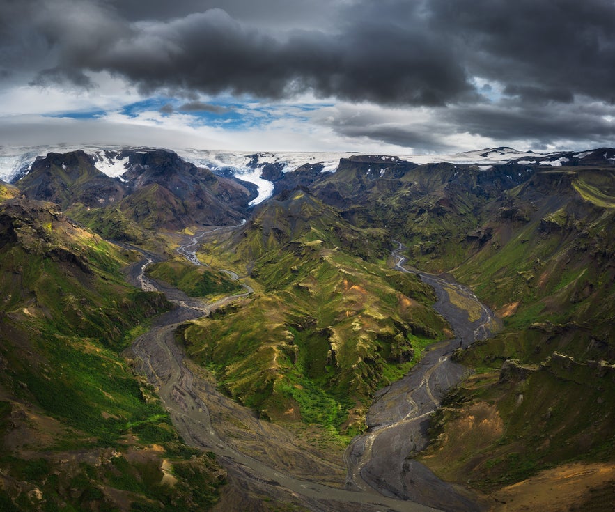
Tarkkaan ottaen Thórsmörk on laakso ja vuoristoalue Krossá-, Thröngá- ja Markarfljót-jokien välissä, mutta paikalliset käyttävät nimeä usein paljon laajemmasta alueesta sen ympärillä.
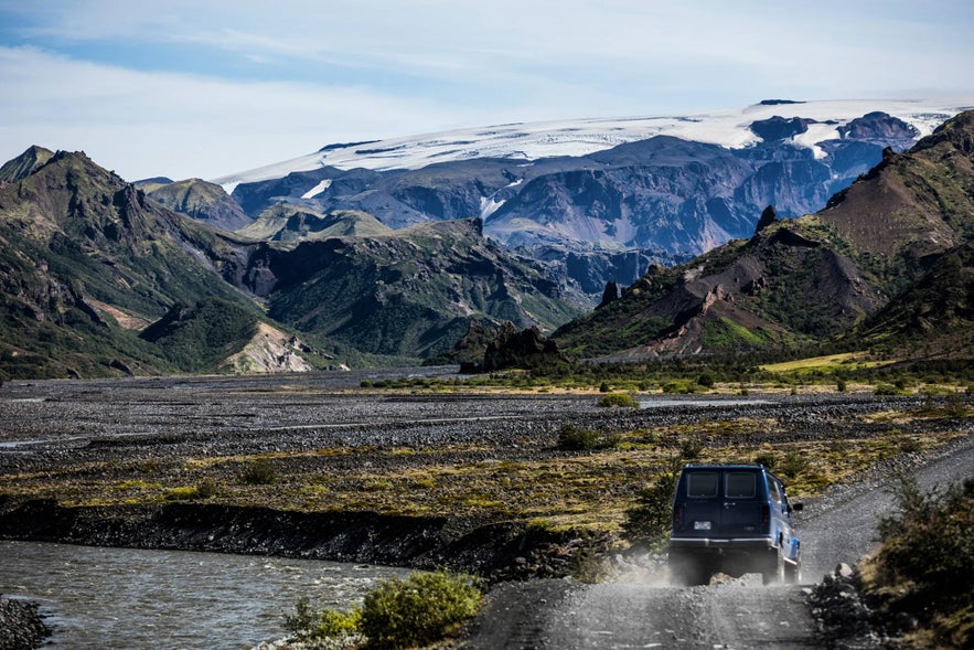
Kuten muutkin Islannin ylänköalueet, Thórsmörkille pääsee vain kesäkuukausina. Tie alueella on karu, joten omatoimista matkaa varten on tarvitsen nelivetoisen auton. Vaihtoehtoisesti voit osallistua Thórsmörkin Super Jeep & vaellusretkelle, jossa paikallinen asiantuntija opastaa sinut laakson parhaisiin kohteisiin.
Saapuminen Thórsmörkiin
Thorsmorkiin pääsee autolla ajamalla eteläistä rengastietä ja kääntymällä tielle 249 laaksoa kohti. Kuten aiemmin mainittiin, tarvitset nelivetoauton, sillä reitti kulkee sillattomien jokien yli, joten pienemmät vuokra-autot eivät sovi tähän tarkoitukseen. Islannin ylänköalueet ovat suljettuina talvisin (16. lokakuuta - 30. huhtikuuta), joten sinne ei kannata yrittää matkustaa kesän ulkopuolella.
Viimeinen joki ennen Thórsmörkia on Krossa, jonka tulisi ylittää vain kokeneiden kuljettajien nelivetoautolla ja vain olosuhteiden salliessa, sillä joki voi olla erittäin vaarallinen kaikentyyppisille ajoneuvoille. Vaihtoehtoisesti voit vierailla alueella asiantuntijan johdolla Thórsmörkin Super Jeep & vaellusretkellä.
Kun saavut Thórsmörkiin, vastassasi ovat henkeäsalpaavat maisemat ja leirintäalue, josta löydät palveluita, kuten infopisteen, josta saat tietoa lähellä olevista vaellusreiteistä, sekä ravintolan ja kaupan.
Aktiviteetit Thósmörkissä
Thorsmorkin maisemissa on joitakin Islannin upeimmista vaellusreiteistä. Kaksi Islannin suosituimmista reiteistä, Fimmvörduháls ja Laugavegur, alkavat tai päättyvät Thórsmörkissa. Nämä monipäiväiset vaellusreitit vaativat kohtuullista peruskuntoa ja jonkin verran valmistautumista.
Fimmvörduháls on 30 kilometrin pituinen reitti, joka vie sinut Eyjafjallajökull-jäätikkötulivuoren alapuolisille kukkuloille sekä Magni- ja Modi-tulivuoren kraattereille, jotka syntyivät vuoden 2010 purkauksessa.
55 kilometrin pituinen Laugavegur-reitti vie sinut Thórsmörkista Landmannalaugarin alueelle, jossa on uskomattoman paljon kuumia lähteitä ja värikkäitä rioliittivuoria.
Thórsmörkissa on myös useita lyhyempiä vaellusreittejä, jotka voivat kestää tunnista koko päivään. Valahnukur-vuoren huipulle kiipeäminen on suosittu ja helppopääsyinen aktiviteetti Thórsmörkissa, ja palkinto kiipeämisestä huipulta avautuu henkeäsalpaava panoraamanäkymä ympäröivään alueeseen.
Toinen mielenkiintoinen kohde Thórsmörkissa on Stakkholtsgján kanjoni. Kanjonin läpi kulkeminen tuntuu kuin olisi mukana seikkailuromaanissa: jyrkät, sammaleiset kalliot reunustavat polkua ja pieni puro johdattaa vierailijat lopulta piilotetulle vesiputoukselle kruunaten matkan.
Majoittuminen Thórsmörkissä
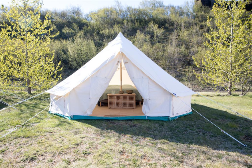
Jos haluat yöpyä Thórsmörkissa useamman kuin yhden päivän, Volcano Huts tarjoaa muutamia erilaisia vaihtoehtoja mieltymystesi mukaan. Yksi suosituimmista vaihtoehdoista on yöpyä yhdessä heidän kodikkaista mökeistään, joita voi vuokra kokonaan itselleen, yksittäisen huoneen tai majoittua edullisessa yhteismajoituksessa. Koska tilaa on rajoitetusta, varaus kannattaa tehdä hyvissä ajoin etukäteen.
Volcano Hutsilla on myös leirintäalue, jonne voit tuoda oman teltan, makuupussit ja muut retkeilyvarusteet. Jos haluat leiriytyä tyylikkäästi, voit tutustua glamping-vaihtoehtoon, jossa saat ylellisen kahden hengen luksusteltan. Näissä tilavissa teltoissa on sähkölämmitin, untuvapeitot ja villahuovat, jotka tarjoavat lisälämpöä ja mukavuutta.
Thórsmörkin ulkopuolella on myös runsaasti hyviä majoitusvaihtoehtoja. The Garage tarjoaa viihtyisiä yksiöitä Seljalandsfossin ja Skogafossin vesiputousten välissä. Erinomainen sijainti, jos haluat vierailla Thórsmörkissa tai nähdä muita Etelä-Islannin nähtävyyksiä.

