My Favorite Hiking Trails Around Reykjavík

My favourite hiking trails around Reykjavík
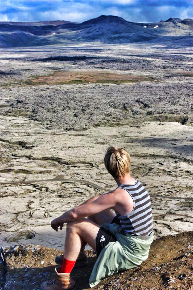
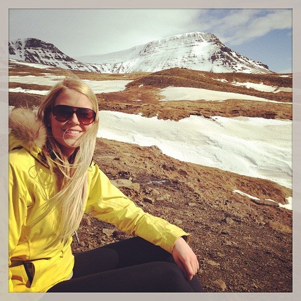
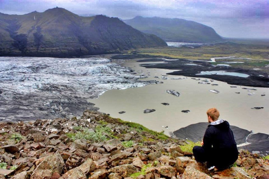
As an Icelander I love to share with you hidden secrets from our remote island. During off days and weekends, there is nothing that I love more than spending my time outdoors. My top of the list activity is hiking; the options are endless and there is no better way to discover the land of ice and fire! You can hike up mountains, volcanoes, glaciers, waterfalls or walk along the black beaches and moss-grown lava fields.
There is nothing more refreshing than breathing in fresh Icelandic mountain air or relax in one of Iceland’s many natural hot springs.
Móskarðshnjúkar
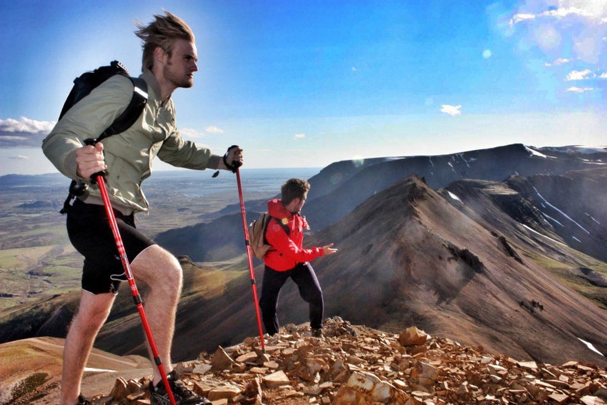
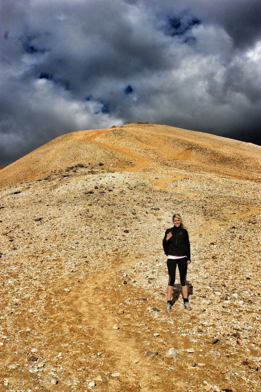
Located in Mosfellsdalur, a mere 20 min drive from Reykjavik, Móskarðshnjúkar offers a less discovered hiking path even by the locals of Iceland. The peak belongs to Mt. Esjan, the well known volcanic mountain range, and Iceland’s most popular mountain for hiking. However, this path leads to the two bright cone shaped peaks on the eastern side of the range. They often seem to be sparkling from a distance and have a distinct bright yellow color, a result of the rhyolite, a volcanic rocks that cover the peaks.
This hike is quite challenging but the scenery is amazing. You will walk through small lava fields, covered in moss and blue berries. As you get higher the flora will disappear but you will start noticing basalt stones and the yellow rhyolite rocks at the top. Some areas may be covered in snow year round. The view from the top is breathtaking, with a panoramic view over Reykjavík as well as a good view over the neighbouring peaks and ridges of the Esjan mountain range.
Hiking time: 4 hours
Trail length: 3 km (6 km roundtrip)
Elevation: 677 m
Summit: 807 m
Difficulty: Challenging
How to get there: Drive from Reykjavík towards Mosfellsbær. When you’re almost through town make a right turn (first exit) on the last round-abound towards Reykjadalur. After a 10-20 min drive you’ll reach a sign listed Hrafnhólar to the left (easily missed). Follow the muddy road until you reach an old summerhouse area. This is the end of the road and you should be close to a small bridge which you have to cross by foot to start our hike. Notice: This road can be closed during winters.
Reykjadalur
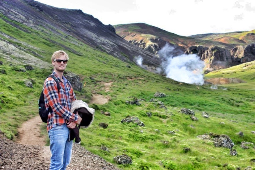
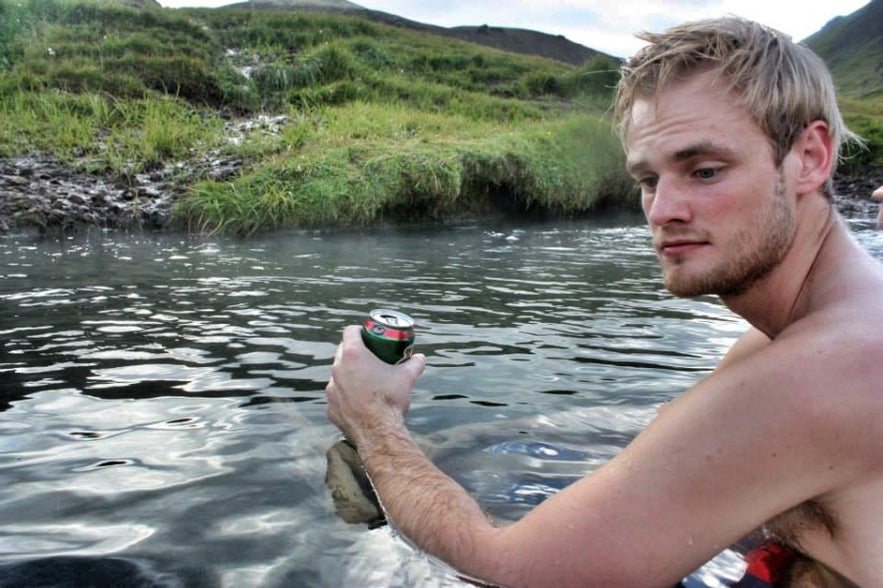
This hike leads you up to a unique hot spring river that is ideal for bathing. You start at the backside of a cute little town, Hveragerði or “Steam Valley”, renowned for it’s geothermal activity. Here, people literally have hot springs in their backyard. The town also hosts a geothermal park which is worth the visit. In the park the locals bake the famous black bread using the geothermal ground as an oven.
This hike in Reykjadalur used to be our favourite a few years back, since we usually had the whole place to ourselves. Today a lot has changed, with more and more tourist visitors every year. Unfortunately the hot springs are not as unspoilt as they were; now they have built wooden ramps and cabins for changing clothes around the hot spring river. However, it’s still worth to make your way up there and experience this beautiful valley. You will witness everything from vibrant sulphur springs to small gurgling melting pots. It will take you around 1 hour to reach the warm river where you can relax after the hike. (Remember to bring swimsuits!)
Hiking time: 2 – 3 hours
Trail Length: 3 km (6 km roundtrip)
Elevation: 200-300 m
Difficulty: Easy
How to get there: Reykjadalur is situated a 30-40 min drive from Reykjavík. Drive from Reykjavík and follow the signs towards Hveragerði/Selfoss. Drive the main road (route 1) until you reach Hveragerði. Drive through this small town until you reach the backside. You will reach a point where there is a right turn to a golf course, but there you should follow the road to the left and continue to its end, where there is a car park by a small river (Varmá).
Mt. Vífilsfell
One of the most popular hikes among citizens of Reykjavík, in clear sky conditions this peak will offer one of the best views over the greater Reykjavík area, Mt. Esjan and the Reykjanes peninsula (the lower leg of “sheep-shaped” Iceland). The hike can be inaccessible during winters, but if so we recommend the nearby Bláfjöll (“Blue Mountains”), the most popular skiing area around Reykjavík.
Hiking time:1,5-2,5 hours
Trail length: 3 km (6 – 7 km roundtrip)
Summit: 655 m
Elevation: 305 m
Difficulty: Easy
How to get there: Only a 20 min drive from Reykjavík, head towards Hveragerði and Selfoss on the main road, route 1, until you reach a sign for Bláfjöll skiing area. Drive past it and take the next right turn and follow the road until you reach the roots of the mountain.
Mt. Esja
Mt. Esja (usually referred to as “Esjan” or “the Esja”) is probably the best known and the busiest trail outside Reykjavík. You will be sure to meet many happy Icelanders on the way who greet you “góðan daginn!” every time you pass. Most citizens of Reykjavík have hiked up Mt. Esja during some point of there life, even though they haven’t gone up a single other mountain in Iceland. After holidays abroad, we really don’t feel like home when landing at Keflavík Airport, it’s not until we can see our “City Mountain” that “home” kicks in. Many Icelanders go up there every weekend and some every day, no matter the weather conditions. It’s also popular among athletes who will go up and down the mountain as often as 10 times in one day. So don’t get startled if you see people running passed you while you’re trying to catch your breath.
As mentioned before, Esja is not a single mountain, but a volcanic mountain range. The real name of this particular hiking path takes you up to Þverfellshorn summit. The path is well marked with signs along the way. At the very start you walk past pine trees and a beautiful little river running down the mountain with drinkable fresh water. Once you start to gain some elevation you’ll have an amazing view over both the city and its surroundings. At one point the route splits up; pick the one on your left if you like the steeper more faster way up, otherwise take the right and cross the small river. Most hikers will only go as high as the big rock, simply named “Steinn” or “Stone”. From here the way to the summit becomes more steep and requires some hands on climbing (not recommended for youngest). When you get to the top you really feel like you have achieved something! Enjoy the beautiful view over the city and sign your name in the guestbook that is located at the summit.
Hiking time: 3-4 hours roundtrip
Trail length: 3,5 km (7 km roundtrip)
Summit: 780 m (Steinn: 760 m)
Elevation: 780 m
Difficulty: Challenging
How to get there: A 20-30 min drive from Reykjavik, head east through Mosfellsbær, going straight through all of the many round-abounds. As you get closer to the mountain you’ll see a big parking space and a nice café at the root of the trail. You won’t miss it. This trail is also reachable by bus (take bus 15 from Hlemmur and change to 57 in Mosfellsbær).
Glymur Waterfall
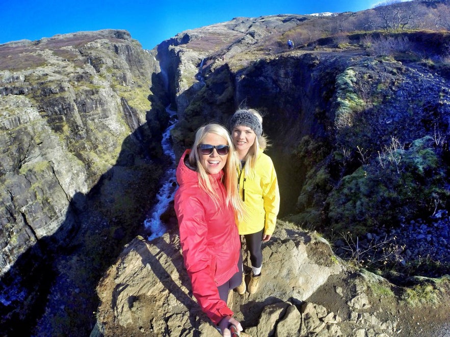
We saved the best for the last! Glymur is Iceland’s second highest waterfall (196 m) and is located in Hvalfjörður, a deep fjord north of Reykjavík. Today, the Hvalfjörður is know as a “ghost” fjord, since most Icelanders bypass it through a tunnel under the sea (built a few years ago), saving 2 hours of driving time. The “old” route 1 is even more enjoyable these days since the roads are almost empty. You’ll drive by the calm sea on your left with steep mountain ranges on your right, passing rivers and old farms.
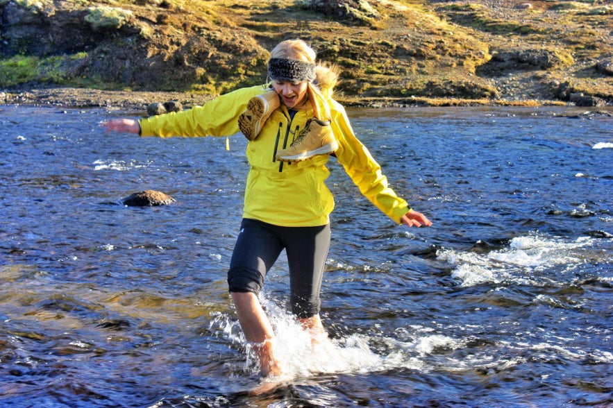
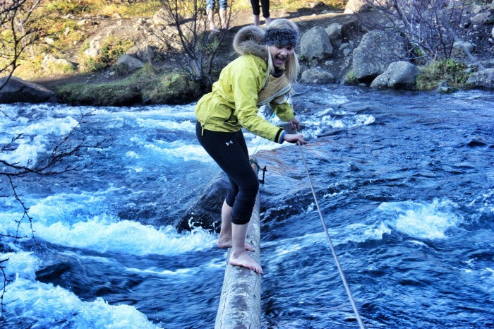
At the deep end of the fjord lies Glymur waterfall. What we love about this hike is that you won’t have to walk the same way back…this trail is a loop! However, you’ll have to wade through the freezing river that feeds the waterfall to reach the other way down, a thrilling adventure and a good massage for your tired feet!
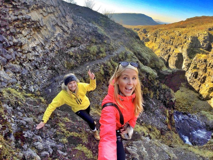
The hike starts by passing through a small cave and crossing the river Botnsá over a wooden log. We usually start from the south side of the waterfall, since that trail is steeper (dangerous to go down) and offers better views on the way up. Be careful; some parts are strenuous and potentially hazardous, and you’ll have to pass along the edges of steep drop-offs.
Hiking up Glymur waterfall is incredibly scenic and beautiful. You will catch a view over the whole fjord as well as the huge waterfall, which is otherwise hidden behind the gorge when viewed from below.
Hiking time: 3 hours
Trail length: 3 km (6 km roundtrip)
Elevation: 280 m
Difficulty: Easy – Challenging
How to get there: Glymur waterfall is located in Hvalfjorður fjord in West Iceland, about an hours drive from Reykjavík. To go there you need to drive into the rear end of the fjord. At first you will pass some old farms and few bridges. When you see an abandoned gas station, then you know that you are getting closer. There is a sign by the road nr. 47 telling you when to turn right.
Note. Take full precautions when mountain hiking in Iceland. Be sure to be well equipped and remember that mountain weather can change dramatically in a very short time. Remember to bring with you some snacks and water bottle. It’s a good rule to let at least 2-3 persons know where you are going and what time they should expect you back, like receptionists at your hotel or family members. During winter, snow overhangs can form and steep dropoffs and should be avoided.
Other interesting blogs
Chasing Waterfalls in Iceland
Iceland is spectacular in so many ways and Icelandic nature is quite unique with its vast landscape, volcanic activity, geothermal areas, glacier lagoons and sceneries, black sand beaches and spectLes merSænautasel Turf House in the Highland of Iceland
In my search for turf houses around Iceland, I visited Sænautasel, which is a rebuilt turf house on Jökuldalsheiði heath in the highland of Iceland. It is, in my opinion, an extremely cute turf hoLes merThe Dynamic Plant Lupine
People have been asking me where to find lupines in Iceland. If you like them you should be able to find them easily in Iceland in summer. They are in bloom and visible almost wherever you drive aroLes mer

Last ned Islands største reisemarkedsplass på telefonen din for å administrere hele reisen på ett sted
Skann denne QR-koden med telefonen din og trykk på lenken som vises, for å legge til Islands største reisemarkedsplass. Legg til telefonnummeret ditt eller e-postadressen din for å motta SMS eller e-post med nedlastingslenken.

