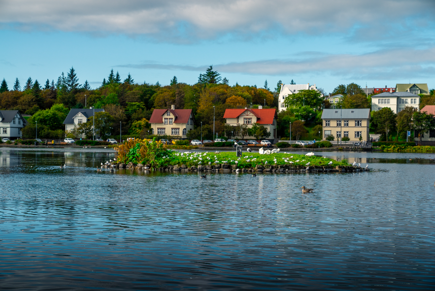
Tjörnin is the historic, picturesque pond that can be found in downtown Reykjavík.
Visit this tranquil spot and see the best of the city on a tour of Reykjavik.
Why You Can Trust Our Content
Guide to Iceland is the most trusted travel platform in Iceland, helping millions of visitors each year. All our content is written and reviewed by local experts who are deeply familiar with Iceland. You can count on us for accurate, up-to-date, and trustworthy travel advice.
Sites and Activities at Tjörnin
This popular spot in the capital city is bordered by cultural sites such as the National Gallery of Iceland, the theatre Tjarnabío, and Reykjavík City Hall.
Tjörnin has a year-round duck population, due to the fact that one corner of the lake is geothermally heated so that it never freezes over.
It is better to feed the birds with treats like oats and frozen peas, which they digest much better than bread. This is not encouraged in summer, however, as the free food attracts seagulls which compete with the residents.
Swans, geese, tern and many other species also frequent the lake throughout summer. This makes it a favourite spot in the city for birdwatching.
Of course, to sea saltwater birds like the puffin, visitors need to book a boat trip out of the city or visit a site such as the Dyrhólaey cliffs. This is only possible from May to September as they are migratory.
The pond borders a beautiful inner city park, Hljómskálagarðurinn, which includes play equipment for children and several fascinating statues.
In winter, the lake freezes so thick (everywhere but the heated part) that it is possible to ice skate on it.
Tjönin’s history
Tjörnin is much older than one might think looking at it. It was first formed at the beginning of the 9th Century, separated from the sea by a gravel barrier.
It was not separated from the sea, however, until 1913, when lochs were built around it to protect it from tidal surges. In 1920, it became even closer to its current form with the building of a bridge across it. This bridge accommodated cars from 1942.
It became a freshwater body as a result of all seawater being separated from it completely in 1989.


