
Описание
Обзор
Описание
Подарите себе незабываемый зимний уикенд в Исландии с этим трёхдневным туром, который включает самые известные достопримечательности страны — Золотое кольцо и Голубую лагуну. Этот тур идеально подойдёт тем, кто мечтает увидеть северное сияние и хочет максимально насыщенно провести короткое время в Исландии.
Самостоятельное планирование путешествия по Исландии может быть непростым — хочется увидеть всё самое интересное и при этом не тратить время на организационные вопросы. Мы возьмём все заботы на себя: подберём для вас комфортное проживание и организуем экскурсии, чтобы вы могли наслаждаться отдыхом без стресса. Вам не придётся беспокоиться и о зимних дорогах Исландии — мы всё предусмотрели для вашей безопасности и комфорта.
Вы получите подробный маршрут с рекомендациями от местных экспертов, описанием экскурсий и советами по скрытым жемчужинам, которые стоит посетить. После бронирования вы сможете адаптировать маршрут под свои пожелания вместе с вашим персональным менеджером.
Мы подберём для вас лучшие отели или апартаменты, исходя из ваших предпочтений. Размещение также можно изменить по вашему желанию, чтобы отдых был максимально комфортным.
В течение всего путешествия у вас будет круглосуточная поддержка персонального менеджера. Если ваши планы изменятся, вы сможете бесплатно отменить тур за 24 часа до вылета и получить полный возврат средств.
Этот популярный тур — идеальный выбор для тех, кто ищет короткий, но насыщенный отдых в стране льда и пламени по лучшей цене!
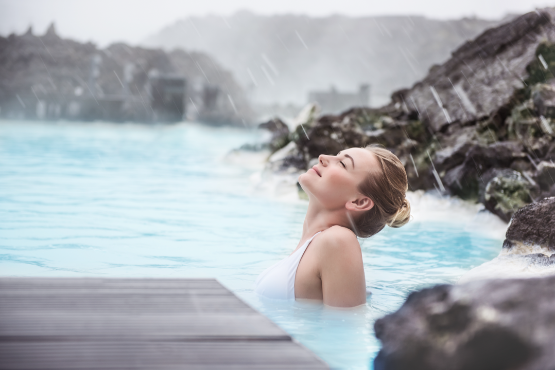
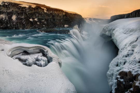
Вас ждёт посещение живописного исторического национального парка Тингведлир, кипящих грязевых источников и гейзеров в долине Гейсир, мощного водопада Гюдльфосс, а также расслабляющий отдых в минеральных водах Голубой лагуны.
Хотите добавить больше приключений? Вы можете выбрать дополнительные активности: сноркелинг между двумя континентальными плитами в расщелине Сильфра, захватывающую поездку на снегоходах по леднику Лаунгйёкюдль или неспешную прогулку верхом на исландских лошадях по живописным окрестностям.
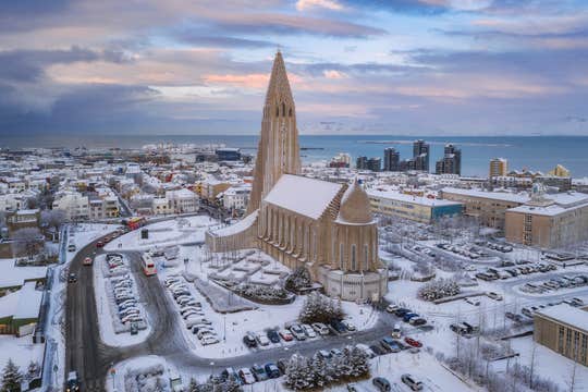
Две ночи вы проведёте в уютном отеле в Рейкьявике — современной столице Исландии. В первый день вас ждёт знакомство с городом, на второй — экскурсия по Золотому кольцу, самому популярному маршруту страны. В завершение путешествия вы сможете расслабиться в термальных водах Голубой лагуны перед вылетом домой.
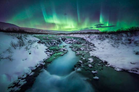
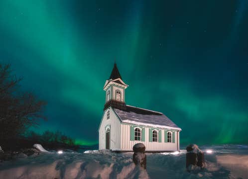
В тур также входит возможность добавить экскурсию по поиску северного сияния — выберите поездку на автобусе или морскую прогулку. Увидеть танец северного сияния в зимнем небе — уникальный опыт, который обязательно стоит испытать в Исландии.
Получите максимум удовольствия от вашего пребывания в Исландии и посетите самые знаковые достопримечательности страны с помощью этого зимнего турпакета!
Почувствуйте на себе все преимущества этого беззаботного зимнего путешествия. Проверьте наличие мест и выберите дату прямо сейчас!


