Everybody knows where are the main attractions in Iceland. You can just pick up handful of brochures at any information center and you will know how to find them. They are beautiful, no doubt, but sometimes it is hard to enjoy them with countless camper vans, tour buses and all the buzz around. So, if you were hoping to enjoy some stunning scenery and experience wild and peaceful nature on a remote island, you might feel disappointed.
However, Iceland is big and if you're not afraid to explore, there are still places that are just as stunning, but at the same time, you can completely immerse into the landscape and feel the beautiful desolation.
Another point concerning photographers. It is kind of a same deal when it comes to the popular landmarks. With million pictures out there, getting a unique shot in Iceland is getting increasingly hard. Sure, you can chase the light and make it unique, yet, I feel that in this day and age, it's just not enough.
One of my main tools is satellite maps. I explore them thoroughly, searching for any mountain peak, river, waterfall, valley, sea shore, that is not marked, but looks interesting. Then I travel to the location and find compositions that would look great in pictures. I gather this information so I can include it in my photo tours but also, just to share them with other enthusiasts, who are looking for something, maybe not completely, but different.
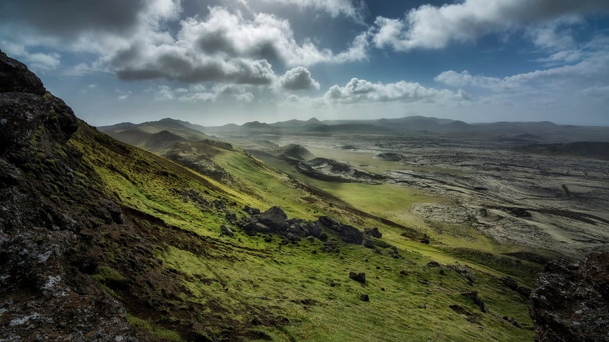
One of the places I would like to talk about in this post, is a mountainous area right in the heart of Reykjanes.
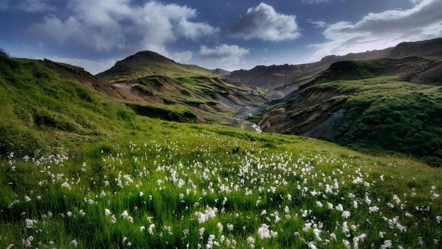
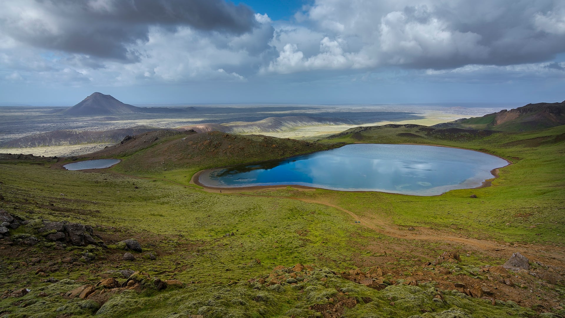
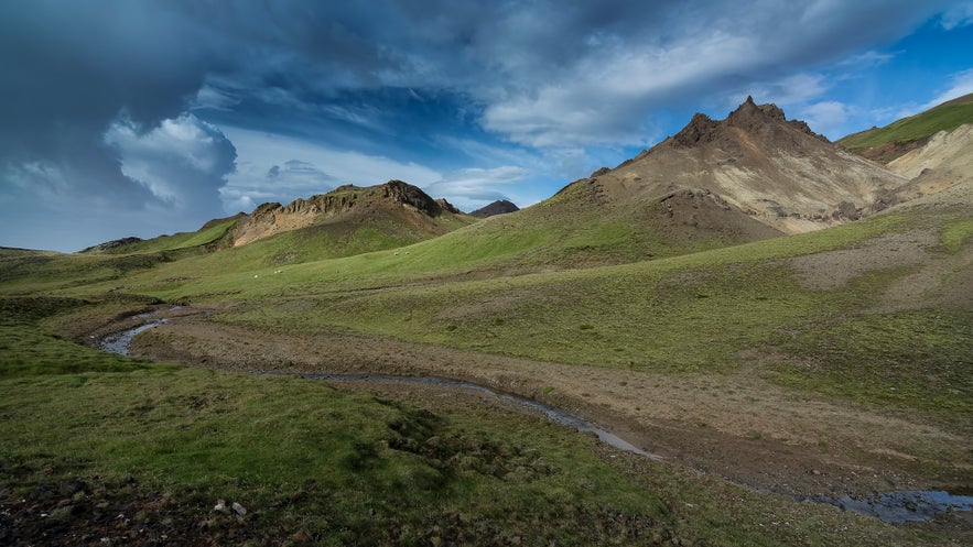
In this area you will find a recently active geothermal area, beautiful valleys and lakes and is just a joy to hike around, with no one else in sight.
You can reach this area from two sides. From the east side, after leaving Reykjavik, on the way to Keflavik, you can take the road that goes to Keilir mountain and drive until the very end. Park your car and follow the trail that leads into a geothermal valley. From there you can follow different sheep trails that will lead through the valleys and around the three kettle lakes.
You can also access this area from the east. This time, drive to Kleifarvatn following the road 42 and just before heading into the mountains, turn where the sign says Vigdísarvellir. Then drive until you reach Djúpavatn lake, where you can begin your hike there.


