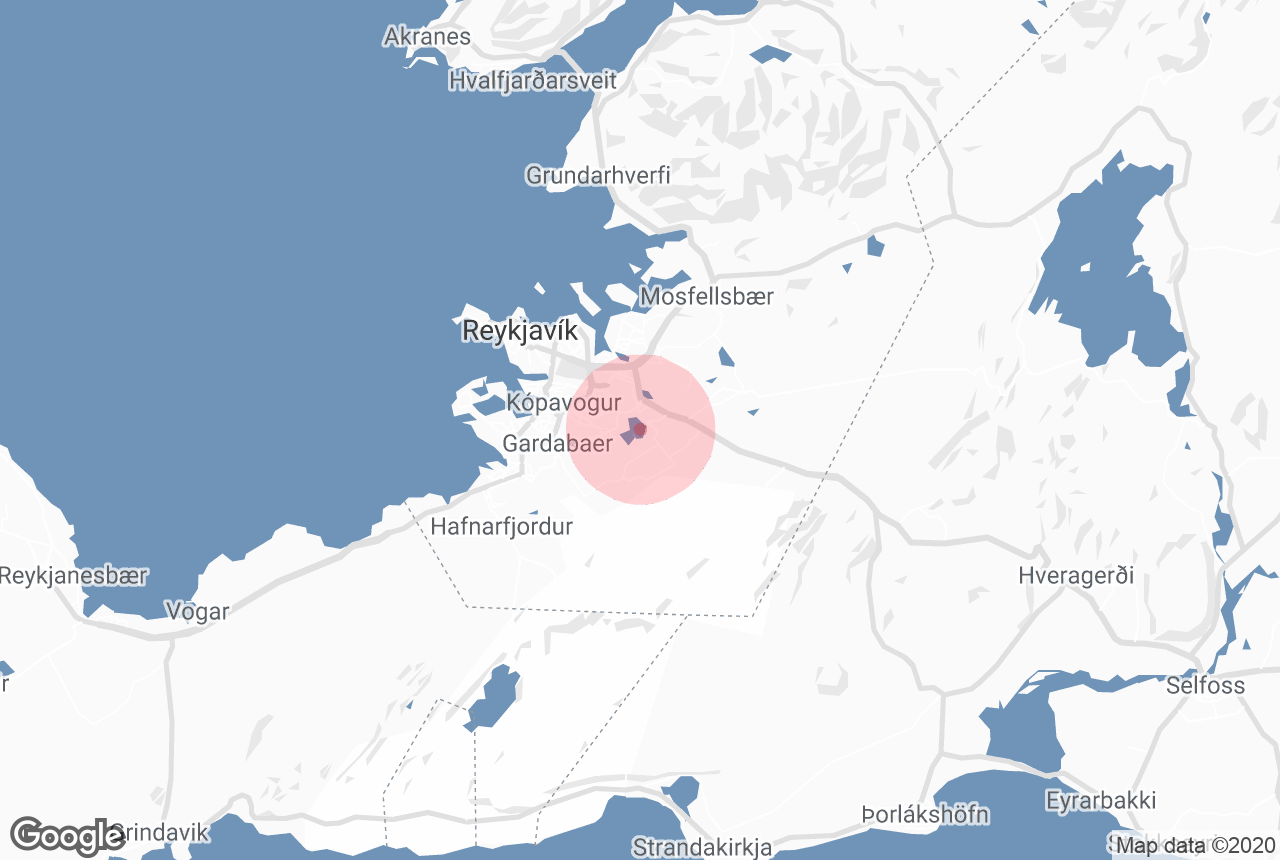

Elliðavatn is a lake within the greater capital area of Reykjavík in South Iceland.
Explore this area of Iceland on a self drive tour.
Miksi sisältöömme voi luottaa
Guide to Iceland on Islannin luotetuin matkailusivusto ja auttaa vuosittain miljoonia matkailijoita. Kaikki sisältömme on paikallisten asiantuntijoiden kirjoittamaa ja tarkastamaa – he tuntevat Islannin läpikotaisin. Voit luottaa siihen, että saat meiltä ajankohtaista, paikkansapitävää ja luotettavaa matkailutietoa.
Photo by Wikimedia, Creative Commons, by Axel Kristinsson. No edits made.
Geography and History
The lake was originally two different lakes called Vatnsendavatn and Vatnsvatn. The former belonged to the town of Kópavogur, and the latter to Reykjavík, meaning Elliðavatn rests on the borders of the two. Elliðavatn has a length of about 2 kilometres (1.2 miles) and a depth of approximately 1-2 metres (3-7 feet).
The lake is fed by the rivers Bugðá and Suðurá, but the lake’s primary outflow is the river Elliðaá. The rivers and lake are popular angling spots for catching Arctic char, salmon and brown trout.
Reaching into the lake is a spit by the name of Þingnes. According to the Icelandic Book of Settlement, Þorsteinn Ingólfsson, who was the son of Iceland’s first permanent settler Ingólfur Arnarson, called a congress there before the 930 AD formation of Alþingi in Þingvellir.