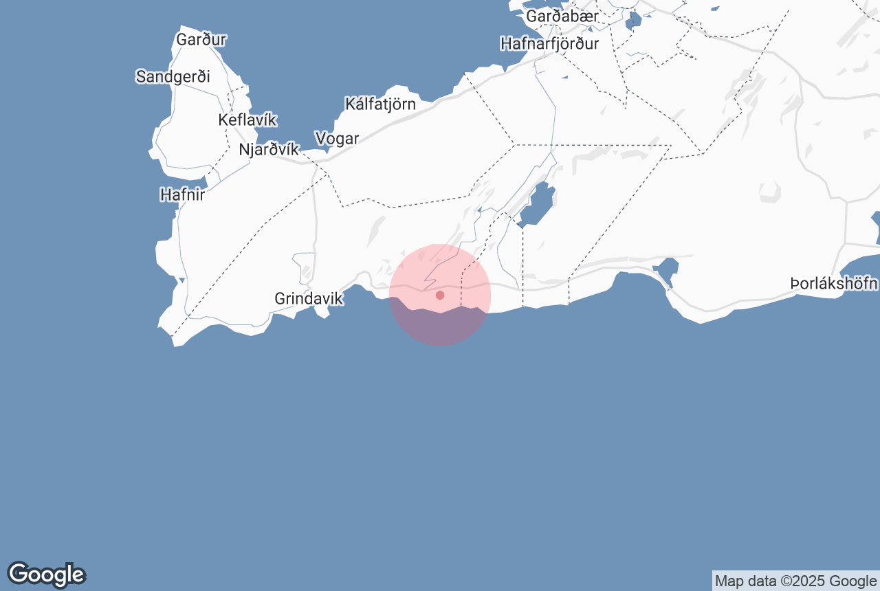

Ögmundarhraun is a lava field on the southern side of the Reykjanes Peninsula, which was formed by an enormous lava flow during an eruption in 1151 AD.
Explore this area on a self drive tour in Iceland.
Waarom u onze inhoud kunt vertrouwen
Guide to Iceland is het meest vertrouwde reisplatform in IJsland en helpt ieder jaar miljoenen bezoekers. Al onze content wordt geschreven en gecontroleerd door lokale experts die IJsland door en door kennen. U kunt op ons rekenen voor nauwkeurig, actueel en betrouwbaar reisadvies.
Photo from Wikimedia, Creative Commons, by Alexander Grebenkov. No edits made.
When Ögmundarhraun was still a burning liquid, it incinerated farms and houses in the area. It remains possible, however, to see some of the remains from the destruction, particularly near the beach Selatangar, a haunted and long-since abandoned fishing outpost.
This lava field can be found between the popular Krýsuvík geothermal area and the abandoned farm Ísólfsskáli. Its name originates from the Icelandic male name, Ögmundur.


