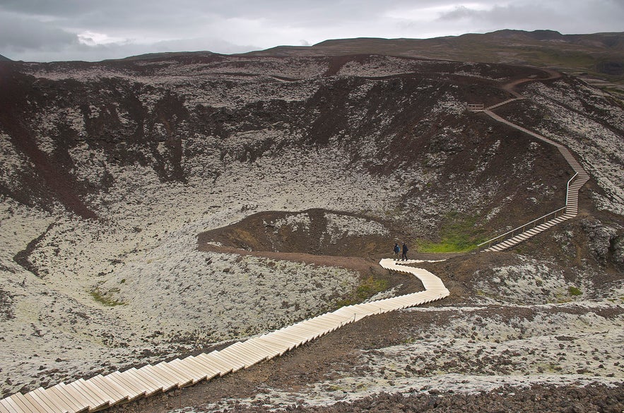
Grábrók is a volcanic crater east of Lake Hreðavatn in the fjord of Borgarfjörður in West Iceland.
Explore this region on a self drive tour in Iceland.
Why You Can Trust Our Content
Guide to Iceland is the most trusted travel platform in Iceland, helping millions of visitors each year. All our content is written and reviewed by local experts who are deeply familiar with Iceland. You can count on us for accurate, up-to-date, and trustworthy travel advice.
Photo from Wikimedia, Creative Commons, by Pjt-56. No edits made.
Formed approximately 3,400 years ago, the crater rests by the campus of Bifröst University and is a popular hiking destination for residents of the area.
Geology
Grábrók is the largest of three craters within the same volcanic fissure. The fissure is only about 7 kilometres (4,3 miles) in length with the average thickness of 20 metres (66 feet). As the last eruption happened, the lava dammed the river Norðurá and pushed it east up the valley. The lava, known as Grábrókarhraun, also dammed the valley which is now, consequently, Lake Hreðavatn.
Surroundings
Both the lava field and its craters have been protected as a nature preserve since 1962. All three craters, Grábrók, Rauðbrók and Smábrók, are easily accessible from the Ring Road and boast comfortable hiking trails fit for people of all ages. The view from the top is particularly scenic, where you can see over the university campus below, where it rests within the moss-covered lava fields of Borgarfjörður. Between Bifröst University and Grábrók is the popular roadside restaurant Hreðavatnsskáli.


