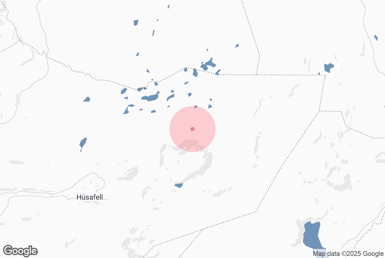
Hallmundarhraun is a lava field of the pahoehoe type (i.e. smooth unbroken basaltic lava with a smooth, billowy, undulating, or ropy surface) located slightly west of Langjokull glacier.
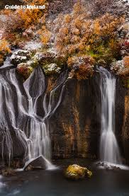
Hallmundarhraun belongs to Borgarfjordur district but lies on the fringes of the Highlands and West Iceland. The lava formed around the 10th century and flowed from craters near Langjokull glacier. At its broadest its around 7 km and its total length is about 52 km. Several caves are found in the field and at its edge are the waterfalls Hraunfossar and Barnafoss. Iceland's longest lava cave, Surtshellir, is in this lava field.
Dlaczego warto zaufać naszym treściom
Guide to Iceland to najbardziej zaufana platforma podróżnicza na Islandii, pomagająca milionom turystów każdego roku. Wszystkie nasze treści są pisane i recenzowane przez lokalnych ekspertów, którzy doskonale znają Islandię. Możesz polegać na nas, otrzymując dokładne, aktualne i wiarygodne porady podróżnicze.
Explore this area while on a self drive tour in Iceland.
