
Рейкьянес – полуостров на юго-западе Исландии, для которого характерны огромные лавовые плато, вулканы и повышенная геотермальная активность.
Один из лучших способов насладиться красотами этого региона – проехаться по нему без спешки, заказав самостоятельный автотур. Также можете ознакомиться с нашей подборкой туров по Рейкьянесу.
Вулканическая и геотермальная активность
Полуостров Рейкьянес расположен вдоль Срединно-Атлантического хребта, по которому проходит разлом между евразийской и североамериканской тектоническими плитами. Благодаря такому геологическому строению территория полуострова имеет очень высокую вулканическую активность, а ее поверхность усыпана лавовыми полями, покрытыми мхом, и конусообразными горами.
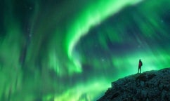
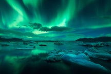
Несмотря на расположение между тектоническими плитами, в течение 800 лет на полуострове не фиксировалось ни одного извержения вулкана. Все изменилось в марте 2021 года, когда извергся вулкан Фаградальсфьядль. Фонтанирование раскаленной лавы продолжалось полгода и привлекло тысячи людей.
 В августе 2022 года Фаградальсфьядль начал извергаться повторно, а 10 июля 2023 в этом же районе началось третье извержение – рядом с горой Литли-Хрутур, что неподалеку от Фаградальсфьядля.
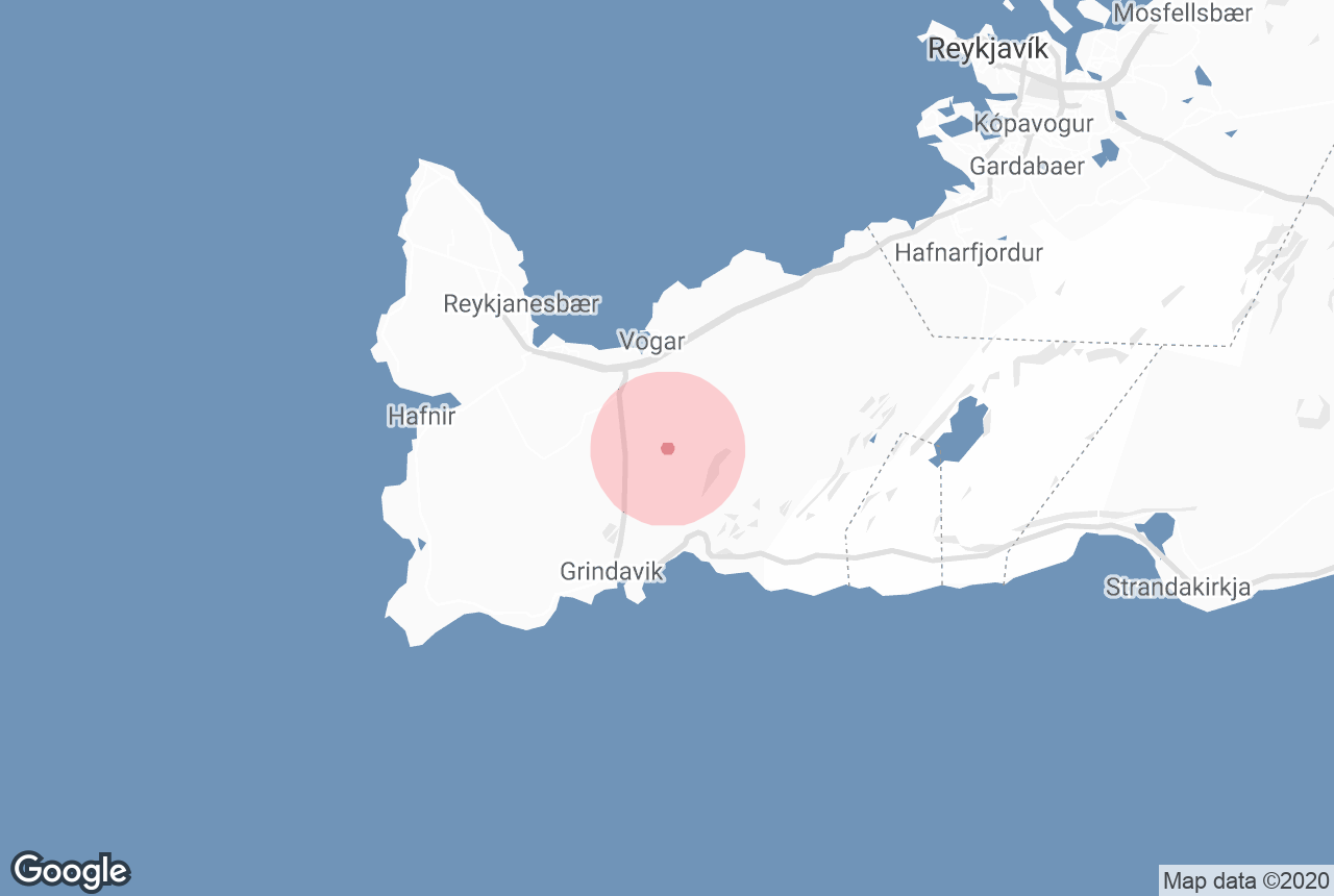
В конце того же года, 18 декабря, произошло уже четвертое извержение в районе кратерной гряды Сюндхнукагигар. После того декабря всю окрестность городка Гриндавика регулярно сотрясают короткие извержения.
Эти события изменили представление исландцев о полуострове Рейкьянес, который из спящего гиганта вдруг превратился в реальный очаг геологической активности.
Нередки здесь и землетрясения. В 2001 году землетрясение под озером Клейварватн привело к уменьшению площади поверхности озера на 25 %. С тех пор со дна озера бьют горячие источники.
Однако основными геотермальными районами Рейкьянеса являются Гуннухвер, Крисювик и Свартсенги. В Гуннухвере есть грязевые бассейны и фумаролы, в Крисювике – горячие источники и грязевые котлы, в которых благодаря минералам почва окрашена в рубиново-красный, сапфирово-синий и топазово-желтый цвета. Впечатляет и зеленое кратерное озеро Грайнаватн.
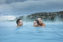
В Свартсенги есть геотермальная электростанция, вырабатывающая 76,5 МВт электроэнергии из 475 литров воды, которые каждую секунду вырываются из-под земли с температурой 90° C. Излишки этой воды, богатые минералами, наполняют водоем спа-курорта Голубая лагуна.
Природа и животный мир
Скалы Рейкьянеса облюбовало множество птиц. Самая известная колония морских птиц находится в Крисювикурбьярге, их там порядка 80 тысяч. Хотя здесь нет тупиков, это отличное место для наблюдений за бакланами, глупышами и другими видами.
К северу от Крисювикурбьярга находится уже упоминавшееся озеро Клейварватн, самое большое на полуострове и одно из самых глубоких в Исландии. В центре полуострова есть популярное у рыбаков озеро Дьюпаватн.
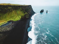
Побережье Рейкьянеса бомбардируется такими мощными волнами, какие есть редко где в мире. В нескольких минутах езды от Крисювика есть Сельвогур, где это особенно заметно – волны там разбиваются о скалы с невероятной силой. На Рейкьянесте, юго-западной оконечности полуострова, высота волн достигает тридцати метров!
В связи с этим на Рейкьянесе постоянно происходит эрозия берегов, и, если бы не извержения, которые создают новые участки суши, полуостров или бы полностью исчез в морской пучине, или имел бы значительно меньшую площадь.
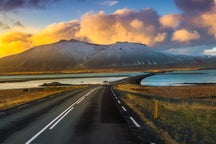
Северная сторона полуострова усеяна рыбацкими деревушками и городками, среди которых можно выделить Кеблавик, Сандгерди, Гардюр и Вогар. На южном берегу находится город Гриндавик. Вместе эти города, а также Ньярдвик, Хабнир и Асбру образуют муниципалитет Рейкьянесбайр с населением более 19600 человек. Это четвертый по населению муниципалитет Исландии.
Миднесхейди
Недалеко от Кеблавика находится пустырь Миднесхейди, где расположен международный аэропорт Кеблавик. Сюда прилетают большинство туристов, приезжающих в Исландию.
Всемирно известный курорт
На южной оконечности полуострова Рейкьянес находится геотермальный курорт Голубая лагуна – идеальное место для отдыха и купания и одна из самых популярных достопримечательностей Исландии.