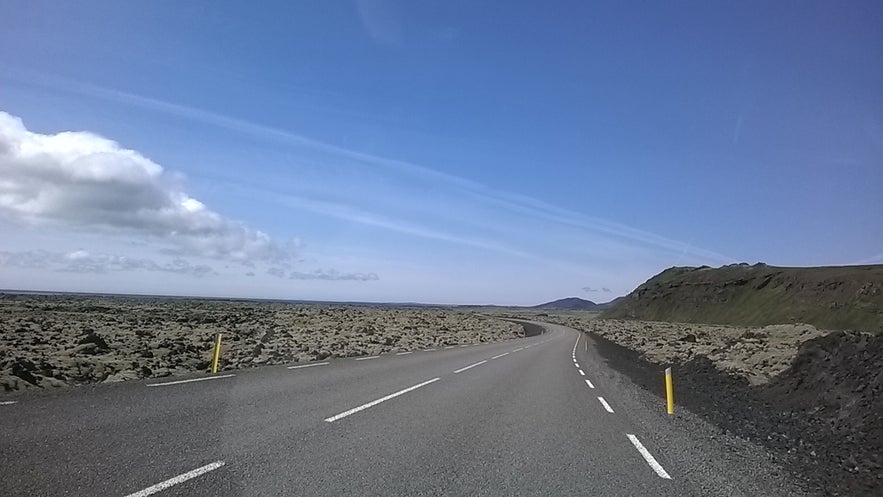
Ögmundarhraun is a lava field on the southern side of the Reykjanes Peninsula, which was formed by an enormous lava flow during an eruption in 1151 AD.
When Ögmundarhraun was still a burning liquid, it incinerated farms and houses in the area. It remains possible, however, to see some of the remains from the destruction, particularly near the beach Selatangar, a haunted and long-since abandoned fishing outpost.
ทำไมคุณถึงวางใจในเนื้อหาของเราได้
Guide to Iceland คือแพลตฟอร์มท่องเที่ยวที่น่าเชื่อถือที่สุดในไอซ์แลนด์ ในแต่ละปี เราช่วยเหลือนักท่องเที่ยวหลายล้านคน เนื้อหาทั้งหมดของเราเขียนและตรวจสอบโดยผู้เชี่ยวชาญท้องถิ่นที่รู้จักไอซ์แลนด์อย่างลึกซึ้ง คุณจึงมั่นใจได้ว่าคำแนะนำด้านการท่องเที่ยวของเรามีความถูกต้อง ทันสมัย และเชื่อถือได้
This lava field can be found between the popular Krýsuvík geothermal area and the abandoned farm Ísólfsskáli. Its name originates from the Icelandic male name, Ögmundur.


