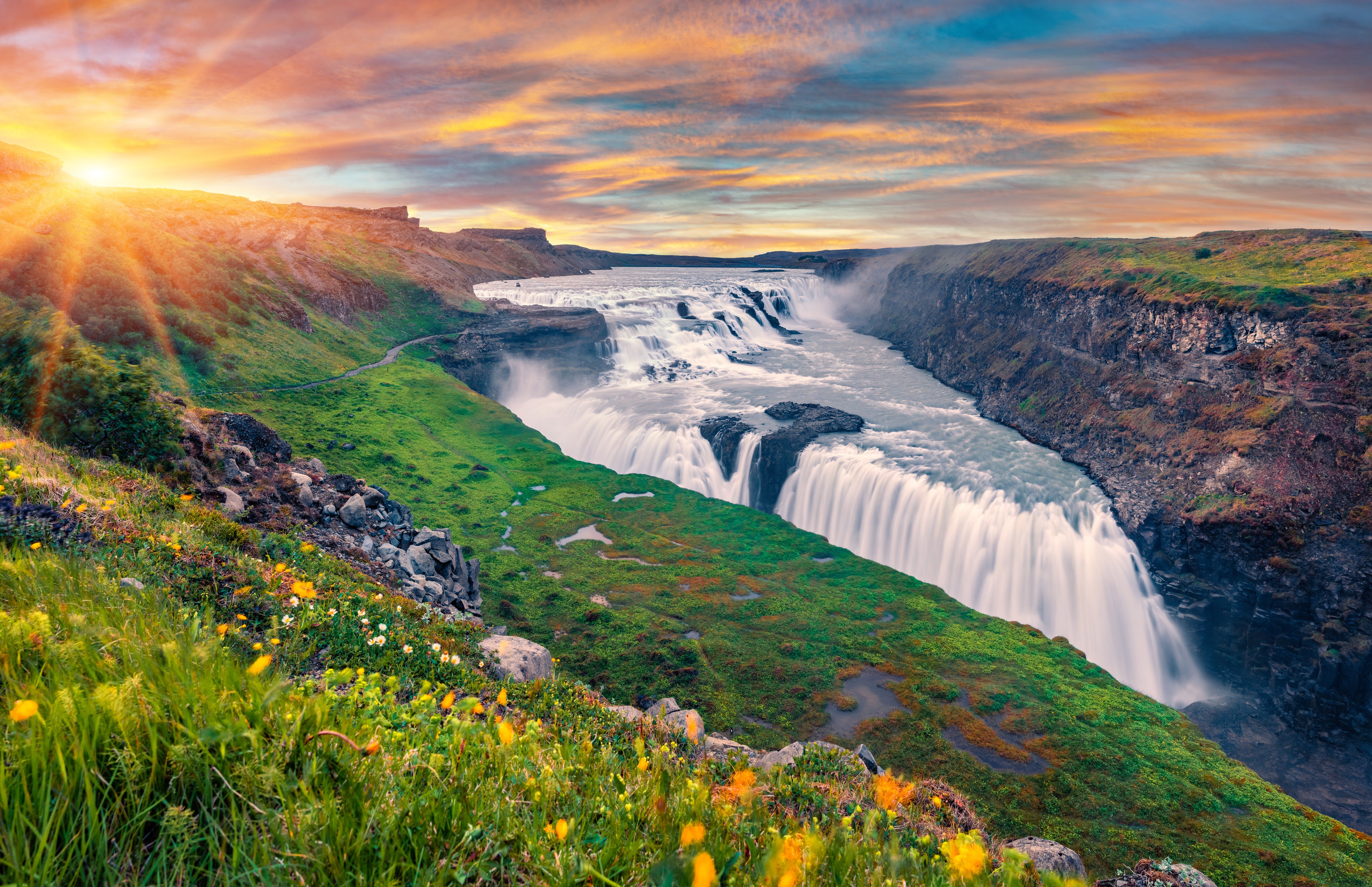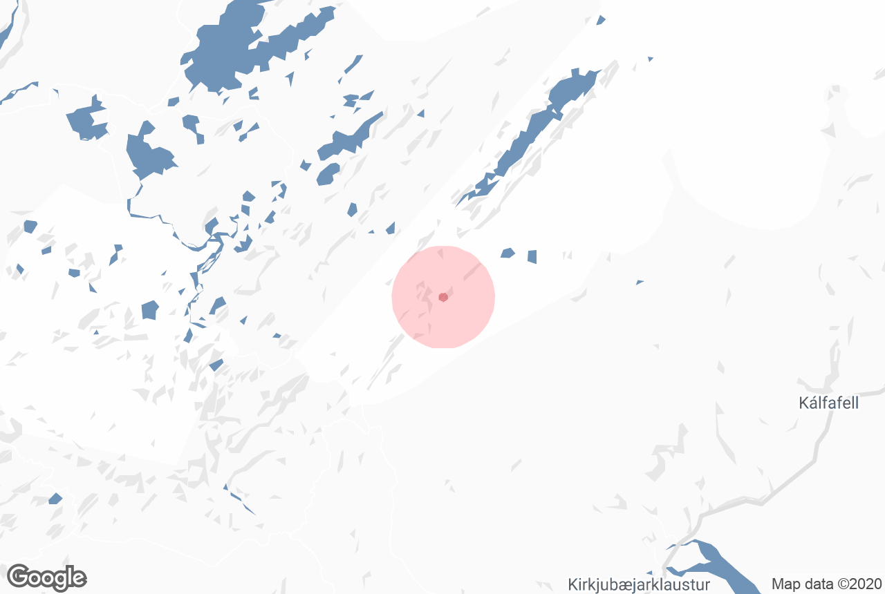

Uxatindar is a mountain peak in the Southern Highlands which stands 642 metres above sea level. It is green with moss throughout summer and is surrounded by rivers, black sand deserts, grassland and other mountains.
Explore this area on a self drive tour in Iceland.
Hvorfor du kan stole på innholdet vårt
Guide to Iceland er Islands mest brukte reiseplattform og hjelper millioner av besøkende hvert år. Tekstene våre er skrevet og sjekket av folk som bor her og kjenner landet ut og inn. Derfor kan du alltid regne med ærlige, oppdaterte og pålitelige reisetips.
Located in a very remote area, Uxatindar is usually only visited on multiday highland hikes. It is surrounded by dramatic features such as the plunging canyon Hvanngil, the lava fields of Skælingar and the river Skaftá. It is part of Vatnajökull National Park, and from it, visitors can attain great views of Europe's largest glacier.
Uxatindar is on Route F235, meaning it can only be reached in summer in a 4-wheel-drive.