

Opis
Podsumowanie
Opis
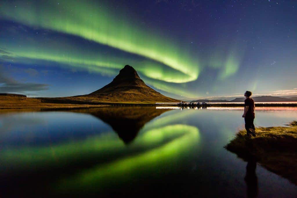
Planując wycieczkę po Islandii zimą, nie zapomnij dodać do niej opcji polowania na zorzę polarną. Wyspa jest idealnym miejscem do jej podziwiania i co roku przyciąga podróżnych z całego świata. Dołącz do nas w podróży, którą zapamiętasz na długo!
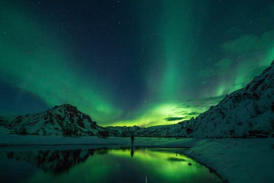
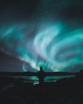
Niebo na półkuli północnej ma tendencję do tworzenia pięknych zielonych, fioletowych, białych, czerwonych i żółtych świateł znanych jako Aurora Borealis lub zorza polarna. Dzieje się tak z pewną pomocą słońca, gdzie wiatry słoneczne odgrywają dużą rolę.
Zorza polarna, nazywana czasami światłami polarnymi, porusza się z prędkością do 8 milionów km / h (1 milion mph). Najbardziej znanym kolorem tych pięknych świateł jest zielony, ale czasami pojawiają się również odcienie żółtego, różowego, czerwonego, fioletowego i białego. To za każdym razem spektakularny widok.
Najlepszą porą na zobaczenie zielonej zorzy polarnej jest wieczór, więc rozpoczniemy polowanie dość późno. Wycieczka startuje w wybranym przez Ciebie miejscu w stolicy. Jeśli Twój hotel leży poza stolicą, nie martw się! Oferujemy również odbiór z innych miejsc za niewielką opłatą. Możesz dodać tę opcję do swojej wycieczki podczas procesu rezerwacji.
Możesz również wybrać pomiędzy różnymi godzinami odbioru. Jeśli podróżujesz z dziećmi, polecamy wcześniejsze przedziały czasowe, ponieważ późniejsze wyjazdy mogą być trudne dla najmłodszych uczestników.
Będziemy sugerować się warunkami pogodowymi w dniu wycieczki i wybierzemy trasę, która stanowi najlepszą szansę na zobaczenie zorzy polarnej. Doświadczony przewodnik na bieżąco sprawdza raporty islandzkiego biura meteorologicznego i na tej podstawie ustala porządek wycieczki.
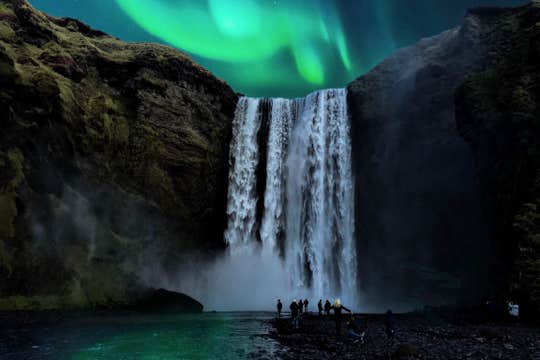
Ponieważ polowanie na zorzę polarną jest czynnością zimową, proponujemy ubrać się w zależności od pogody. Na Islandii może być bardzo zimno, zwłaszcza w nocy. Ciepłe zimowe ubrania i dobre buty są koniecznością. Zatrzymamy się w któryś z wyjątkowych miejsc, gdzie w spokoju będziesz podziwiać nie tylko zorzę, ale i piękną przyrodę Islandii.
Oferujemy wysoki standard i profesjonalizm oraz za każdym razem staramy się, aby Twoja podróż po Islandii była spełnieniem marzeń. Więc nie wahaj się, rusz z nami na niesamowitą przygodę, aby polować na zorzę polarną. Sprawdź dostępność tej wycieczki, wybierając datę.


