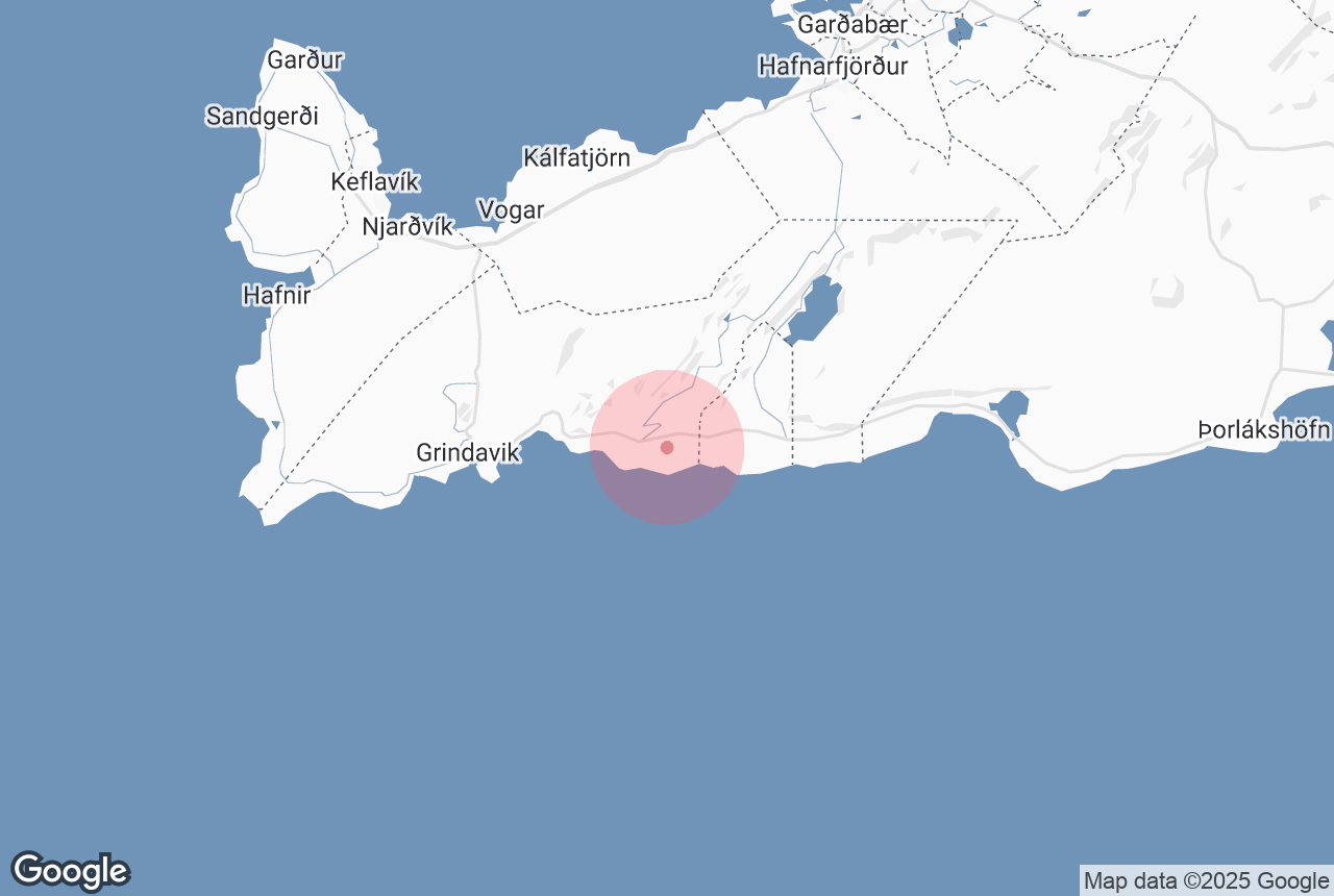

Ögmundarhraun is a lava field on the southern side of the Reykjanes Peninsula, which was formed by an enormous lava flow during an eruption in 1151 AD.
Explore this area on a self drive tour in Iceland.
Why You Can Trust Our Content
Guide to Iceland is the most trusted travel platform in Iceland, helping millions of visitors each year. All our content is written and reviewed by local experts who are deeply familiar with Iceland. You can count on us for accurate, up-to-date, and trustworthy travel advice.
Photo from Wikimedia, Creative Commons, by Alexander Grebenkov. No edits made.
When Ögmundarhraun was still a burning liquid, it incinerated farms and houses in the area. It remains possible, however, to see some of the remains from the destruction, particularly near the beach Selatangar, a haunted and long-since abandoned fishing outpost.
This lava field can be found between the popular Krýsuvík geothermal area and the abandoned farm Ísólfsskáli. Its name originates from the Icelandic male name, Ögmundur.


