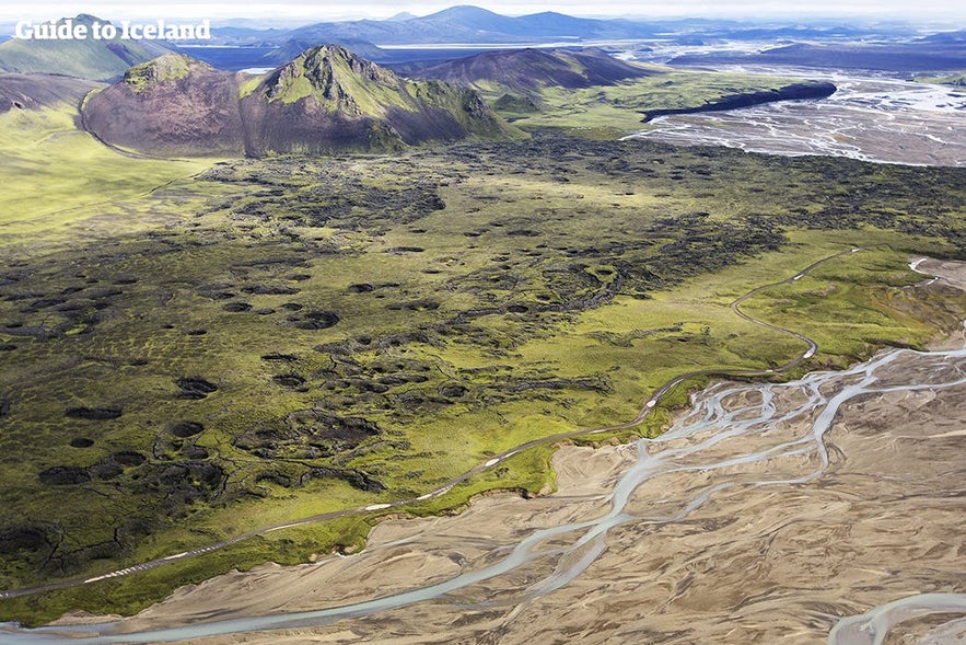
Uxatindar is a mountain peak in the Southern Highlands which stands 642 metres above sea level. It is green with moss throughout summer and is surrounded by rivers, black sand deserts, grassland and other mountains.
Explore this area on a self drive tour in Iceland.
Why You Can Trust Our Content
Guide to Iceland is the most trusted travel platform in Iceland, helping millions of visitors each year. All our content is written and reviewed by local experts who are deeply familiar with Iceland. You can count on us for accurate, up-to-date, and trustworthy travel advice.
Located in a very remote area, Uxatindar is usually only visited on multiday highland hikes. It is surrounded by dramatic features such as the plunging canyon Hvanngil, the lava fields of Skælingar and the river Skaftá. It is part of Vatnajökull National Park, and from it, visitors can attain great views of Europe's largest glacier.
Uxatindar is on Route F235, meaning it can only be reached in summer in a 4-wheel-drive.


