
An easy Hike on Mt. Meyjarsæti and Lake Sandkluftavatn in South Iceland


Mt. Meyjarsæti is not a tall nor big mountain, only 237 meters, and Landmælingar Íslands - the National Land Survey of Iceland refers to Meyjarsæti as a hill, but I'd like to think that I was hiking on a small mountain :)
Top photo: Mt. Meyjarsæti

Mt. Meyjarsæti and Hofmannaflöt plains
This small mountain is an old beautifully shaped volcanic neck that is often overlooked by visitors.
That is why I want to tell you about this area, as some very interesting events are said to have taken place here, which gave a name to the mountain and the plains.
Here the big troll games supposedly took place, where the half-trolls and the strongest men of Iceland competed against each other to find out who was the strongest man in Iceland.
 Here you can see how close to each other Mt. Ármannsfell and Mt. Meyjarsæti are
Such a title is still sought after in my country and we have annual competitions to find out who is the strongest man in Iceland. And Iceland has even held the title of the strongest man in the world.
In my last travel-blog I told you about Ármann in Mt. Ármannsfell and the Troll Games on Hofmannaflöt Plains in South Iceland.
The story is told in a latter time saga called Ármannssaga hin yngri, which tells us about the half-troll Ármann, the protector of this area.
 The rocky top of Mt. Meyjarsæti
When we can connect a story to the landscape and the place names, it becomes much more interesting and alive, in my opinion.
In Þjóðsögur Jóns Árnasonar - the Collection of Icelandic Folklore by Jón Árnason, Jón mentions that women sat on Mt. Meyjarsæti - Maiden's Seat and watched the troll games on the Hofmannaflöt grassy plain (Volume II, page 122).
 Hofmannaflöt plains and Mt. Fremra-Mjóafell
Ármann had held a party, where the guests were arguing about who was the strongest man in Iceland, and it was decided to invite all the half-trolls and the strongest men in all of Iceland, to find out who in fact was the strongest of them all.
Ármann organized games on the Hofmannaflöt plains, which was his turf, as he lived in a cave in Mt. Ármannsfell. This event is said to have taken place around the settlement of Iceland when Ármann had been for 20 years in Iceland.

Hiking to Mt. Meyjarsæti
And that is how Hofmannaflöt plains got its name. The protector of the Snæfellsnes peninsula, Bárður Snæfellsás, was a relative of Ármann and was in charge of the games with him.
He said as he ended the games:
"This gathering will be remembered, and I believe that nowhere else has such a handsome group of boys or energetic champions gathered.
And this field, where we have met, shall be named Hofmannaflötur plains. And they shall remember that we met here".

Hiking alongside Mt. Meyjarsæti
My grandparents owned a summer cottage at Þingvellir when I was little and when we had picnics and picked berries by Hofmannaflöt plains they would tell me stories about Mt. Meyjarsæti and the battle of the trolls on Hofmannaflöt plains.
So this story is passed on from generation to generation. And if you read Icelandic then you can read it by yourself here Ármanns saga hin yngri. 
The rocky slopes of Mt. Meyjarsæti
Ármanns saga hin yngri (the younger one) was most likely written by Halldór Jakobsson in the 18th century. It tells us about events that took place at the same time as the 42 old sagas happened, but we don't have an old Ármanns saga.
The old Icelandic sagas were written in the 13th and 14th centuries and tell us about the life of the settlers and the second and third generations living in Iceland.
Many sagas were lost though, which is a great loss, and I feel the loss when f.ex. reading the Heiðarvíga saga, parts of which are lost forever.
 A Moomin elf on top of Mt. Meyjarsæti :)
So I often think about how many invaluable sagas were lost and am very grateful for the sagas which were preserved. I have read them all and love visiting the areas in Iceland where the sagas took place.
Let's presume that Ármanns saga happened as it adds greatly to the experience of visiting Hofmannaflöt plains and Mt. Meyjarsæti. And it is most likely that it is based on old events.
I hiked on Mt. Meyjarsæti with my friend, but hiking on this pretty mountain had been on my agenda since I was a little girl.

You can see my neighbours to the right in the photo leaving the mountain
While hiking on Mt. Meyjarsæti there were only 2 people around, and they turned out to be my next-door neighbours with whom I had chatted in the morning as we were both carrying cameras ready to go on adventures.
Little did we know that we were going on the same hike. And we were even carrying the same book with us on the hike 25 gönguleiðir á Þingvallasvæðinu - 25 hikes in the Þingvellir area :)

On top of Mt. Meyjarsæti - you can see the old road behind us
We followed the old and rocky road on the east side alongside the rocky slopes of Mt. Meyjarsæti.
It is easy to hike on top of Mt. Meyjarsæti as a track has been formed in the moss by previous visitors.
It is a scar in the moss, which can take up to 100 years to grow. And this scar will not heal as people will continue to hike on Mt. Meyjarsæti, so this cannot be helped. Let's refrain from unnecessarily ruining the soft moss though.
 The path is a scar in the moss
On top of Mt. Meyjarsæti, it is so rocky that it is next to impossible to sit down without having a cushion as gray basalt covers the top.
It is so rocky that it was even difficult just to walk on top of Mt. Meyjarsæti.
If the maidens in the olden days sat on top of the mountain then I bet that they carried a cushion with them. Or they sat on the slope, which makes more sense, but as I passed the side of Mt. Meyjarsæti I noticed that the slope is quite rocky as well.

Gray basalt covers the top of Mt. Meyjarsæti and 2 cairns have been erected on top
Ármanns saga hin yngri tells us that Þórálfur from Fell sat on the slope, as Ármann didn't want him to compete in the games as he was completely out of control. So he was banned from the games, much to his dismay.
His son, Þórir, and his grandson Bergþór from Bláfell who was only 10 years old at the time, competed in the games, but poor Þórálfur had to stay put.
Until another half-troll also named Þórálfur approached him and taunted him and ended up dragging him onto the Hofmannaflöt plains where they fought with extreme force.

The view from Mt. Meyjarsæti to the northeast, Mt. Innra-Mjóafell, and Draugaháls, and many more
The shape of Mt. Meyjarsæti looks like a seat, i.e. it looks like there is a seat on top of it. But once you reach the top it is just rocks and more rocks.
The view from the top is beautiful, to the east you can see Mt. Innra-Mjóafell, and to the north Goðaskarð.
I must confess that I was not quite sure which mountains I was looking at as there were so many.
 The rocky top of Mt. Meyjarsæti looking northwest - for a moment the black cloud moved
There was a really dark cloud that lingered for the longest time when we were enjoying the view, so it affected my photos.
As the light was so bad for taking photos I don't have a decent photo of the southern view from Mt. Meyjarsæti, which f.ex. shows Mt. Hrafnabjörg, where Ármann worked on a farm guarding sheep before he settled in Mt. Ármannsfell.
My father-in-law designed the view-dial at Uxahryggir
I will go back with the Peak lens app, or my father-in-law, who is an expert in finding out the names of the mountains as he is the designer of view-dials in Iceland, which show the names and heights of the surrounding mountains.
When you stand on top of Mt. Meyjarsæti, you can see the road on both sides of the mountain pass Sandkluftir, the old road to the right, and the new road which cuts into the east side of Mt. Ármannsfell to the left.

The newer road on the west side cuts into Mt. Ármannsfell
After taking in the view for a while, we followed the old road to Lake Sandkluftavatn, which almost disappears in the summertime as it almost dries up.
The first car driving to Kaldidalur valley (Cold Valley) drove here through Kluftir (Sandkluftir) in 1927. And for some time this was the only road between the south, north, and west. Times have changed for sure. 
The old road through Sandkluftir as seen from the top of Mt. Meyjarsæti
There was a problem though as this road often got blocked by heaps of sand.
Sometimes the sandstorm got so bad that people would have to leave their cars behind and seek help at Þingvellir. And the paint of the car and the car itself could get ruined by the sand.
I once got caught in a sandstorm at Sólheimasandur in South Iceland and I can tell you that it is no fun, and I would not want to be outside in a sandstorm.
 Uxahryggjavegur no 52
I read in NAT - Hofmannaflöt that in the spring thaw, a relatively deep pond is formed on the plains. And that many travellers coming from Kaldidalur valley lost their cars through the ice on the pond.
The new road was moved west closer to Mt. Ármannsfell and is in its slopes as you can see in my photos, as the old road east of Mt. Meyjarsæti and Lake Sandkluftavatn was so often filled with sand.
 Road signs for road number 52 and road number 550
The name of Kaldadalsvegur road no 550, from Þingvellir (road 36) to Lake Brunnavatn, was changed to Uxahryggjavegur road no 52 (Vegagerðin).
This road no 52 will take you all the way to Borgarfjörður via Lundarreykjadalur valley, whereas Kaldadalsvegur road 550 is a highland track. Kaldidalur means Cold valley.
This gravel road is a slow road where you will drive by glaciers and end up in Húsafell.
 The road 550 Kaldadalsvegur starts here
A part of the reason why Vegagerðin - the Road Administration of Iceland changed the name and number of this road is so that foreign travellers would not get lost on Kaldadalsvegur road 550, and know where to turn for Borgarfjörður via Uxahryggir.
I have heard several stories about foreign travellers being lost in this area, asking for directions on how to return from the bad road Kaldadalsvegur. Uxahryggjavegur no 52 cuts into Mt. Ármannsfell
After our hike on Mt. Meyjarsæti, my friend and I carried on driving on road 52 and went to Lundarreykjadalur valley and had a dip in a hot pool there.
Remember Bárður Snæfellsás's son-in-law, the Chieftain Oddur in Tunga, who accompanied him to the games on the Hofmannaflöt plains, he lived in Tunga in Lundarreykjadalur valley.
I have written another travel-blog about what there is to see and do in Lundarreykjadalur valley:
Lundarreykjadalur Valley in West Iceland - the Natural Hot Pools Krosslaug and Englandshver

Lake Sandkluftavatn and Mt. Ármannsfell
Now, on with the hike after this detour. There is only a short hike from Mt. Meyjarsæti to Lake Sandkluftavatn.
This lake almost disappears in periods of drought during the summertime but looked quite lovely on our August hike, a bit shallow though and we could see that it had dried up a bit.
We could see sand heaps east of Lake Sandkluftavatn where the old road would have been earlier. Now it was nowhere to be seen.

Lake Sandkluftavatn as seen from the main road
We could have hiked in a circle by the lake and finished our hike on the other side of Mt. Meyjarsæti, but I wanted to go back the same way and see Mt. Meyjarsæti and Hofmannaflöt plains in a different light.
Mt. Meyjarsæti looked quite different on the reverse hike. I zoomed in on it and with this black cloud casting a dark shadow upon it, it looked like a habitation of trolls. Which made me think of the troll games again.

I zoomed in on Mt. Meyjarsæti on our way back to the car
But it was not only during the troll games that women would sit on Mt. Meyjarsæti and admire the men.
I am sure that on these plains there were other games with maidens/women watching.
As through here was the thoroughfare from the north, the east, and the west. The people from the east arrived via the Eyfirðingavegur road south of Mt. Skjaldbreið. The people from the west arrived via Uxahryggir and the people from the north arrived via Kaldidalur valley.
 Þingvellir national park - Mt. Ármannsfell is to the right above the waterfilled fissure
People were coming from these 3 directions of Iceland to attend Alþingi. They would meet up and catch up at Hofmannaflöt plains before entering Alþingi at Þingvellir, which convened for 2 weeks in June from 930-1798 when it was moved to Reykjavík.
At Alþingi people from all over Iceland would meet up and disputes were settled, fines were paid, duels took place, and marriages were arranged, f.ex. the ill-fated marriage of Gunnar at Hlíðarendi and Hallgerður langbrók from Njálssaga - the Saga of Burn Njáll, the queen of the Icelandic sagas.
 There was still a cloud on Mt. Meyjarsæti when we left - it just stayed there, very frustrating
What I missed photographing, as I only read about it afterward, is an ancient protected part of a road on the south side of the old road, which we stepped on, on our hike.
I remember thinking how convenient this was, having stepping stones like this on the rocky old road. I must go back to photograph them.
The hike was all in all around 7 km, a lovely easy hike, a little rocky though, so wear good hiking shoes.
 I zoomed in on the straight road leading to our car
A straight road leads through the Hofmannaflöt grassy plain to the car. Can you see the gate in my photo above?
This gate acts as a sheep disease prevention and it is very important to close it behind you when you go on the hike and when you return to the car.
If we don't disasters can happen like scrapies spreading, which will result in a whole flock of sheep having to be put down.
 Sheep disease prevention - close the gate
And there are many such occurrences, which are devastating both for the sheep and the farmer. So let's be extra careful and always close the gates.
As I mentioned earlier then I am sure that most travellers pass Hofmannaflöt plains and Mt. Meyjarsæti without giving them a second glance.
Since the road was moved west of Mt. Meyjarsæti this beautiful area was kind of cut off, so to speak.

The road sign by Mt. Meyjarsæti
I hope that my 2 travel-blogs about Ármann in Mt. Ármannsfell and the troll games on Hofmannaflöt plains, and the hike on Mt. Meyjarsæti will spark your interest in this area.
And maybe you will stop here and go on a hike yourself, or just walk to the plains and imagine the big troll games on the Hofmannaflöt plains.
Here is the location of Mt. Meyjarsæti on Google maps. Mt. Meyjarsæti is wrongly marked though, but if you zoom in you can see the top of Mt. Meyjarsæti and the two roads on each side of it.
Have a lovely time in Iceland :)
Sources:


Other interesting blogs

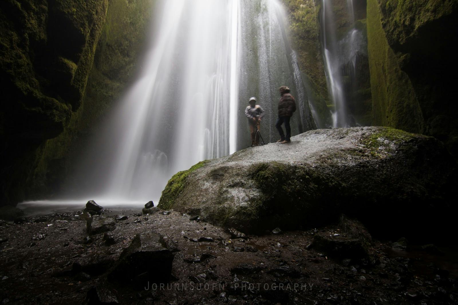
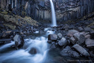
Chasing Waterfalls in Iceland
Iceland is spectacular in so many ways and Icelandic nature is quite unique with its vast landscape, volcanic activity, geothermal areas, glacier lagoons and sceneries, black sand beaches and spectLäs merSænautasel Turf House in the Highland of Iceland
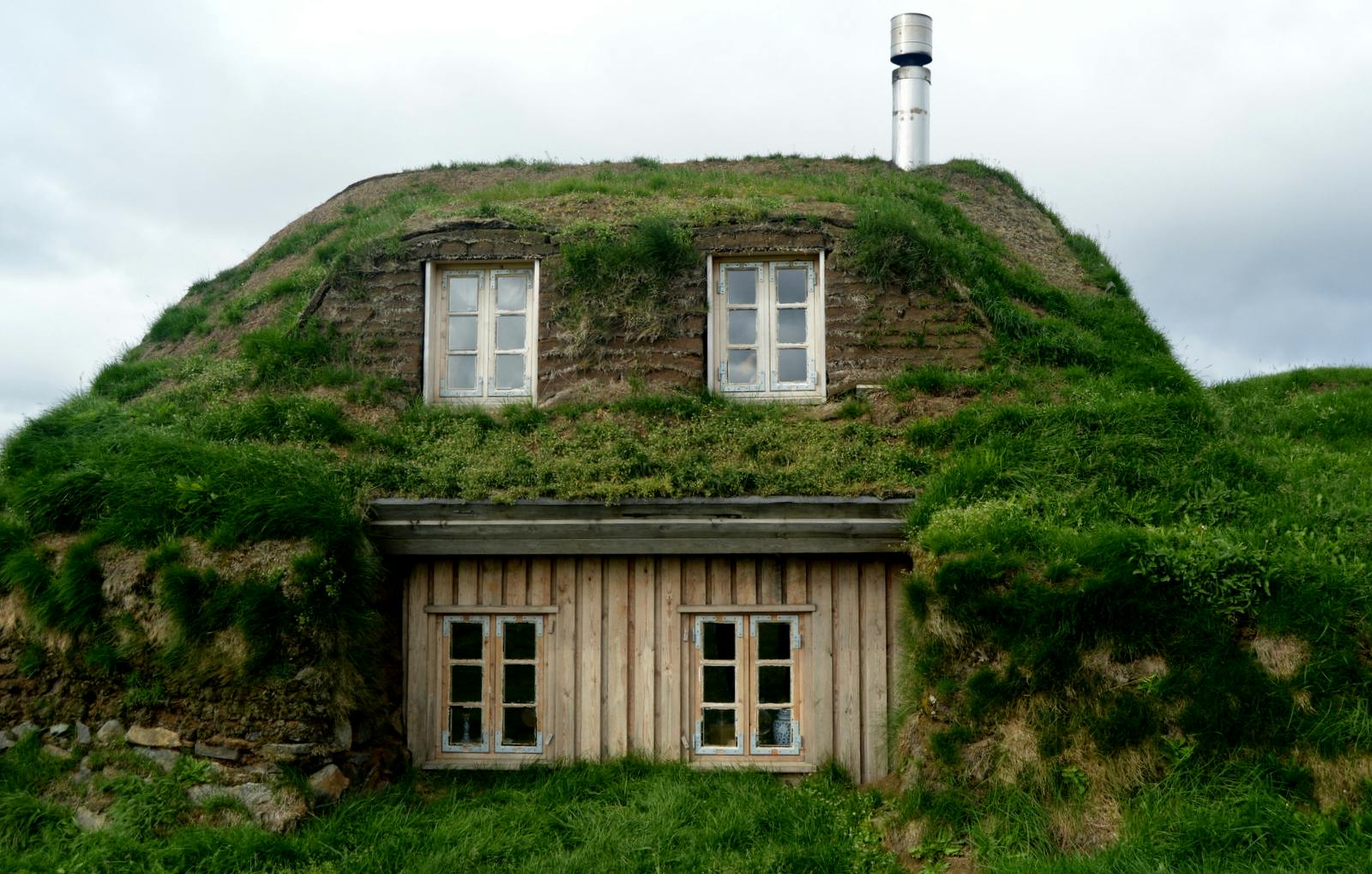
In my search for turf houses around Iceland, I visited Sænautasel, which is a rebuilt turf house on Jökuldalsheiði heath in the highland of Iceland. It is, in my opinion, an extremely cute turf hoLäs merThe Dynamic Plant Lupine
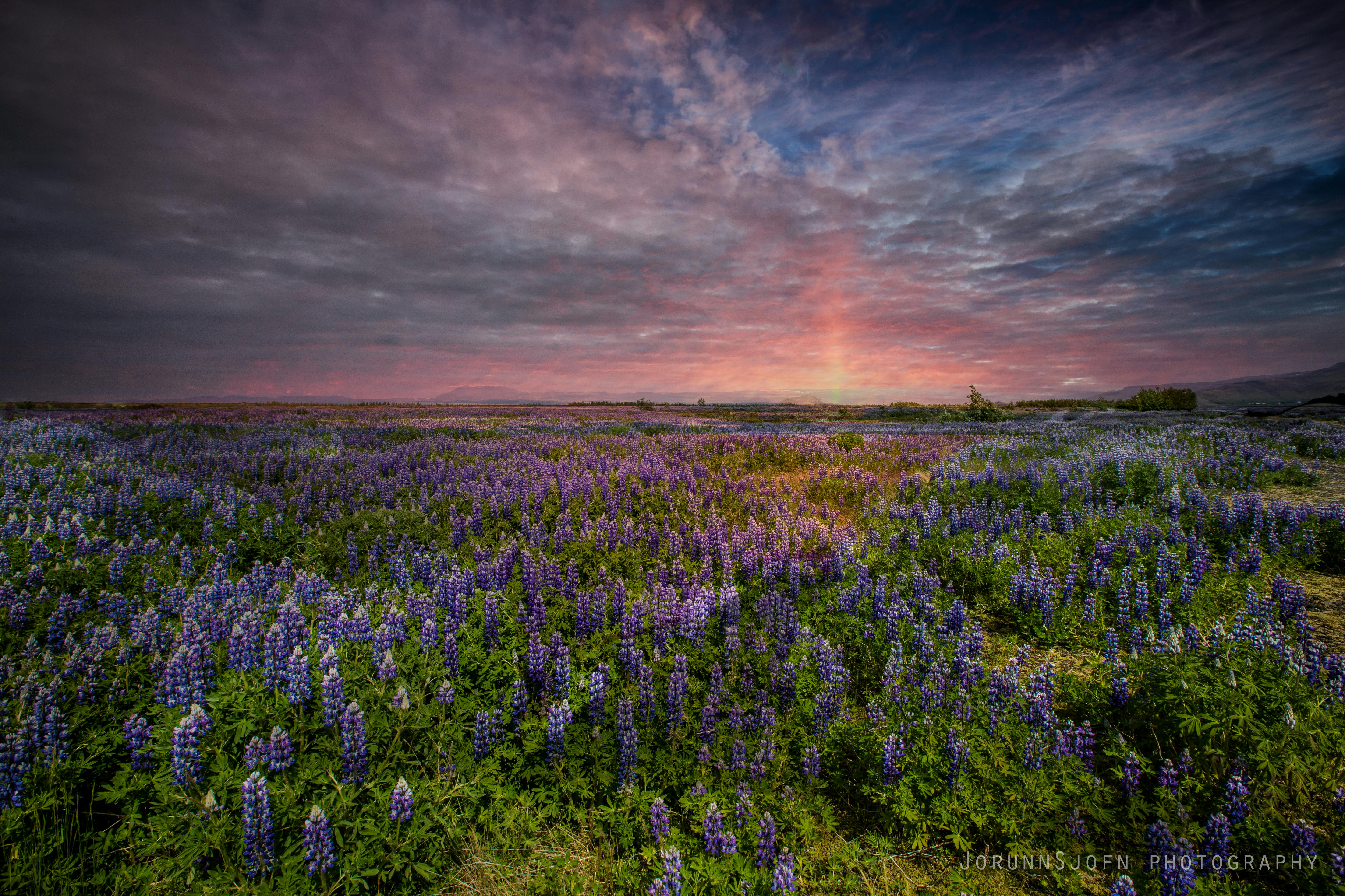
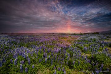
People have been asking me where to find lupines in Iceland. If you like them you should be able to find them easily in Iceland in summer. They are in bloom and visible almost wherever you drive aroLäs mer


Ladda ner Islands största resemarknad till din telefon och hantera hela resan på ett och samma ställe
Skanna QR-koden med telefonkameran och tryck på länken som visas så får du tillgång till Islands största resemarknad. Ange ditt telefonnummer eller din e-postadress om du vill få ett SMS eller e-postmeddelande med nedladdningslänken.


