
Katla is one of Iceland’s most explosive volcanoes, located underneath Iceland’s fourth largest ice cap, Mýrdalsjökull. Since settlement, it has erupted, on average, once every fifty years, with the last eruption in 1918. It is long overdue.
Explore this and more on a self drive tour in Iceland.
Dlaczego warto zaufać naszym treściom
Guide to Iceland to najbardziej zaufana platforma podróżnicza na Islandii, pomagająca milionom turystów każdego roku. Wszystkie nasze treści są pisane i recenzowane przez lokalnych ekspertów, którzy doskonale znają Islandię. Możesz polegać na nas, otrzymując dokładne, aktualne i wiarygodne porady podróżnicze.
Katla is connected to Eyjafjallajökull, which erupted in 2010 and caused widespread disruption to air traffic, as well as changes in climate. Usually, Katla is triggered by an eruption here, usually going off within the decade afterwards. Kristín Jónsdóttir said in 2016 that it was ‘a matter of when, not if’ Iceland would face the wrath of Katla once more.
Katla means ‘Kettle’ in Icelandic, and many women are named after the volcano with it being one of the more popular girl’s names.
Geography and geology of Katla
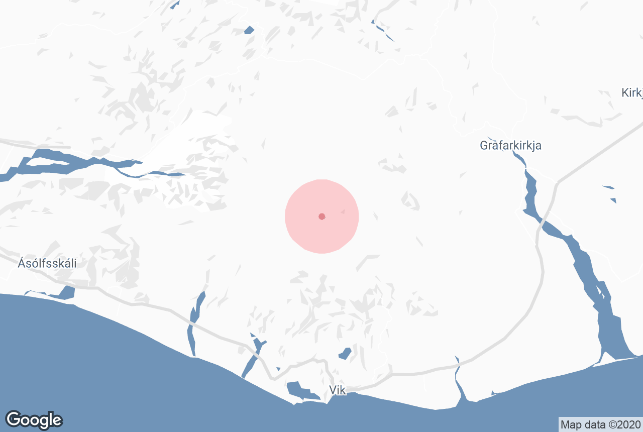
Katla is located on Iceland’s South Coast, north of the village of Vík. Its peak is 1,512 metres (4,961 feet) above sea level, and its crater is 10 kilometres (6.2 miles) wide. The ice of Mýrdalsjökull is, 700 metres (2,300 feet) thick at certain points over it.
Because of this huge amount of ice, some smaller eruptions do not even break the surface. However, even these can be very dangerous, as they can still cause unexpected floods as the melted water seeps from under the glacier. One only needs to see the black sand desert of Sólheimasandur to see how much life can thrive in the glacial outwash plain under Katla.

Because of the floods caused by Katla, Iceland’s South Coast has very few settlements. Floods such as these have wiped out entire villages before.
The floods following the 1918 eruption were particularly powerful, clearing away huge swathes of land. The lava that followed, however, was so voluminous that it extended the southern coastline over five kilometres (eight miles) out to sea.
Though Eyjafjallajökull and Katla have a relationship of exploding in quick succession, they are part of different volcanic systems. Katla’s system has an area of 595 square kilometres (230 square miles), and is connected to the Eldgjá canyon.
Tours on Katla
Katla is beneath the peak of Mýrdalsjökull, which is surrounded by outlet glaciers, making tours on it few and far between - after all, it is very difficult to reach. Some helicopter tours, however, will make a landing here. Some super jeep tours also take the bumpy but beautiful path to the top.
It should be noted that there are ice caves above Katla, which are accessible for longer throughout the year than the ice caves at Vatnajökull. These ones, however, do not have blue ice.
Where to see Katla
Katla can be seen from the Ring Road, which encircles Iceland, by travelling along the South Coast, so long as the weather is clear. It will be visible for much of the drive, which also takes you passed features such as the waterfall Seljalandsfoss and the black sand beach of Reynisfjara.
It can also be viewed when visiting one of the glacier tongues of Mýrdalsjökull, such as Sólheimajökull, the most popular outlet for glacier hiking.


