In this travel blog series about the Reykjanes Peninsula, I have been showing you interesting places to visit in the vast lava fields in the peninsula's southern part.
In my last travel blog, we visited the Krýsuvíkurberg cliff, Selalda ridge, and the country's coolest sheep turf and rock barn. Now, let's drive down the next gravel road from Suðurstrandarvegur and visit Selatangar, an old fishing station.
Top photo: one of the fish drying sheds at Selatangar
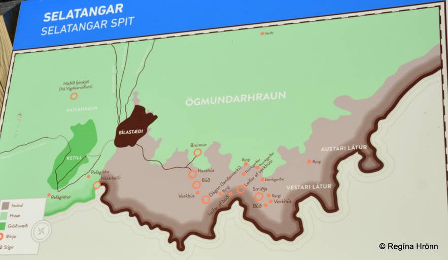 An information sign on site about Selatangar
I am writing a series of travel blogs about the Reykjanes Peninsula to make sense of this barren volcanic landscape and find places of interest, so I can warm up to this peninsula, which, in my eyes, has always been gray lava covering vast areas.
Driving along Suðurstrandarvegur, you might think it's just one big lava field stretching across the landscape. But some interesting human habitation sites lie hidden from view, and you can visit them by turning off the main road.
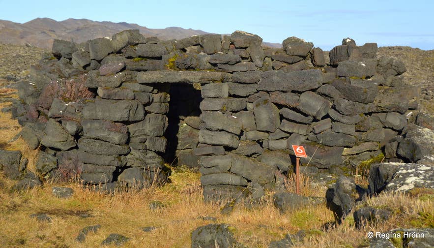
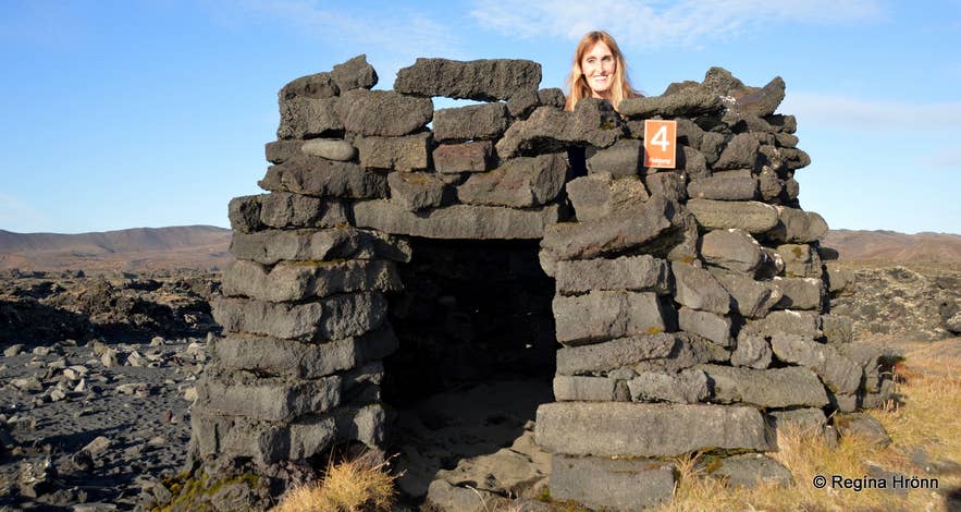
A fishing hut at Selatangar
Fishing stations dot Iceland's coastline, including large ones on the Reykjanes Peninsula and the Snæfellsnes Peninsula, which I showed in another travel blog.
At Selatangar, you can walk through the protected ruins of the old fishing station, with many structures, each marked with a different number, as shown on the information maps.
What used to be a vibrant fishing community here in the Ögmundarhraun lava field is now in ruins, abandoned in 1884.
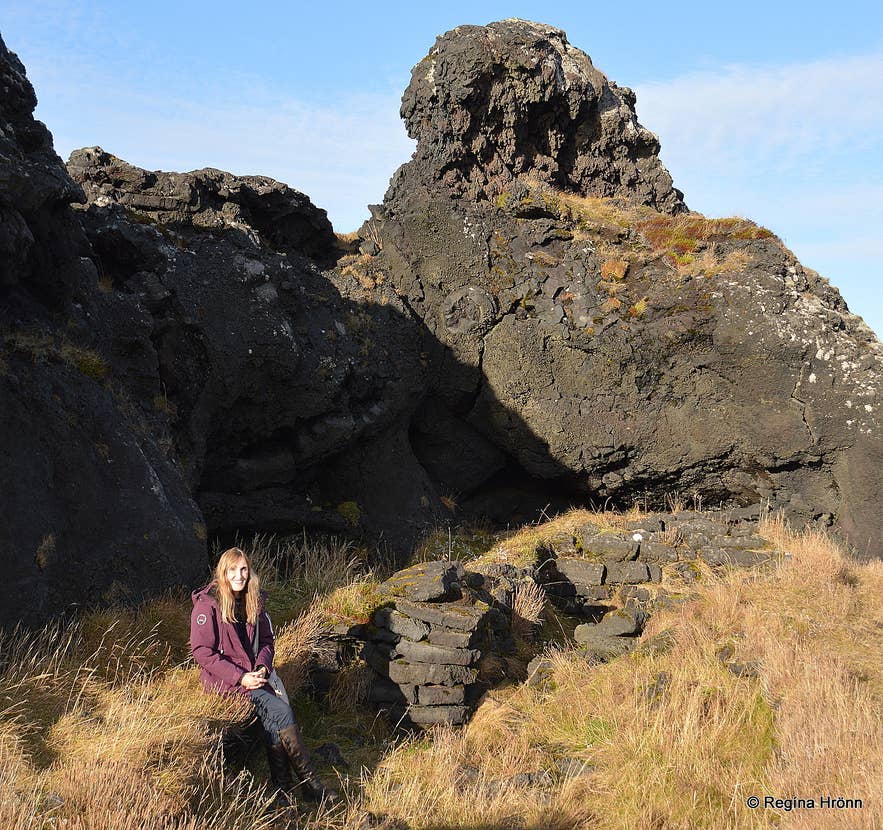
An old fisherman's hut at Selatangar
Here you will find remains of fishing huts, fish storage shelters, and fish-drying fences. It is believed that fishing at Selatangar began in the Middle Ages, about seven centuries ago.
The first mention of these fishing stations is in the Jarðabók of Árni Magnússon and Páll Vídalín (from 1702-1714).
We know the fishing huts at Selatangar are younger than the Ögmundarhraun lava field I showed you in my Húshólmi travel blog, as the structures were built from that lava.
See also: Húshólmi - a Hike to the Ancient Ruins in the middle of Ögmundarhraun Lava Field
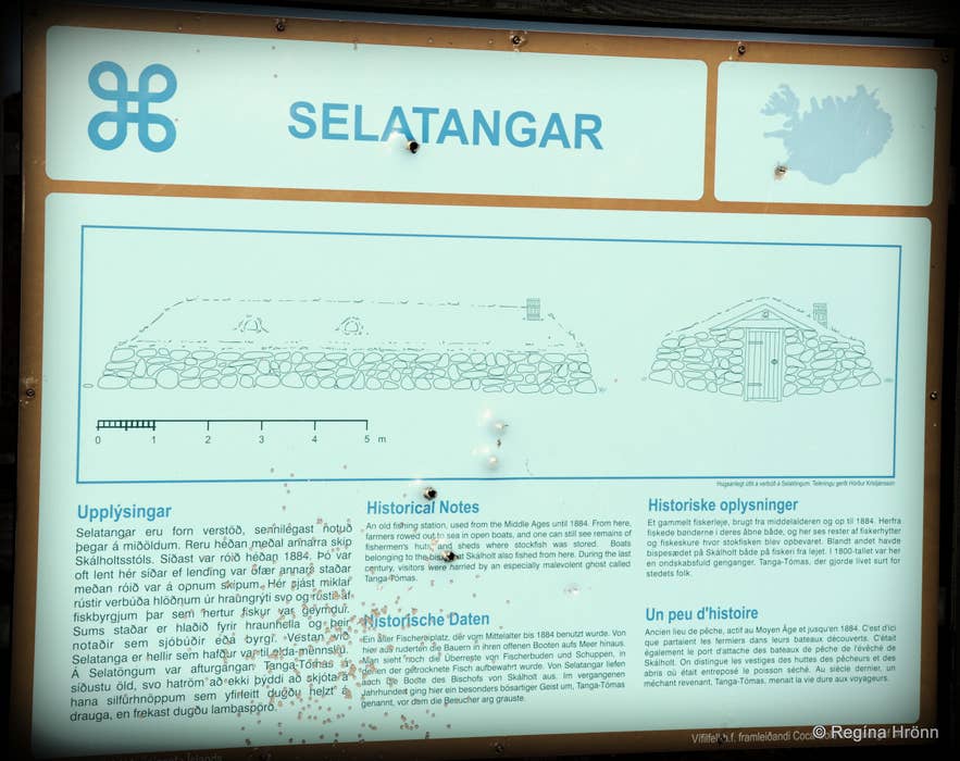 One of the information signs at Selatangar
The fishing station at Selatangar was in use until around 1884, when it was abandoned, as the commercialization of fishing brought better methods.
Here you will find some 20 ruins and fish fences. In winter, this was a vibrant community of about 100 people; just imagine that: people living and working in this harsh lava field.
And from here, the fishermen rowed out into the rough sea in open boats
The many ruins left behind speak volumes about a once-vibrant community of fishermen who worked and lived here at certain times of the year.
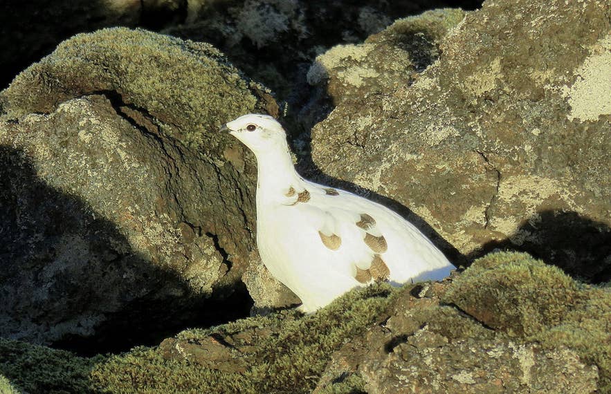 A beautiful ptarmigan peeked out from the lava rocks of Ögmundarhraun lava field.
The ruins of the fishing huts, made of lava rocks, are marked 1-8, and a small sign tells us their function. I.e., we found 8 marked ruins, but there are many more.
At Selatangar are several lava caves which were used for various functions, like Smíðahellir (Smithy Cave), Sögunarkór (Sawing Cave), with a saw inside for sawing driftwood, and Mölunarkór (Grinding Cave), with a millstone inside.
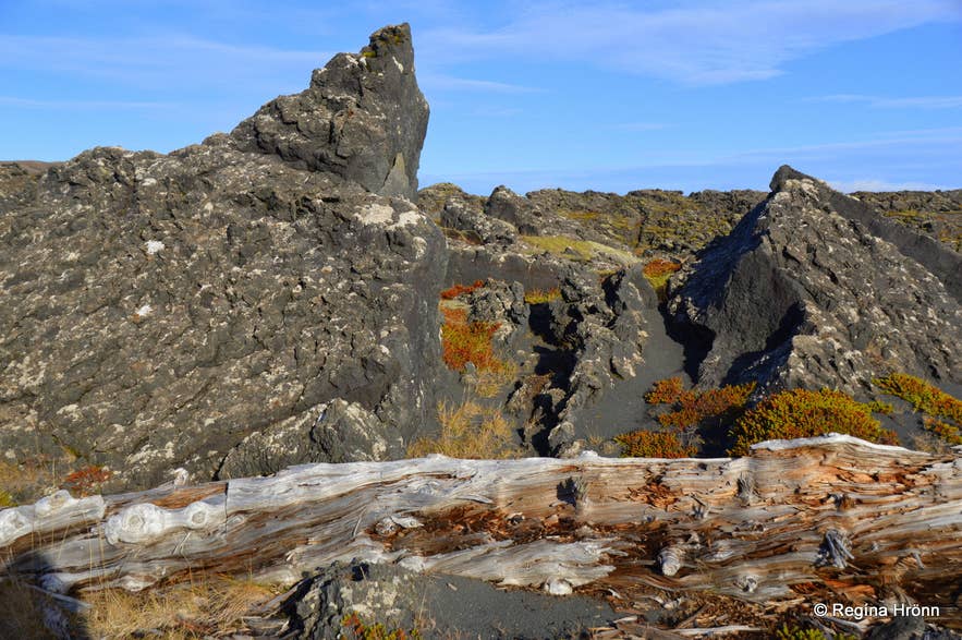
Lava and driftwood in abundance
This was a proper community with the old traditions, and people had to cook food, fetch water from the well and fuel, and empty chamber pots, much as they did on the farms.
Back then, Icelanders lived in turf houses: A List of the beautiful Icelandic Turf Houses - Torfhús - I have visited on my Travels in Iceland.
Life was so different back then, and it is hard for us to imagine how these people lived and worked in this lava field. I always shudder at the thought of how cold it must have been, and how wet it must have been at times.
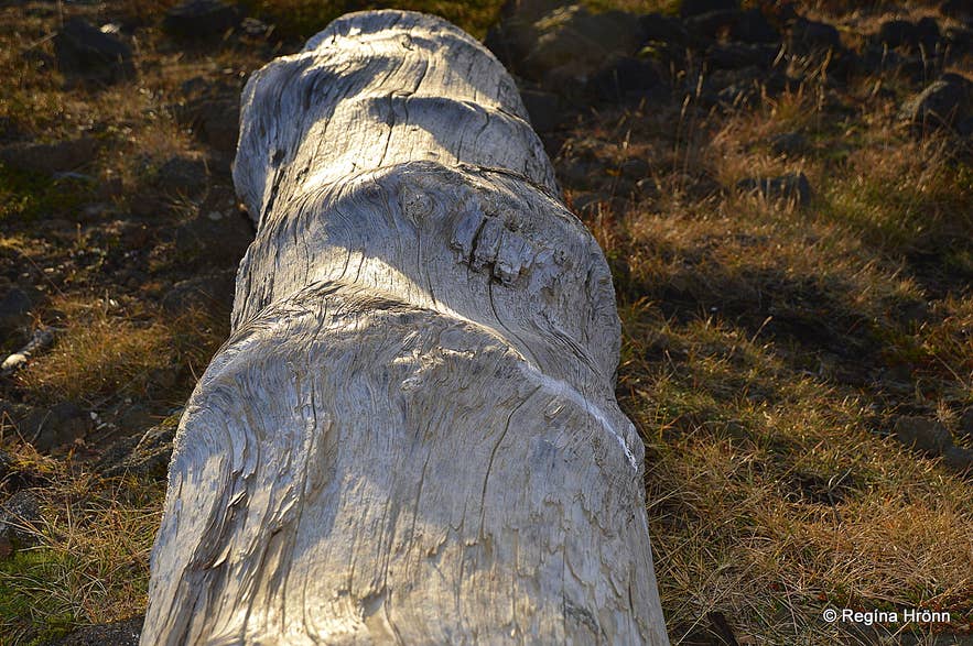
Driftwood at Selatangar - until 1920, Kálfatjarnarkirkja owned all the driftwood at Selatangar
Once ashore, they had to process and dry the fish. They flattened the fish, stacked it, and stored it inside some of the stone huts for the winter. Next spring, it was dried, packed, and sold.
The fish was spread out on walls to dry, and some of the stone huts may have been used for storing the dried fish.
Times were hard back then, and I think that people had to be much more resilient than we are today. They endured the freezing winters in these huts, which could not have been comfortable.
But people had to survive somehow, and winter fishing meant food and trade with foreign merchants, of which there were many.
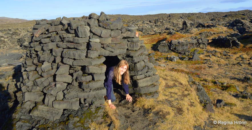
Checking out the inside of one of the fishing huts
I hope that it was ok to crawl into the fishing huts. They are protected, and it is not allowed to tamper with them in any way, nor climb on them.
Let's respect that and not add any rocks to them, and leave them as we found them.
Walking around Selatangar and seeing the ruins of the stone hovels where people stayed during the fishing season feels like stepping into the past and following in the footsteps of generations who once worked here.
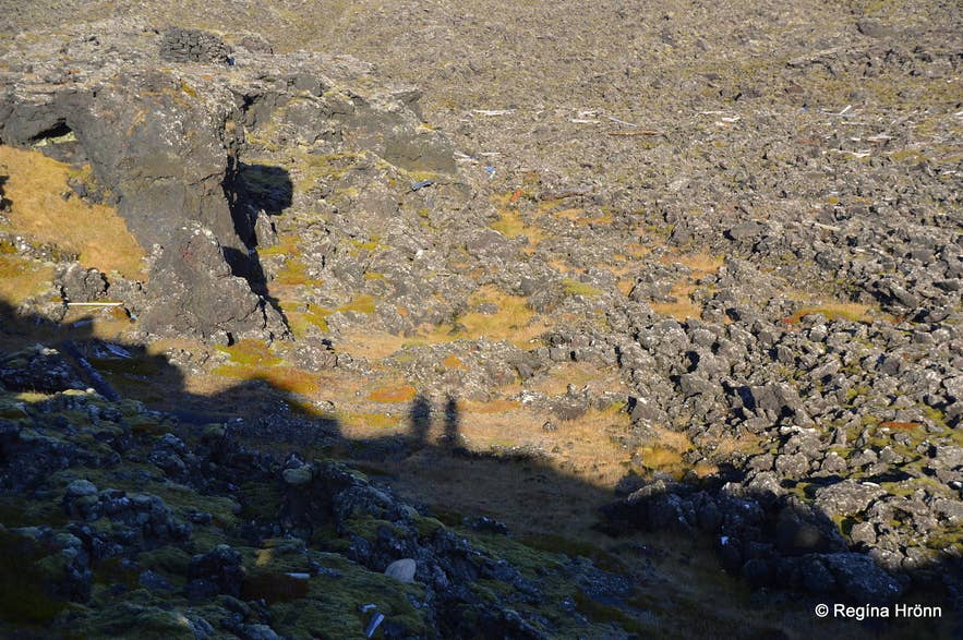
Ögmundarhraun lava field and our shadows
Walk quietly around the ruins and think about all the people who worked here. It is so quiet now, but imagine all the people and all the stories that unfolded here.
One such story I know is about the ghost Tanga-Tómas.
Tanga-Tómas - A Ghost Story from Selatangar
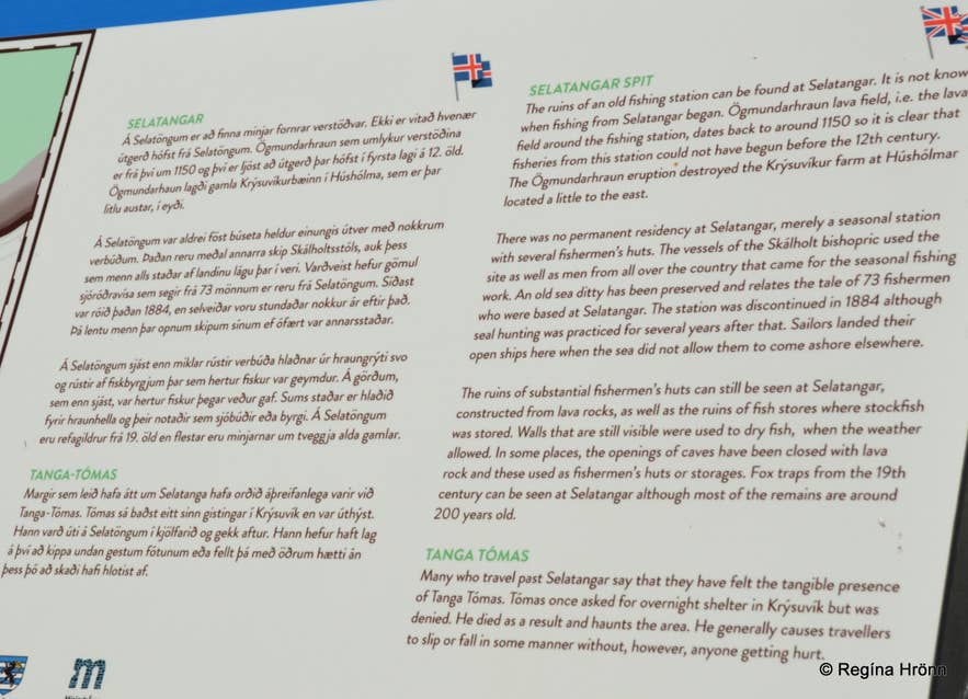
An information sign at Selatangar
Let me tell you about poor Tanga-Tómas:
"A man named Tómas once came to Krýsuvík and asked for lodging/shelter there, but he was turned away.
Tómas then left, but he died out on the Selatangar (of exposure). Tómas returned as a ghost and was always called Tanga-Tómas.
Many were troubled by his visits, especially Beinteinn Stefánsson from Hraun, for he often shot seals on the spit (tangi).
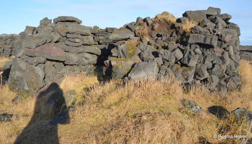
Sometimes Beinteinn shot silver buttons at the ghost, but they had no effect (this act was supposed to repel ghosts in olden times - RHR).
In return, he was startled when the ghost fired lamb-droppings at him.
The ghost often followed Beinteinn home, and Beinteinn found peace only by letting his wife sleep in front of him, because then the ghost could not come near him.
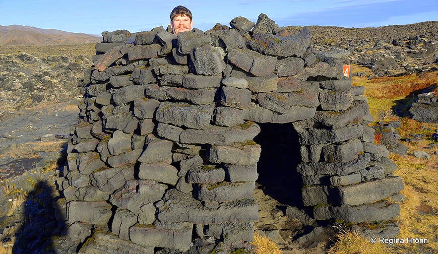
My husband inside a fishing hut
Once the ghost had entered the farm before Beinteinn. He made the sign of the cross over the door, as was the custom then, to keep the ghost out, but in this case it kept the ghost from getting out!
Tanga-Tómas was frenetic that night, and at times, the living room (baðstofan) was brightly lit by lightning flashes."
(Translated into English from Ólafur Davíðsson as told by Stefán Stefánsson from Reykjavík 1901. Rauðskinna I, pages 72-76.)
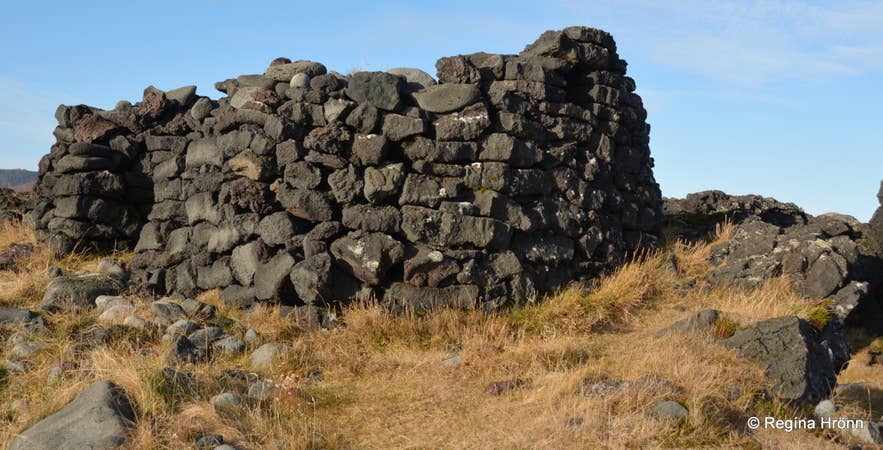
One of the fish drying huts
We fortunately didn't feel Tanga-Tómas's presence. His presence is felt in the way he makes people fall without getting hurt.
The fear of ghosts still lingers in our Icelandic genes, so we are not at ease when visiting haunted places.
Katlahraun lava field
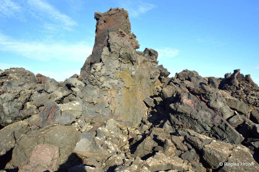
Katlahraun
After visiting Selatangar, I would recommend visiting the Katlahraun lava field (Borgir) west of Selatangar, a protected geosite within the Reykjanes UNESCO Global Geopark.
Katlahraun originated in the Moshólar craters, the southwesternmost craters in a long line of craters that extends to Trölladyngja. Remember my travel blog about Sogin and Eldborg? I read that this is how far this line of craters extends.
Selatangar ruins are in the Ögmundarhraun lava field, which flowed in 1151, but the Katlahraun lava field is older. It flowed like piping hot water some 2,000 years ago all the way down to the sea.
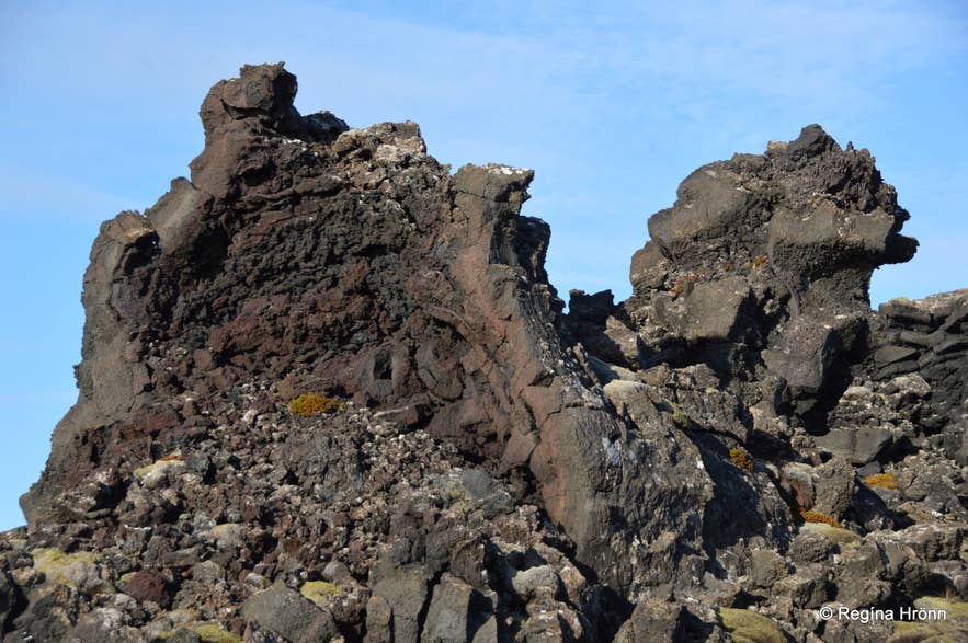
Katlahraun
The Suðurstrandarvegur road divides these 2 craters north of Katlahraun, and road construction workers used material from the craters for road construction.
You wouldn't be able to tell the difference between these lava fields when driving on the Suðurstrandarvegur road, and you might think most of it came from the same eruption.
But many eruptions occurred here over the millennia, so newer lava sits on top of older lava, which in turn might sit on even older lava.
We found that out when this area started erupting again 5 years ago (2021), with many eruptions to follow.
I flew over the volcanic eruption in a helicopter, landed on top of a mountain, and shot the video above.
Now back to Katlahraun and its encounter with the sea. It must have been a sight to see the explosions here when the piping-hot lava met the cold Atlantic Ocean.
Here, the lava piled up, and walking through this area feels like walking through an art gallery.
Why is this area called Katlahraun - the Kettle lava field? When the piping hot lava flow met the cold Atlantic Ocean in a shallow sea inlet, it boiled violently, dammed up, and formed a huge lava pond.
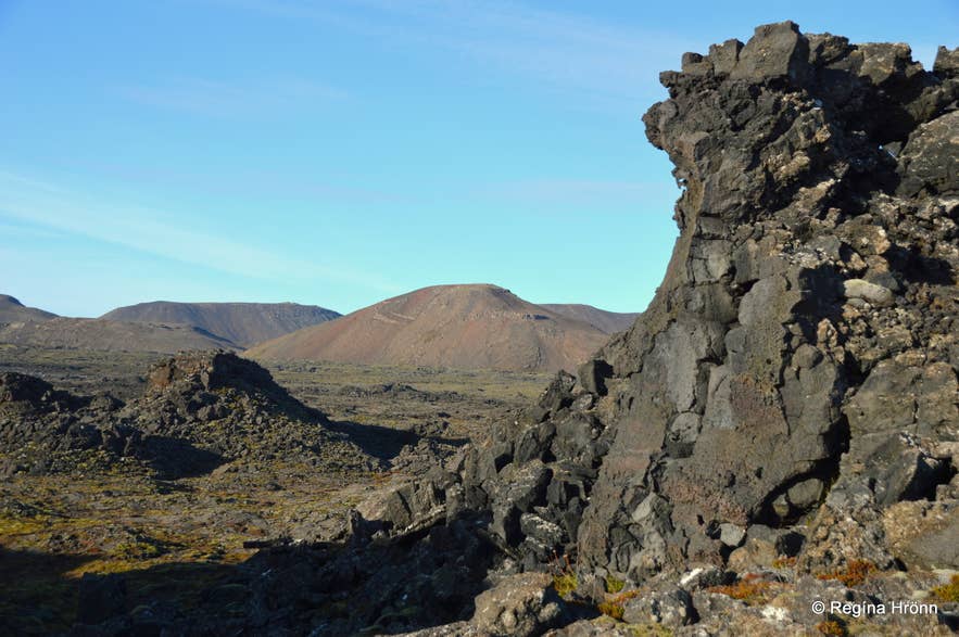
Katlahraun
The surface of the lava pond solidified, and the lava pond eventually emptied into the sea, causing the roof to collapse.
We have seen how these lava ponds form in recent volcanic eruptions. They are very dangerous, as they can suddenly burst, leaving behind a solidified kettle.
We were so worried when tourists started flocking to see the volcanic eruptions, as they didn't seem to understand the nature of lava ponds and ventured way too close to the lava flow.
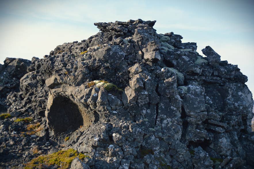 Katlahraun at dusk
It is quite interesting to visit places like this and see the strange lava formations, but only way after the volcanic eruptions stop; never venture onto new lava fields, as there might still be molten lava beneath the solidified lava.
Remember the Dimmuborgir lava field at Mývatn? You get a similar feeling walking through that amazing area up north when you visit Katlahraun, although it is on a much smaller scale than Dimmuborgir.
See also: Mývatn in North Iceland - Part II - Dimmuborgir Lava Field & the Cave of the Yule Lads
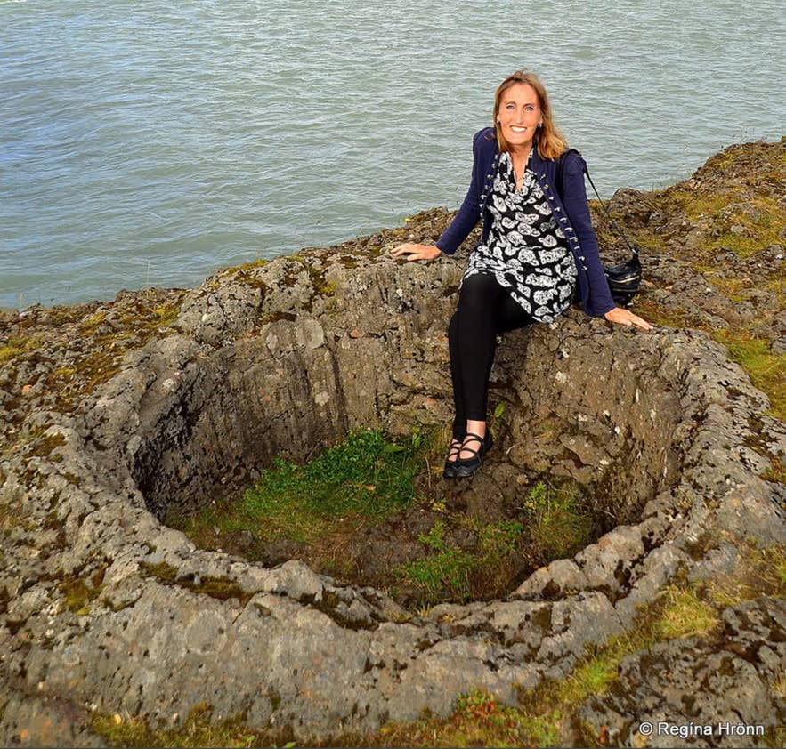 Sitting in a lava bubble by the Ölfusá river in South Iceland
I have shown you other places where solidified lava took on various forms, such as the lava bubbles beneath the bridge leading to Selfoss.
There, the lava bubbles later burst, leaving behind circular pots in which you can sit.
If you want to include a visit to Selatangar, then this area is midway between Krýsuvík and Gríndavík. Take the exit Ísólfsskálavegur and drive about 2 km to Selatangar.
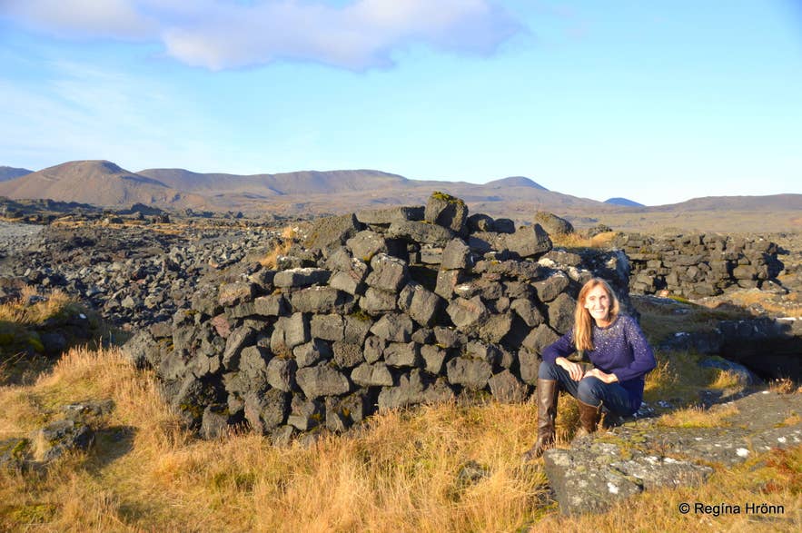 At Selatangar in the October sun
Have a lovely time on the Reykjanes Peninsula, and I hope that my series of travel blogs about the southern part of the peninsula has given you insight into some of the hidden places in this area of vast, uninviting lava fields :)
Ref:
Náttúruverndarsamtök Suðvesturlands - Katlahraun - Selatangar

Hi, my name is Regína Hrönn, and I was born and raised here in Iceland.