Descripción
Resumen
Descripción
¡Lánzate a la aventura y vive la ruta definitiva de 7 días en coche por la Ring Road de Islandia! Con este paquete de verano, perseguirás cascadas, caminarás por playas de arena negra, te darás baños en aguas termales y descubrirás paisajes épicos repletos de glaciares y volcanes.
Con un itinerario perfectamente planificado, tendrás libertad para explorar a tu ritmo. ¡Cada día es una nueva aventura!
El viaje comienza al recoger un moderno coche de alquiler en el Aeropuerto Internacional de Keflavik o en Reikiavik. Un experto agente de viajes ha diseñado su itinerario para que incluya los mejores lugares de interés en Islandia y las maravillas menos conocidas.
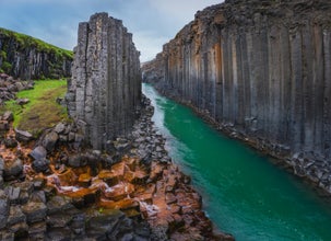
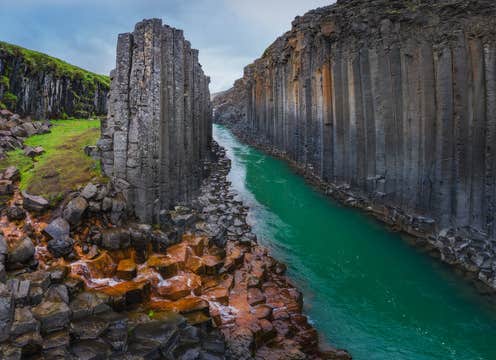
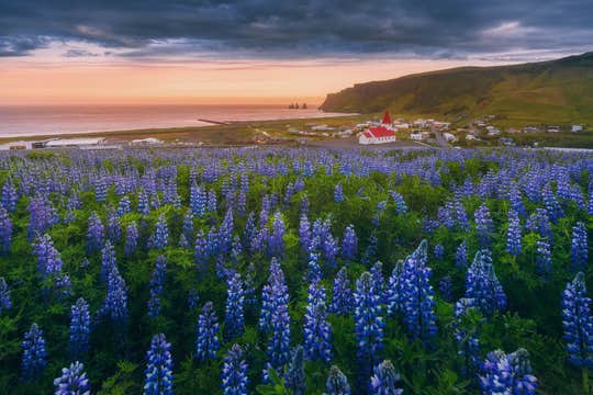
Realizar un tour a tu aire en coche durante el verano por la Ring Road (Ruta 1) de Islandia significa tener la oportunidad de disfrutar de los paisajes más impresionantes del país. Maravíllate ante la arena negra de la playa de Reynisfjara y la majestuosa cascada de Dettifoss. Además, serás testigo de increíbles parques nacionales, como el de Vatnajokull, donde se encuentra la laguna glaciar de Jokulsarlon.
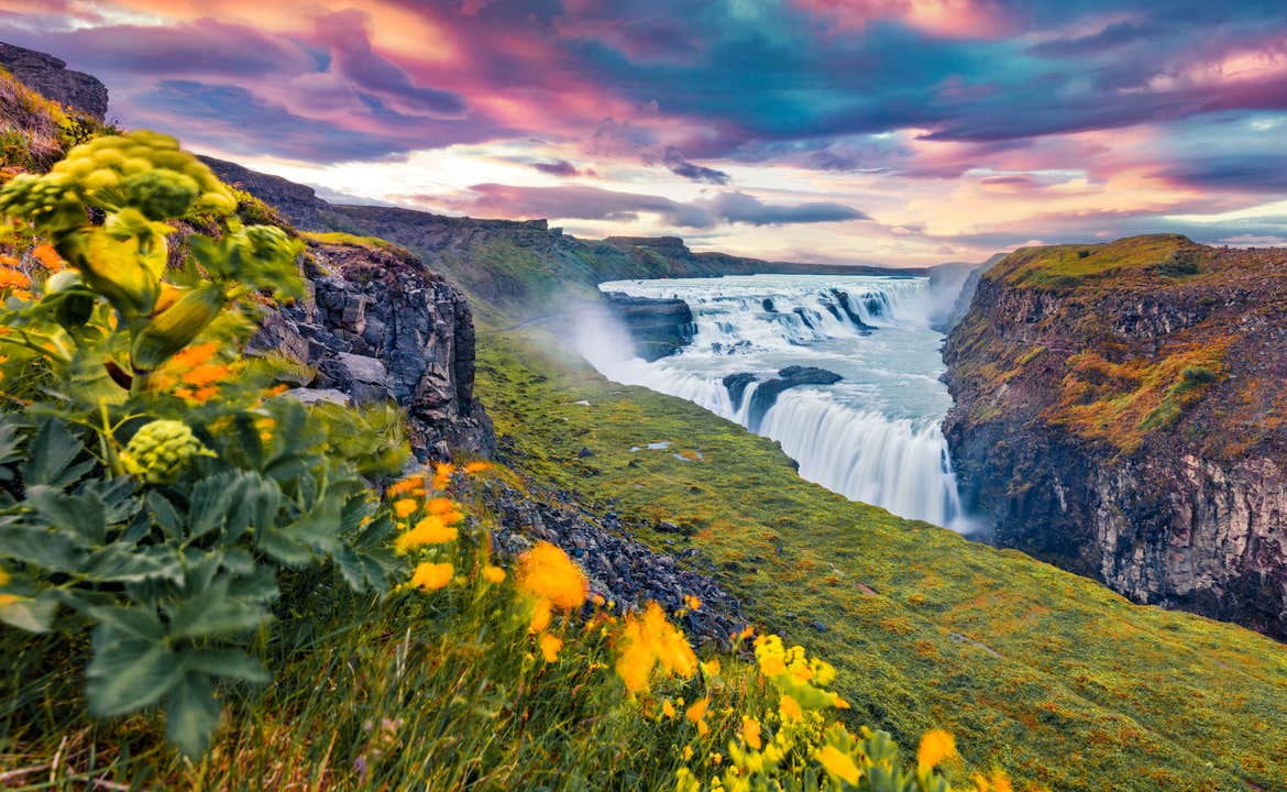
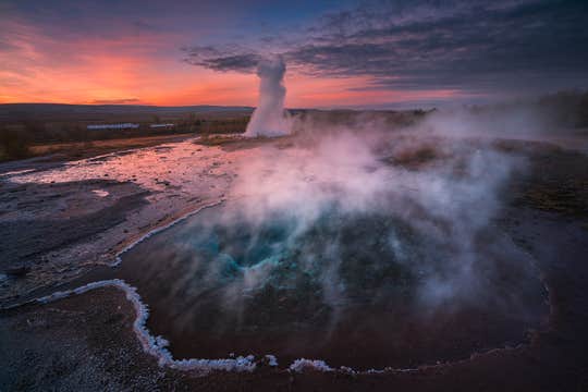
Otro punto destacado de esta ruta en coche a tu aire es el emblemático Círculo Dorado. Siente la niebla de las estruendosas cataratas de Gullfoss, presencia los explosivos estallidos de los géiseres y camina entre placas tectónicas en movimiento en el Parque Nacional de Thingvellir.
Por supuesto, tendrás la oportunidad de conocer el lado cultural de Islandia. Explora Reikiavik, con sus coloridas calles, su interesante historia vikinga y su deliciosa gastronomía.
Visita la capital del Norte, Akureyri, una agradable ciudad donde podrás desconectar y disfrutar de su encanto. Tanto si te lo tomas con calma como si tienes ganas de explorar mucho, este itinerario aprovecha al máximo los interminables días de verano de Islandia.
Este viaje de verano a tu aire en coche de 7 días por Islandia te ofrece total flexibilidad y asistencia 24 horas al día, 7 días a la semana. ¡Nos encargamos de todo desde la llegada hasta la salida! Además, puedes reservar sin preocupaciones con cancelación gratuita hasta 24 horas antes del viaje y recibir un reembolso completo.
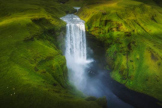
El itinerario también es totalmente personalizable después de la reserva, para que puedas adaptar el viaje a tu estilo. Disfruta de la libertad ir en carretera mientras conduces por paisajes increíbles, pasando por cascadas, volcanes, glaciares, fuentes de aguas termales y los pueblos pesqueros más bonitos de Islandia.
Asimismo, puedes mejorar tu experiencia añadiendo actividades opcionales, las mejores de su clase, a un precio inmejorable. Recorre glaciares en moto de nieve, haz senderismo por impresionantes formaciones de hielo, navega entre los relucientes icebergs de Jokulsarlon o relájate en la Blue Lagoon.
Descansa tranquilo cada noche en alojamientos cuidadosamente seleccionados por su comodidad y ubicación. Los hoteles se pueden adaptar a tu presupuesto y preferencias, con varias opciones disponibles para cada destino de su ruta.
Tras una semana épica explorando los extraordinarios paisajes y los secretos mejor guardados de Islandia, devolverás el coche de alquiler en el Aeropuerto de Keflavik o Reikiavik. Con esta ruta de 7 días por la Ring Road, excelentemente valorada, puedes olvidarte de toda la planificación mientras ahorras dinero, lo que te garantiza el mejor viaje en carretera posible.
Disfruta de todos los lugares de interés y las joyas ocultas del país con este completo recorrido, cuidadosamente planificado, de 7 días por la Ring Road de Islandia. Comprueba la disponibilidad ahora eligiendo una fecha.


