
Description
Résumé
Description
Partez à l’aventure et chassez les aurores boréales lors de ce road trip d'hiver en liberté de 10 jours sur la Route Circulaire d’Islande. Admirez des paysages à couper le souffle et découvrez tout, des merveilles naturelles célèbres aux trésors cachés loin des foules.
Pas besoin de passer des semaines à planifier votre itinéraire. Ce forfait élimine le stress de l’organisation en vous proposant un programme complet de 10 jours en hiver, conçu par des experts locaux. Voici la solution idéale pour ceux qui souhaitent explorer l’Islande à leur rythme en toute liberté.
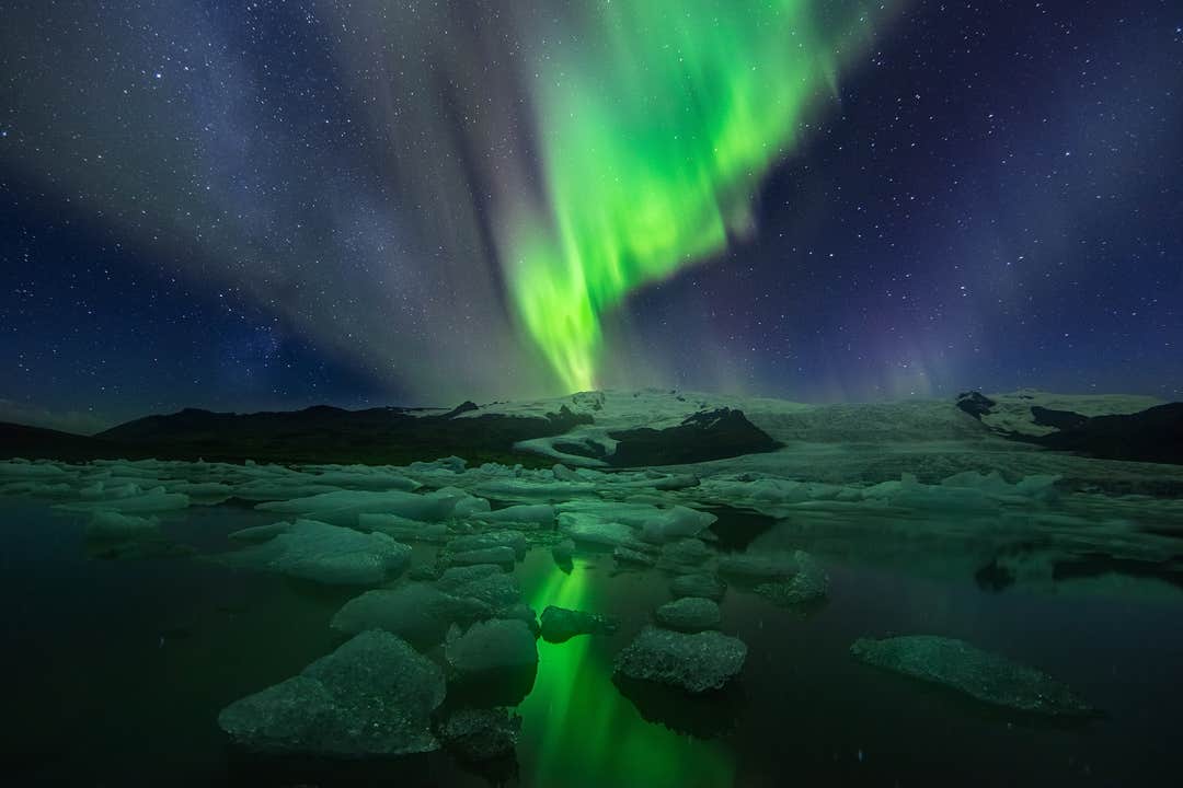
Profitez du meilleur de l’Islande, avec des sites emblématiques comme le Cercle d’Or, où vous serez émerveillés par les célèbres sources chaudes de Geysir, la puissante cascade de Gullfoss et le Parc national historique de Thingvellir. Explorez la magnifique lagune glaciaire de Jokulsarlon avec ses icebergs flottants, et laissez-vous captiver par les champs de lave autour du lac Myvatn.
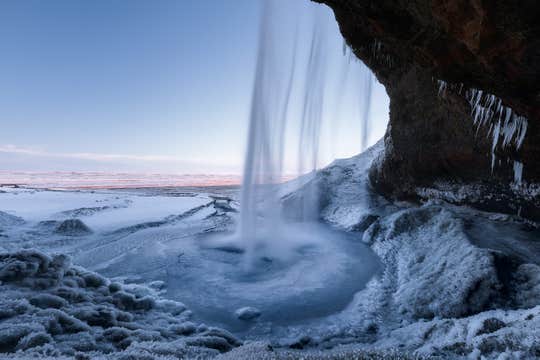
Le long de la Route Circulaire, découvrez les impressionnantes cascades de Skogafoss et Seljalandsfoss, les plages de sable noir de Reynisfjara et les falaises dramatiques de Dyrholaey. Des cratères volcaniques aux fjords paisibles, ce circuit vous fera découvrir la diversité des sites les plus emblématiques d’Islande.
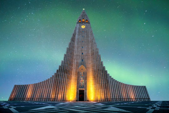
Chassez les aurores boréales dans des lieux isolés et spectaculaires, où les longues nuits d’hiver vous offrent les meilleures chances d’admirer ce phénomène magique. Grâce à des arrêts soigneusement sélectionnés, vous aurez de nombreuses occasions de voir l’aurore danser dans le ciel islandais.
Votre voyage est entièrement personnalisable, avec des hébergements choisis avec soin et adaptables à votre budget et vos envies. Vous pouvez aussi modifier votre itinéraire après réservation pour qu’il corresponde parfaitement à vos objectifs de voyage.
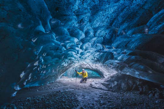
Pour plus de sensations, enrichissez votre aventure avec des excursions et expériences uniques à des prix imbattables. Foncez à travers les paysages glacés en motoneige, partez en randonnée glaciaire ou vivez l’émotion d’une balade en traîneau à chiens. Si vous voyagez d’octobre à mars, ne manquez pas l’exploration d’une spectaculaire grotte de glace bleue avec un guide expert.
Laissez les organisateurs de cet autotour s’occuper de tout, de votre arrivée à votre départ, vous faisant gagner temps, énergie et argent tout en vous garantissant un voyage inoubliable. Réservez en toute confiance grâce à l’annulation gratuite et au remboursement intégral jusqu’à 24 heures avant le départ.
Si vos plans changent ou si vous avez des questions, votre conseiller voyage dédié est disponible 24h/24 et 7j/7 pour vous aider. Nous vous offrons un accompagnement expert et un support sans faille tout au long de votre périple.
Préparez-vous pour le road trip islandais ultime ! Ce circuit en voiture en liberté de 10 jours sur la Route Circulaire vous permettra d’explorer des paysages grandioses, de chasser les aurores boréales et de visiter les meilleures attractions du pays à votre rythme. Vérifiez les disponibilités en choisissant une date dès maintenant.


