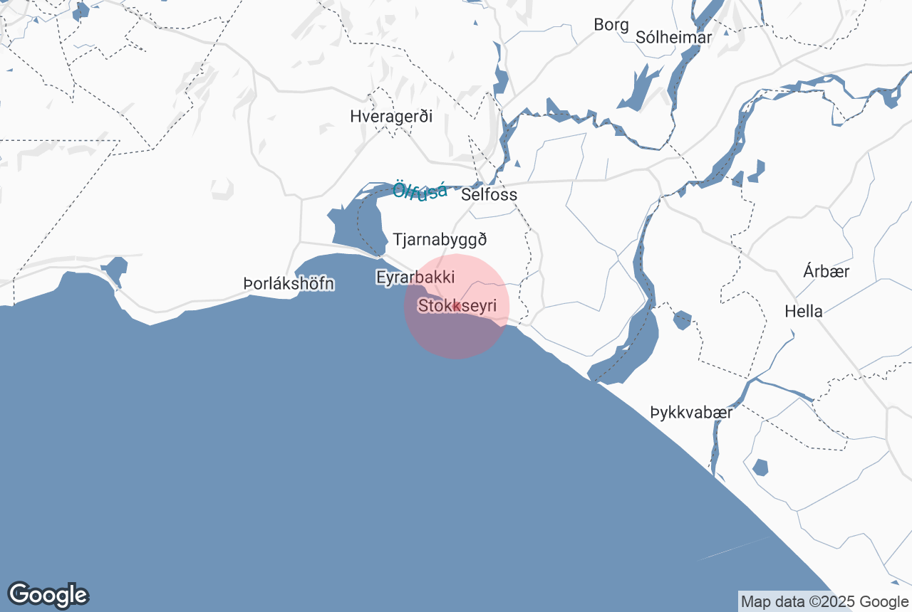
Information à propos de Stokkseyri
Stokkseyri is a village of about 445 people in South Iceland, founded on the great Thjorsarhraun lava. In former times Stokkseyri was an important fishing center and trading village.
Notable attractions are the Ghost Center and the Elf-Troll and Northern Lights Museum, both located in the village’s Culture House.
About 5 km from Stokkseyri you can see the Knarraos lighthouse, an interesting blend of art noveau and functionalism styles. Furthermore, the Stokkseyri shore offers some of the most impressive braker waves in Iceland.
We also recommend the excellent and highly renowned seafood restaurant Fjorubordid.
Services vers Stokkseyri
Lieux à proximité Stokkseyri
Eyrarbakki
Eyrarbakki is a fishing village in south Iceland with a population of around 570 people, located at the end of the great Þjórsá&nb...
Selfoss (town)
Wikimedia, Creative Commons, Photo Credit: Christian Bickel Selfoss is a town of about 6,512 people in South Iceland, by the banks of the river Olfus...
Þjórsá
Wikimedia, Creative Commons, Photo Credit: Grunkhead The majestic Þjórsá is Iceland’s longest and second-most voluminous ri...
Ölfus
Olfus is a area in Arnessysla county, with its boundaries at Olfusa in the east and the Hellisheidi plateau in the west. The landscape of Ol...
Þorlákshöfn
Þórlakshöfn is the main town of the Öfus district in South Iceland, located on the South Shore. It has a population of about ...
Ingólfsfjall
Ingólfsfjall is a 551 metre (1807 feet) tall tuff mountain, named after the country’s first official settler, Ingólfur Arnarson,...
Hveragerði
Hveragerði is a town and municipality in the southwest of Iceland. It is often nicknamed ‘the Earthquake Town’ or ‘the Hot Spr...
Thórsmörk
Nestled between the glaciers Eyjafjallajökull, Mýrdalsjökull, and Tindfjallajökull is Þórsmörk, the Valley o...
Heiðmörk
Wikimedia. Creative Commons. Credit: TommyZ Heiðmörk is a conservation area on the outskirts of Reykjavík, popular amongst locals and...
Raufarhólshellir
Photo from The Lava Tunnel | Raufarholshellir Caving Tour Raufarhólshellir is the fourth longest lava tube in Iceland at 1,360 metres (4,...
Urriðafoss
Credit: Wikimedia, Creative Commons. Photo by Árni Hjaltarson Urriðafoss is a waterfall in the Þjórsá river in so...
Arnarker
Arnarker is a 515 m (1,693 ft) long cave in the Leitarhraun lava field, north of the old road leading from Þrengsli towards Selvogur. A...
Reykjadalur
Reykjadalur, the Valley of Steam, is a beautiful geothermal region close to the southern town Hveragerði. It is a popular place for hiking and h...
Hellisheiði
Wikimedia, Creative Commons, Photo Credit: ThinkGeoEnergy Hellisheiði is a lava plateau east of Reykavík, approximately 380 metres (1,247 ...
Hengladalsá
Hengladalsa is a river in Southwest Iceland. The river has its source by the Hengill area, from valleys Innstidalur, Middalur and Fremstidalur,...
Kerið
Kerið is a volcanic crater lake in the Grímsnes area of South Iceland. It is close to the three major sites that comprise Iceland’s...
Þrengsli and Þrengslavegur
Þrengslavegur is a road in Iceland that connects Route 1 to the towns along the southern coastline, whereas Þrengsli is a picturesque...
Route Circulaire
Iceland has one main road: Route 1, or the Icelandic Ring Road. This ring road goes all around the island and is 1,332 kilometres long (828 miles), ...
The Geothermal Energy Exhibition
Photo from the Geothermal Exhibition The Geothermal Energy Exhibition is an interactive museum on Iceland’s volcanic processes at Hellisheið...
Hellisheiðarvirkjun
The Hellisheidi Power Station is the largest geothermal powerstation in Iceland and the second-largest in the world. The power station is located by...