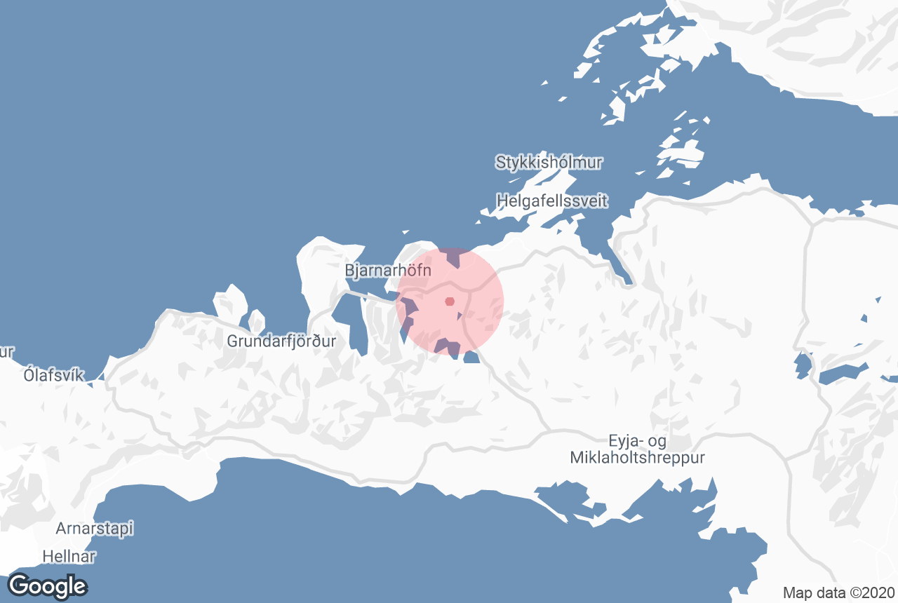

Berserkjahraun is a 4000-year-old lava field situated on the Snæfellsnes peninsula.
It covers the western part of Helgafell, between the towns of Stykkishólmur and Grundarfjörður.
Why You Can Trust Our Content
Guide to Iceland is the most trusted travel platform in Iceland, helping millions of visitors each year. All our content is written and reviewed by local experts who are deeply familiar with Iceland. You can count on us for accurate, up-to-date, and trustworthy travel advice.
Explore this region on a tour of Snaefellsnes Peninsula.
History
The name Berserkjahraun comes from one of the Icelandic Sagas, Eyrbyggja-Saga. According to the saga a farmer brought two berserkers from Sweden to the Snæfellsnes Peninsula. He later gave the berserkers to his brother, Víga-Styr, who lived on the other side of the lava field.
One of the Swedes fell in love with Víga-Styr’s daughter and asked for her hand in marriage. Víga-Styr made a deal with the berserker, he could have his daughter’s hand if the two Swedes could clear a path through the lava field, connecting Víga-Styr’s farm to his brother’s.
The feat was considered impossible but the berserkers managed to complete the path quite quickly. Instead of keeping his promise, Víga-Styr had the two Swedes killed and buried them near the path.
Four landmarks from the saga can be found in Berserkjahraun. Those are Berserkjagata, the path itself, Berserkjadys, where the two Berserkers are supposed to be buried, Landamerkjagarður, a boundary fence and Fjárrétt, a sheep den.
Geology and Geography
 Photo from Wikimedia, Creative Commons, by Aconcagua. No edits made.
The lava field was created after four scoria craters erupted in short intervals around 4000 years ago. The lava ran from the mountain slopes of Bjarnarhafnarfjall and out to the sea at Hraunsfjörður and Hraunsvík.
The four scoria craters form a row from west to east from Kerlingarskarð pass. Rauðkúla is the largest one and was the first to erupt. Kothraunskúla was next, then Smáhraunskúla and finally Grákúla. The eruption from Grákúla created Selvallavatn lake, just south of the crater. Kothraunsvatn was also created in these eruptions.
The two largest craters are Rauðkúla, which is 379 metres (1243 feet) wide, and Grákúla, 211 metres (629 feet) wide. The name Rauðkúla and Grákúla can be translated to “Red Crater” and “Grey Crater” respectively. The craters are, in fact, both red in colour but Grákúla appears grey due to the moss covering the crater.


