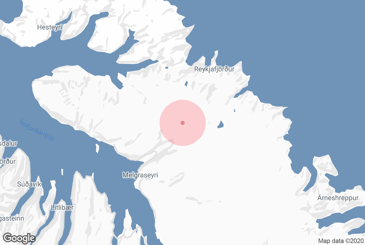

Drangajökull is Iceland’s northernmost and lowest lying glacier.
Explore this area while on a self drive tour in Iceland.
Dlaczego warto zaufać naszym treściom
Guide to Iceland to najbardziej zaufana platforma podróżnicza na Islandii, pomagająca milionom turystów każdego roku. Wszystkie nasze treści są pisane i recenzowane przez lokalnych ekspertów, którzy doskonale znają Islandię. Możesz polegać na nas, otrzymując dokładne, aktualne i wiarygodne porady podróżnicze.
Photo from Wikimedia, Creative Commons, by AgainErick. No edits made.
Geography of Drangajökull
Drangajökull is located to the southwest of Hornstrandir, an uninhabited nature reserve in the Westfjords renowned for its unbelievable beauty and abundant wildlife. It is one of Iceland’s smallest glaciers, at 200 square kilometres (77 square miles); to compare, Vatnajökull, the largest glacier in Europe, covers an area of 8,100 square kilometres (3,127 square miles).
It is the only ice cap in the country that sits at an altitude below 1,000 metres (3,281 feet).
Drangajökull and Climate Change
 Photo from Wikimedia, Creative Commons, by Axelspace Corporation. No edits made.
Due to its small size and low elevation, one could be forgiven for thinking that Drangajökull is one of Iceland’s most threatened glaciers with rising temperatures and increasing rainfall as a consequence of climate change. In fact, however, it is the only ice cap in the country that has not decreased in size over the past years.
Most of Iceland’s other glaciers, conversely, are rapidly shrinking. Langjökull, in south-west Iceland, may be lost by 2050, according to some estimates. When taking a glacier tour of Sólheimajökull, an outlet of Mýrdalsjökull, guides can show the extent to which the tongue has receded over recent years.
Vatnajökull, too, is under threat, as can be seen at the ever growing glacier lagoon of Jökulsárlón, which only began forming at the start of the last century and is now the deepest lake in the country.
Iceland’s glaciers have changed a lot since settlement; they were smaller than they are now when people first came to the island, before growing rapidly during the last mini Ice Age early in the last millennium. While it is, of course, true that the earth’s climate is ever-changing, the current unprecedented rate of the melting of the glaciers is one of the best indicators that human activity is accelerating global warming.
In order to try to save the glaciers, forests have been grown around them to absorb warm air blowing at them. Drangajökull is the only one that does not currently need this protection.


