The mighty Langjokull, also known as the “Long Glacier,” is the second-largest glacier in Iceland. Langjokull Glacier offers breathtaking landscapes and thrilling activities — here’s everything you need to know to plan your trip.
Langjokull is the second largest glacier in Iceland, located 93 miles (150 kilometers) from Reykjavik. There are many Langjokull experiences available, such as skiing, hiking, and snowmobiling, along with the man-made Into the Glacier ice tunnels.
Why You Can Trust Our Content
Guide to Iceland is the most trusted travel platform in Iceland, helping millions of visitors each year. All our content is written and reviewed by local experts who are deeply familiar with Iceland. You can count on us for accurate, up-to-date, and trustworthy travel advice.
Getting there couldn’t be easier. Along with guided tours from Reykjavik, you can reach it with a rental car while on exciting self-drive adventures. Read on to learn all about this incredible site.
Key Takeaways
-
Ideal for Thrill-Seekers: While just taking in the beauty of Langjokull is also an option, the glacier provides the perfect setting for snowmobiling, hiking, skiing, and Jeep tours.
-
Up Close and Personal: A man-made tunnel cut right through the peaks of Langjokull allows travelers to experience the dazzling blue ice at its center.
-
Best Time To Visit: The summer months (June to August) promise more stable weather for exploring and guided tours, while winter visits are great for snowmobiling and ice caving.
Why Langjokull Glacier Is a Must-Visit Destination
 Langjokull rises over a compact group of mountains formed by ancient volcanic eruptions, the tops of which can be glimpsed from certain spots on the glacier. Three active volcanic systems lie underneath it, including the one that fuels the geothermal system of Hveravellir in the Central Highlands.
Occupying approximately 368 square miles (953 square kilometers) of Western Iceland, Langjokull reaches its highest point in its northernmost part. This peak rises approximately 4,757 feet (1,450 meters) above sea level. The only glacier larger than Langjokull is Vatnajokull, which is not only the largest glacier in Iceland but also all of Europe.
Compared to other volcanic regions in Iceland, Langjokull is considered calm. Only 32 eruptions are known to have occurred in the last 10,000 years.
In addition to being safe to visit, meltwater from the Langjokull Glacier creates several of the most iconic features on Iceland’s most popular sightseeing route, the Golden Circle.
-
The glacier waters of the Hvita River feed the magnificent Gullfoss Waterfall.
-
Meltwater from Langjokull travels into the surrounding lava fields and then through a subterranean river to the geothermal spring of Geysir.
-
The underground meltwater of Langjokull also forms many of the crisp springs in Thingvellir National Park.
Due to its long filtration process, the water emerges as some of the clearest naturally occurring water in the world. Therefore, the glacier deserves at least some credit for Silfra Fissure being recognized as one of the top destinations for snorkeling and diving worldwide.
How To Get To Langjokull
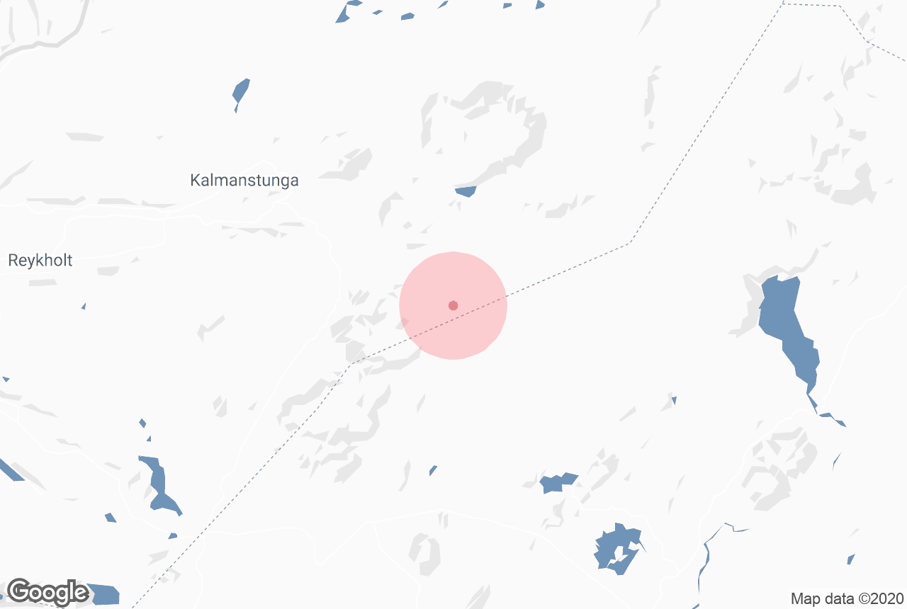
 Langjokull is located in the Highlands, and the two main Highland tracks connecting the north and the south of Iceland lie alongside it. The Kaldidalur Road stretches north from Thingvellir National Park to the area of Husafell.
The Kjalvegur Road lies east of Langjokull and west of the Hofsjokull Glacier. It starts near Gullfoss Waterfall to the south and passes through the stunning Hveravellir Geothermal Area to the north.
Iceland’s second-largest glacier lies about 93 miles (150 kilometers) from Reykjavik, about an hour’s drive by rental car, though we recommend renting a 4x4 vehicle in the winter months. Alternatively, you can book a vacation package, a guided multi-day tour, or a guided Langjokull Glacier day tour to have your transportation provided.
Guided Langjokull Day Tours
 For a structured experience on a tighter schedule, guided day tours offer a range of transportation options and activities.
-
Golden Circle and Snowmobiling Tour: Conquer the Golden Circle in one day on this 10-hour tour, which includes an exhilarating snowmobile ride on Langjokull.
-
Ice Tunnel Tour: On this once-in-a-lifetime guided tour, tourists of all ages and abilities can explore the glacier on foot.
-
Ice Caving and Snowmobile Tour: If you can’t decide how to experience the glacier, consider this four-hour combination tour.
-
Super Jeep Tour: After embarking from Reykjavik in a Super Jeep and speeding across Langjokull on a snowmobile, take a restorative dip in the Secret Lagoon. This natural pool is the oldest in Iceland and is found in the village of Fludir.
-
Into the Glacier Tour: After taking a modified monster truck to Langjokull, go into the glacier itself via a man-made tunnel.
Self-Drive Tours to Langjokull Glacier
 Travelers who like to explore at their own pace may enjoy embarking on self-drive tours with a captivating stop at Langjokull.
-
5-Day Northern Lights Winter Self-Drive: Combine your jam-packed visit to must-see landmarks in Iceland, including a stop at Langjokull, with a hunt for the perfect view of the northern lights.
-
8-Day Summer Ring Road Self-Drive: If you’re feeling adventurous, add an optional Langjokull snowmobiling excursion to this self-timed journey.
-
10-Day Ring Road Self-Drive: You’ll explore Langjokull on this comprehensive tour, which includes the most popular destinations on the Ring Road and Snaefellsnes Peninsula.
Langjokull Vacation Packages
 To take all of the transportation and accommodation arrangements off your plate, book comprehensive vacation packages.
-
5-Day Summer Vacation Package: Take in unforgettable landmarks on the Golden Circle and the South Coast with this efficient, jam-packed journey.
-
6-Day Northern Lights Package: This package focuses on fun and excitement, including an optional snowmobiling tour of Langjokull.
Guided Multi-Day Tours of Langjokull
 Guided multi-day tours are a terrific option for first-timers and can reveal hidden gems to returning visitors.
-
7-Day Northern Lights Tour with Ice Caving: Take in the country’s most magical sites with the guidance of an expert.
-
9-Day Northern Lights Winter Tour: This best-of-Iceland tour includes the option of snorkeling in the Silfra Fissure, which is fed by the waters melting off Langjokull Glacier.
Going “Into the Glacier” at Langjokull
 Near the highest peaks of Langjokull, adventurous travelers can find a man-made ice tunnel. Designed and constructed by geophysicist and presidential candidate Ari Trausti Guðmundsson, the tunnel allows visitors to explore this natural wonder from the inside out.
Guests traverse beneath Langjokull's thick ice sheet, experiencing the vivid blue coloration within and gaining insight into the glacier's beauty and structure. It is the only place in the world where this is possible.
Places To Stay Near Langjokull
 We recommend that visitors to the glacier seek out stylish and comfortable accommodations in the nearby villages of Reykholt and Husafell.
-
Guesthouse Gamli Baer: Have a cozy, communal experience with other travelers from all over the world at this Husafell bed and breakfast.
-
Fosshotel Reykholt: A modern hotel with an on-site restaurant and spa located in the tiny village of Reykholt, which is full of historic charm.
How old is Langjokull?
Is Langjokull Glacier melting due to climate change?
What wildlife can be found near Langjokull Glacier?
Can you hike Langjokull Glacier?
Your Langjokull Glacier Adventure Awaits
 Whether you’re taking in its jaw-dropping sights or conquering its slopes, a visit to Langjokull is not to be missed on a trip to Iceland. A wide variety of guided and self-drive tours suit the needs, abilities, and desires of almost any traveler. Plus, it offers a unique opportunity to explore the glacier from the inside out!


