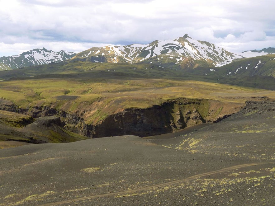
Tindfjöll is a mountain ridge that runs south from the glacier and volcano Tindfjallajökull. It was formed in an eruption 54,000 years ago.
Photo above from Wikimedia, Creative Commons, by Borvan53. No edits made.
Derfor kan du stole på vores indhold
Guide to Iceland er den mest pålidelige rejseplatform i Island, der hjælper millioner af besøgende hvert år. Alt vores indhold er skrevet og gennemgået af lokale eksperter, der kender Island ud og ind. Du kan stole på, at vi giver dig præcise, opdaterede og pålidelige rejsetips.
Tindfjöll is located in the south-west of the Icelandic highlands, close to settlements such as Reykholt and Fluðir, and attractions such as Gullfoss waterfall. The tallest mountain in the range is simply called 'the Peak' and stands at 1251 metres (4104 feet). Tindfjöll translates directly to 'Peak Mountains'.
'The Peak' is still not as tall as Tindafjallajökull itself, the highest point of which is 1462 metres. This summit is named Ýmir, after the giant from Old Norse Mythology whose death created the earth and heavens.
Explore this area on a self drive tour in Iceland.


