Information about Tindfjallajökull
Wikimedia, Creative Commons, Photo by Bjoertvedt
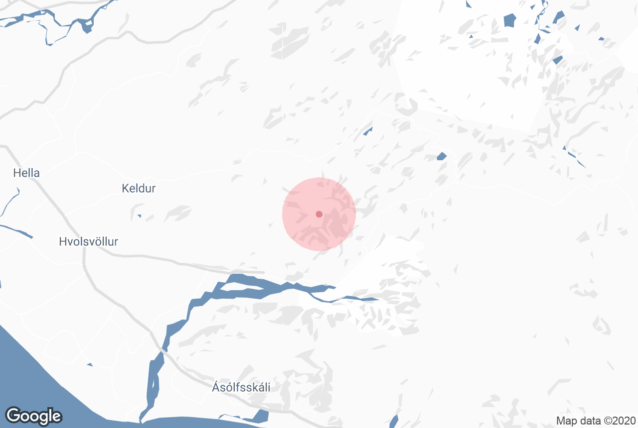
Tindfjallajökull is the smallest glacier in Iceland, covering an ancient stratovolcano. It can be found in the south of the country.
Geography of Tindfjallajökull
Tindfjallajökull was formed in an eruption 54,000 years ago, which created a caldera five kilometres (three miles) wide. Since then, it has become covered in a small glacier with a surface area of 19 square kilometres (seven square miles). This is the smallest ice cap known in Iceland; to compare, the largest one in the country and Europe, Vatnajokull, covers a surface area of 8,100 square kilometres (3127 square miles).
It’s highest peak is 1,462 metres (4,797 feet).
Tindfjallajökull translates to ‘the peak mountain glacier’. This is in reference to the row of sharp peaked mountains, the Tindfjöll, that run to the south of the glacier.
Five rivers flow from Tindfjallajökull: the Gilsá, the Þórólfsá, the Hvítmaga, the Valá and the Blesá.
During its last eruption, the composition of the rocks ejected were basaltic to rhyolitic.
From the top of Tindfjallajökull, it is possible to see a range of well-known sites in Iceland. The most notable are the two glaciers of Eyjafjallajökull and Mýrdalsjökull, the Westman Islands in the Atlantic Ocean, the Icelandic Highlands and the beautiful valley of Þórsmörk.
Highest peak of Tindfjallajökull
Wikimedia, Creative Commons, Photo by Martin Barth
The highest peak of Tindfjallajökull is named after the giant Ymir of Old Norse Mythology. Born from venom at the beginning of time, Ymir is the ancestor of all mythical beings in Iceland.
According to the legend, Ymir was killed by three of the Old Norse Gods, Oðin, Vili and Vé. It is said that from his flesh they created the Earth; from his bones, they created mountains; his hair became the trees; his brains became the clouds; his skull became the heavens; and his brow became Miðgard, when humans would live.
Services near Tindfjallajökull
Attractions nearby Tindfjallajökull
Tindfjöll
Tindfjöll is a mountain ridge that runs south from the glacier and volcano Tindfjallajökull. It was formed in an eruption 54,000 years ...
Markarfljótsgljúfur Canyon
Photo Credit: Wikimedia. Creative Commons. Borvan53. Markarfljótsgljúfur is a canyon in Iceland's southern Highlands, west of ...
Faxi
Credit: Wikimedia, Creative Commons. Photo by Kkaefer. Faxi is a wide, serene waterfall in South Iceland. It can be found in the Tungufljót Ri...
Stakkholtsgjá
Stakkholtsgjá a canyon located in South Iceland that can be hiked through to reach a picturesque waterfall. It is renowned for its fairytale-...
Laugavegur Hiking Trail
Laugavegur is one of the most popular highland trails in Iceland. The scenery is breathtaking in its beauty and diversity, perfectly representing th...
Krakatindur
Krakatindur is a 858 m volcano in Rangarvallasysla in South Iceland. The volcano is located in the Nyjahraun lava field and belongs to ...
Gígjökull
Gígjökull is one of the two glacier outlets of Eyjafjallajökull. The other is Steinholtsjökull. Eyjafjallajökull...
Stórasúla
Stórasúla is a distinctive, cone-shaped mountain found in the southern highlands of Iceland. The mountain has an elevation of 693 m (2...
Fimmvörðuháls
Fimmvörðuháls Pass is one of Iceland's most popular hiking trails. It made the world news when the Eyjafjallajökull eruptio...
Eyjafjallajökull
The glacier volcano of Eyjafjallajökull is notorious the world over for causing havoc to air travel in 2010, and stumping television anchors ev...
Móði
Flickr, Photo by Pavel Karafiet Móði, along with its neighbour Magni, is one of the two newest craters in Iceland. Formation of Mó...
Magni
Magni is one of the newest craters in Iceland, alongside its neighbour Móði. Formation of Magni Magni was created during the 2010 erupt...
Nauthúsagil
Photo by Regína Hrönn Ragnarsdóttir. Nauthúsagil is a narrow ravine in South Iceland, located beneath the glacial volcano E...
Þríhyrningur
Wikimedia. Creative Commons. Milan Nykodym. Þríhyrningur (‘Three Peaks Mountain’) is a mountain found in Katla Ge...
Bláfjöll
Wikimedia, Creative Commons, photo by Reykholt The Blue Mountains, otherwise known as Bláfjöll, are a beautiful mountain range in the sou...
Hekla
Hekla, nicknamed ‘the Gateway to Hell’ in the Middle Ages, is one of Iceland’s most explosive, unpredictable and powerful volcanoes....
Seljavallalaug
Credit: Wikimedia, Creative Commons, photo by Johannes Martin. Seljavallalaug is an outdoor swimming pool in South Iceland, roughly ten kilomet...
Torfajökull
Torfajökull is the name of both a stratovolcano and a complex of subglacial volcanoes, north of Mýrdalsjökull glacier in South Icelan...
Mýrdalsjökull
Mýrdalsjökull is a glacier in the south of the Icelandic highlands. It is the country's fourth largest ice cap, covering nearly 600 ...
Þorvaldseyri
Þorvaldseyri is a historic farm located beneath Iceland’s most famous volcano, Eyjafjallajökull. Credit: Wikimedia, Creative Com...