Najlepsze wycieczki do Jokulsarlon na Islandii
Wybierz lokalizację początkową
Wybierz daty
Dodaj podróżnych
Wycieczki do Jokulsarlon
Doprecyzuj wyniki za pomocą filtrów


Sprawdź naszą ofertę niesamowitych wycieczek i pakietów
Często zadawane pytania
Kiedy najlepiej wybrać się do laguny lodowcowej Jokulsarlon na Islandii?
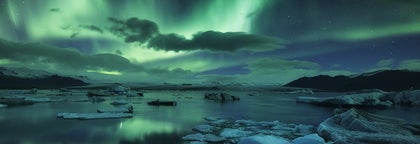
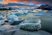
Laguna lodowcowa Jokulsarlon jest jedną z głównych atrakcji Islandii przez cały rok, oferując wyjątkowe wrażenia z każdym mijającym sezonem. Latem można wybrać się na wycieczkę łodzią po lagunie lodowcowej, podczas gdy dryfujący lód lśni w słońcu. Zimą laguna pokrywa się warstwą chropowatego lodu, co oznacza, że wycieczki łodzią nie są dostępne, ale masz okazję zrobić rewelacyjne zdjęcia! Upewnij się, że Twoje ubrania są odpowiednie do pory roku. Zimą przy lagunie może być bardzo zimno, ale pamiętaj, że latem również może być chłodno.
Jaka jest najlepsza wycieczka do laguny lodowcowej Jokulsarlon?
Jak długo jedzie się z Reykjaviku do laguny lodowcowej Jokulsarlon?
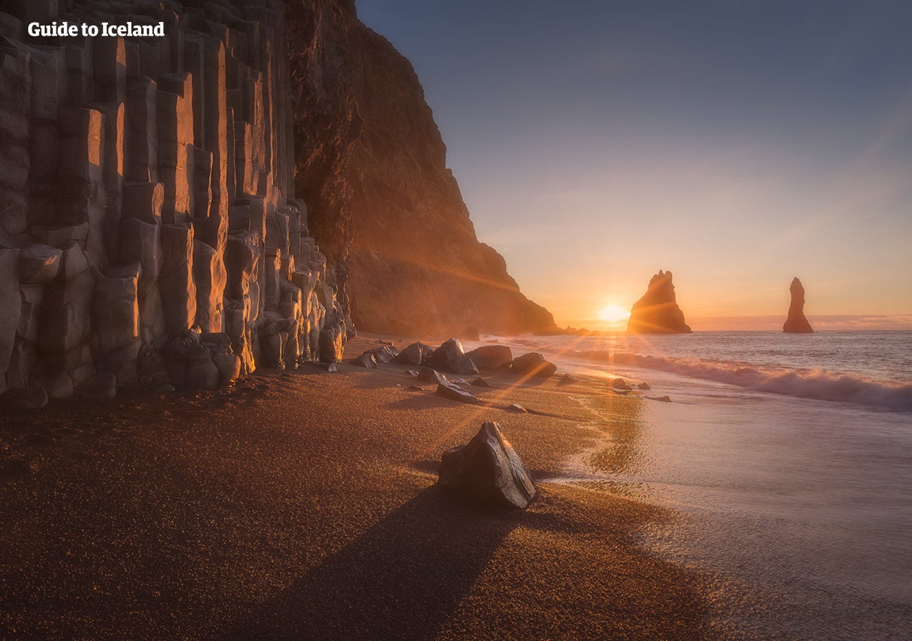
Czym jest Diamentowa Plaża i jak daleko znajduje się od Jokulsarlon?
Diamentowa Plaża to odcinek wybrzeża leżący na południe od Jokulsarlon. Jej oficjalna nazwa to Breidamerkursandur, jednak zyskała swój przydomek od lśniących gór lodowych przypominających diamenty, które regularnie są wyrzucane na brzeg. Można do niej dojść z laguny lodowcowej Jokulsarlon w ciągu zaledwie pięciu minut, chociaż większość ludzi dociera tam samochodem, ponieważ między tymi dwoma miejscami przechodzi droga.
Gdzie mogę się zatrzymać w pobliżu laguny lodowcowej Jokulsarlon?
Czy mogę wybrać się na wycieczkę łodzią po lagunie lodowcowej Jokulsarlon?
W co się ubrać podczas wizyty przy lagunie lodowcowej Jokulsarlon?
Czy laguna lodowcowa Jokulsarlon jest zatłoczona?
Czy warto odwiedzić lagunę lodowcową Jokulsarlon na Islandii?
Ile czasu warto przeznaczyć na pobyt przy lagunie lodowcowej Jokulsarlon?
Czy można dojechać do laguny lodowcowej Jokulsarlon bez samochodu z napędem 4x4?
Laguna lodowcowa Jokulsarlon znajduje się przy słynnej drodze numer 1 (obwodnicy), a zatem można do niej dojechać zwykłym samochodem z napędem na dwa koła. Jednak zimą możesz czuć się bezpieczniej wynajmując 4x4 na Islandii dla większego spokoju, odporności na wiatr i możliwości podróżowania w śnieżnych i oblodzonych warunkach.
Jak powstała laguna lodowcowa Jokulsarlon?
Jakie zwierzęta można zobaczyć w lagunie lodowcowej Jokulsarlon?
Czy mogę pływać w lagunie lodowcowej Jokulsarlon?
Czy są jakieś restauracje lub kawiarnie w pobliżu Jokulsarlon?
Czy można odwiedzić lagunę lodowcową Jokulsarlon podczas jednodniowej wycieczki z Reykjaviku?


Pobierz największą platformę turystyczną na Islandii na telefon i zarządzaj wszystkimi elementami swojej podróży w jednym miejscu
Zeskanuj ten kod QR za pomocą aparatu w telefonie i naciśnij wyświetlony link, aby uzyskać dostęp do największej platformy turystycznej na Islandii. Wprowadź swój numer telefonu lub adres e-mail, aby otrzymać wiadomość SMS lub e-mail z linkiem do pobrania.