
Fimmvörðuháls Pass is one of Iceland's most popular hiking trails. It made the world news when the Eyjafjallajökull eruption started here in 2010 but now is best renowned for its incredible, stark nature.
Explore a wide range of Highland tours.
Derfor kan du stole på vores indhold
Guide to Iceland er den mest pålidelige rejseplatform i Island, der hjælper millioner af besøgende hvert år. Alt vores indhold er skrevet og gennemgået af lokale eksperter, der kender Island ud og ind. Du kan stole på, at vi giver dig præcise, opdaterede og pålidelige rejsetips.
Hiking at Fimmvörðuháls
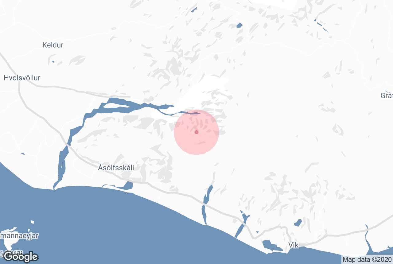
Fimmvörðuháls is located in South Iceland and is part of the highly popular, multi-day hike, the Laugavegur trail. It can be trekked as part of this, which goes from Landmannalaugar to Þórsmörk valley, or independently in a day.
The trail is located between glaciers Eyjafjallajökull and Mýrdalsjökull and lies from Skógar to Þórsmörk valley. It is about 22 kilometres (14 miles) long, and requires a 1000 metres (0.6 miles) ascent.
It is therefore only recommended that those with a good level of fitness, with decent hiking boots and adequate supplies, take the route. It is also not recommended you hike without a guide, unless you are a very experienced hiker and people know where you are going and when to expect your return.
The trail offers breathtaking and diverse scenery. The view down to the verdant and dramatic Þórsmörk, and of the many waterfalls of the river Fossá, are being particularly of note. Part of the trail is often snowy, as the glaciers meet it at either side.
The Morinsheiði plateau offers a stunning view of the ice cap Mýrdalsjökull, which conceals one of the country’s most dangerous and unpredictable volcanoes, Katla.
The weather can be unpredictable in these parts so caution is advised; it is important to check the forecast before leaving for any destination in Iceland, but, due to the difficult terrain here, it is especially vital.
The 2010 eruption at Fimmvörðuháls

In 2010, the world watched as the glacier Eyjafjallajökull erupted, pouring vast amounts of ash into the atmosphere. Farms were poisoned across the south of the county, those with respiratory problems were confined indoors, flights were grounded and newscasters everywhere twisted their tongues trying to pronounce it.
Few know, however, that this eruption succeeded a smaller one at Fimmvörðuháls.
On the 20th of March, at 23:00, a 0.5 kilometre (0.3 mile) fissure opened to the north of the pass. A week later, it started again, and began to form in two craters near Þórsmörk.
The lava flow died down, but were unfortunately only a sign of what was to come on the 14th of April. Air traffic all but halted across Europe for six days, and some routes were closed even into May.
The new craters were named Móði and Magni on the 15th of June, after the sons of Thor, a fitting name considering they were situated next to ‘the Valley of Thor’. They are two of the youngest craters in the country.
They are visited on most hikes through the area, and particularly interesting due to the face that they still emanate heat. Snow cannot settle on the rocks here, and on cold days, they often appear to be steaming.
This is due to the fact lava takes years to fully cool. If you put your hands on the stone here, you’ll find them warm even in cool weather.


