
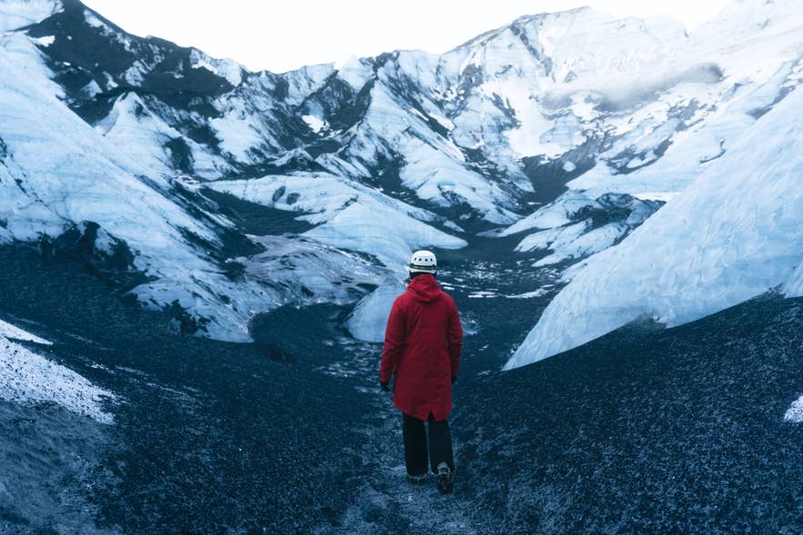
Katla Volcano is one of Iceland's most active volcanic systems, hidden beneath Myrdalsjokull Glacier on the South Coast. Its eruptions and glacial floods have shaped the surrounding black-sand plains, while guided tours offer ways to experience the glacier above it.
Many visitors experience the area through Katla tours that explore the glacier and its ice caves. This Katla Ice Cave tour from Vik, for example, combines a super jeep ride with a guided glacier walk and cave visit.
Katla lies beneath Myrdalsjokull Glacier, within Katla Geopark and just north of Vik. The village is about 116 miles (187 kilometers) from Reykjavik and is a common departure point for glacier tours onto Myrdalsjokull, though some South Coast tours begin in the capital. There is no road to the volcano itself.
To go beyond the logistics, we spoke to Pawel Medza, a glacier guide in Iceland with Katlatrack. He shared firsthand insights into why the cave's ice is streaked with black ash, what visitors enjoy most, and how guides choose a safe route each day.
Katla Volcano at a Glance
-
Location: Beneath Myrdalsjokull Glacier, near Vik on the South Coast
-
Volcanic system: About 50 miles (80 kilometers) long
-
Volcano type: Active subglacial central volcano with a fissure swarm
-
Caldera size: About 5.6 by 8.7 miles (9 by 14 kilometers)
-
Elevation: Up to about 4,921 feet (1,500 meters) above sea level
-
Last eruption to break through the ice: 1918
-
Recorded activity: At least 21 eruptions in the past 1,100 years
-
Famous for: Explosive eruptions, tephra, and glacial outburst floods called jokulhlaups
-
Distance from Reykjavik: About 116 miles (187 kilometers) to Vik, the nearest town and a common departure point for Katla’s ice cave tours
-
Part of: Katla Geopark, a UNESCO Global Geopark
History and Geology of Katla Volcano
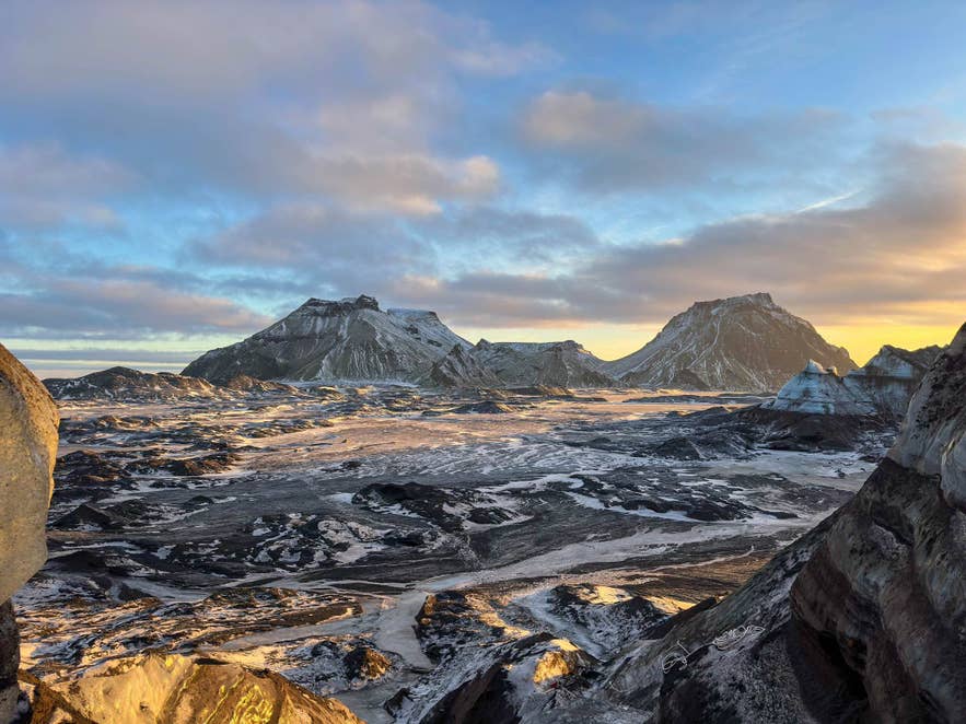
The Katla Volcanic System is about 50 miles (80 kilometers) long. Its central volcano contains a caldera, a large volcanic depression, measuring about 5.6 by 8.7 miles (9 by 14 kilometers) beneath Myrdalsjokull.
Ice within the caldera can be up to about 2,300 feet (700 meters) thick. Katla also has an active fissure swarm extending northeast from the central volcano.
Katla is known mainly for explosive eruptions that produce tephra. Tephra is the general name for material thrown into the air during an eruption, including fine volcanic ash and larger rock fragments.
Eruptions beneath Myrdalsjokull can melt large amounts of ice and cause a jokulhlaup, or glacial outburst flood. These sudden floods can carry water, sediment, and blocks of ice across the plains surrounding the glacier.
Eruption History of Katla Volcano
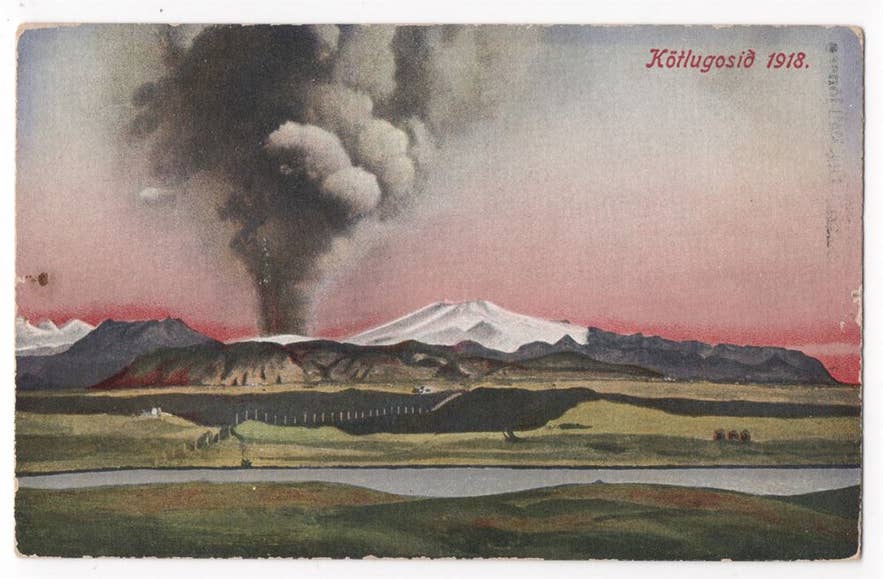
The Icelandic Meteorological Office records at least 21 eruptions in the Katla Volcanic System during the past 1,100 years. The volcano is known for explosive eruptions, and many recorded events have also produced glacial floods.
Katla’s last confirmed eruption began in October 1918 and lasted for several weeks. It caused widespread ashfall and a major jokulhlaup that swept across Myrdalssandur, the black-sand plain southeast of the glacier.
Possible events occurred beneath Myrdalsjokull in 1955, 1999, and 2011, but they have not been confirmed as eruptions. The 1918 event therefore remains Katla’s last confirmed eruption and the last known to have broken through the glacier.
The Eldgja Eruption
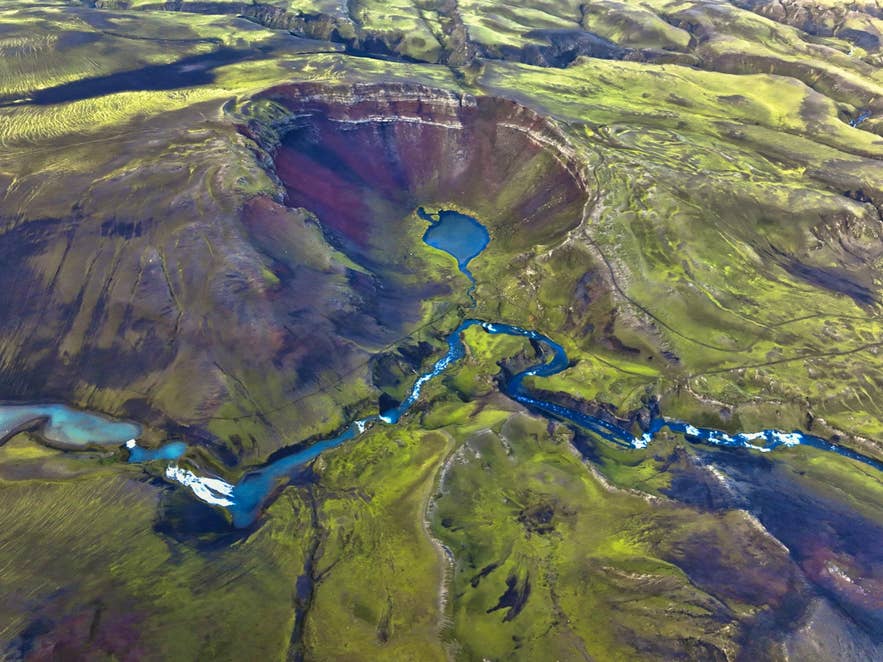
The largest known eruption within the Katla Volcanic System occurred along the Eldgja Fissure around 939. It produced about 4.8 cubic miles (20 cubic kilometers) of lava and tephra, making it one of the largest volcanic events in Iceland since the country was settled.
Eldgja is part of Katla’s wider fissure system rather than the central volcano beneath Myrdalsjokull. Its scale shows that activity within the Katla System is not limited to eruptions beneath the glacier.
The Katla Ice Cave
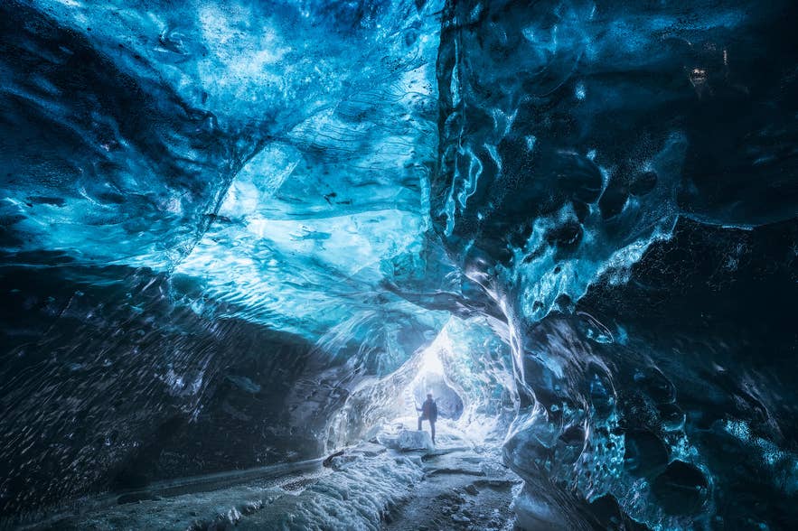
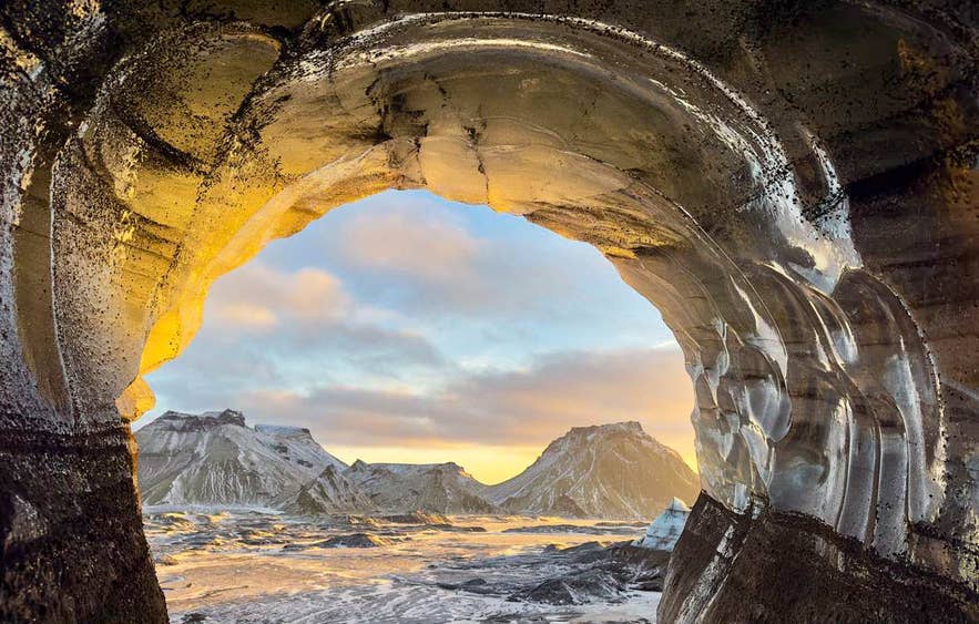
The glacier caves visited on Katla Ice Cave tours form within Kotlujokull, an outlet glacier of Myrdalsjokull above the Katla Volcanic System. Layers of ash preserved in the glacier provide a visible connection between the ice and Katla’s volcanic activity.
Katla is special because of the volcano underneath the glacier. The volcanic ash gets trapped in the ice, creating the black colors you see inside the cave. You get a really nice mix of black, blue, and white ice.
These are natural, temporary formations rather than permanent chambers. Glacier movement and seasonal melting can alter their entrances, passages, and appearance over time.
Photos online can be from a different season or even a different cave. So I always tell people not to expect the exact same cave they saw in a photograph.
The Name and Folklore of Katla
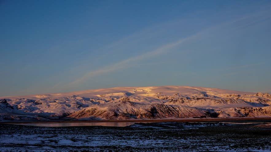
Katla is an old Icelandic female name related to the word ketill, meaning a kettle or cauldron. The precise reason the volcano received this name is not documented.
A popular Icelandic folktale connects the volcano with Katla, a bad-tempered housekeeper believed to possess magical trousers. According to the story, she disappeared into the mountains, and the volcano was later named after her. This is folklore rather than a confirmed explanation of the name.
How To Experience Katla Volcano
Katla cannot be visited as an exposed crater because its central volcano and caldera lie beneath Myrdalsjokull Glacier. There is no public road or marked walking route to the volcano itself.
Instead, visitors can see Myrdalsjokull and landscapes shaped by Katla independently. Guided glacier and ice cave tours provide access to parts of the glacier associated with the volcanic system.
Getting to the Katla Area
Vik is the nearest town to Katla and a common departure point for guided tours. It is about 116 miles (187 kilometers) from Reykjavik, with a drive of around 2.5 to 3 hours in good conditions along the Ring Road.
The route passes several of the South Coast's best-known sights, with short detours available from Route 1. Allow extra time if you plan to stop along the way.
Travelers who prefer not to drive can join a South Coast and Katla day tour from Reykjavik. This full-day tour includes transport to the Katla area, plus stops at Seljalandsfoss and Skogafoss.
Experiencing Katla Volcano Through the Ice Cave
One of the main ways to experience Katla Volcano is to visit the Katla Ice Cave within Kotlujokull. Travelers staying in Vik can join a shorter tour without the full-day transfer from Reykjavik.
The three-hour Katla Ice Cave tour from Vik is offered throughout the year, although conditions determine the route and cave visited. For many travelers, the appeal extends beyond the time spent inside the cave:
I think it's the whole adventure. The Super Jeep ride, the glacier, and then finally walking into the ice cave. People are usually amazed by the blue, white, and black colors inside.
Tours typically provide crampons, helmets, and headlamps. Travelers should wear warm layers, waterproof outerwear, and sturdy hiking or waterproof boots, and be prepared for a bumpy drive.
Glacier Hiking on Myrdalsjokull
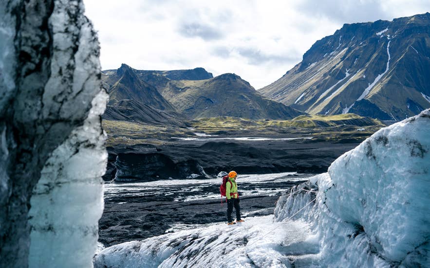
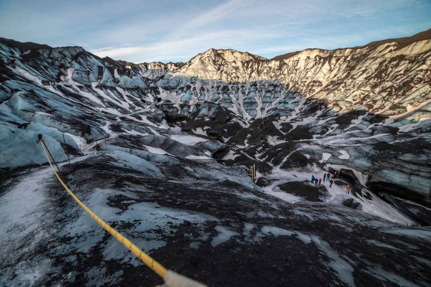
Glacier hiking provides another way to experience Myrdalsjokull, the ice cap covering Katla. Solheimajokull is one of its outlet glaciers and a common location for guided hikes, although these tours do not reach the volcano or its caldera.
A 3.5-hour guided Solheimajokull glacier hiking tour meets travelers on self-drive tours at the glacier parking area between Skogar and Vik. Travelers in Iceland without a car can take a South Coast and glacier hiking tour from Reykjavik.
Reliability is the quiet strength of this category. Most glacier hiking operators in Iceland call off fewer than 5% of departures and several sit under 2%, which is unusually low for an outdoor activity in this weather. We looked at cancellations, ratings, and prices together in our comparison of Iceland's glacier hiking tours.
Guides provide technical safety equipment and select routes for the day's conditions. No previous glacier experience is required on beginner tours, but travelers should check each product's age, fitness, and footwear requirements before booking.
Is Katla Volcano Active?
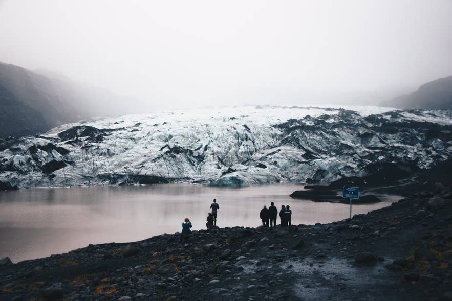
Katla is an active volcano, although its last confirmed eruption to break through the ice occurred in 1918. The Icelandic Meteorological Office continuously monitors the area for earthquakes, ground movement, and other changes in volcanic activity.
The effects of a future eruption would depend on its location, size, and interaction with the glacier. Possible hazards include tephra fall, earthquakes, and jokulhlaups caused by rapid melting beneath Myrdalsjokull.
Earthquakes beneath an active volcano do not necessarily mean an eruption is imminent. Visitors should follow official directions and check the Icelandic Meteorological Office’s Katla updates for current information.
Safety Tips for Visiting Katla Volcano
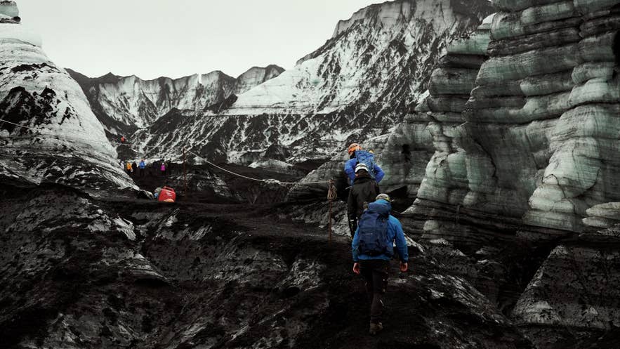
You may explore public viewpoints and roads around Katla independently, but you should not enter the glacier or ice caves without the necessary experience and equipment. SafeTravel warns that Icelandic glaciers are constantly moving and crevasses can appear with limited warning.
Before setting out, follow these tips to prepare for both the journey to the meeting point and conditions during the guided experience:
-
Stay with your guide and follow the selected route.
-
Do not climb on ice, enter closed areas, or explore a cave alone.
-
Wear warm layers, waterproof outerwear, gloves, and sturdy boots.
-
Keep away from unstable ice edges, meltwater channels, and crevasses.
-
Check road conditions and weather conditions before traveling.
-
Review SafeTravel's glacier safety advice and current alerts.
Guides inspect the weather, glacier, and cave before each visit. These checks determine how the day's tour proceeds:
We check the conditions every day and choose the safest route and cave for that day. If something isn't safe, we don't go there.
Top Attractions Near Katla Volcano
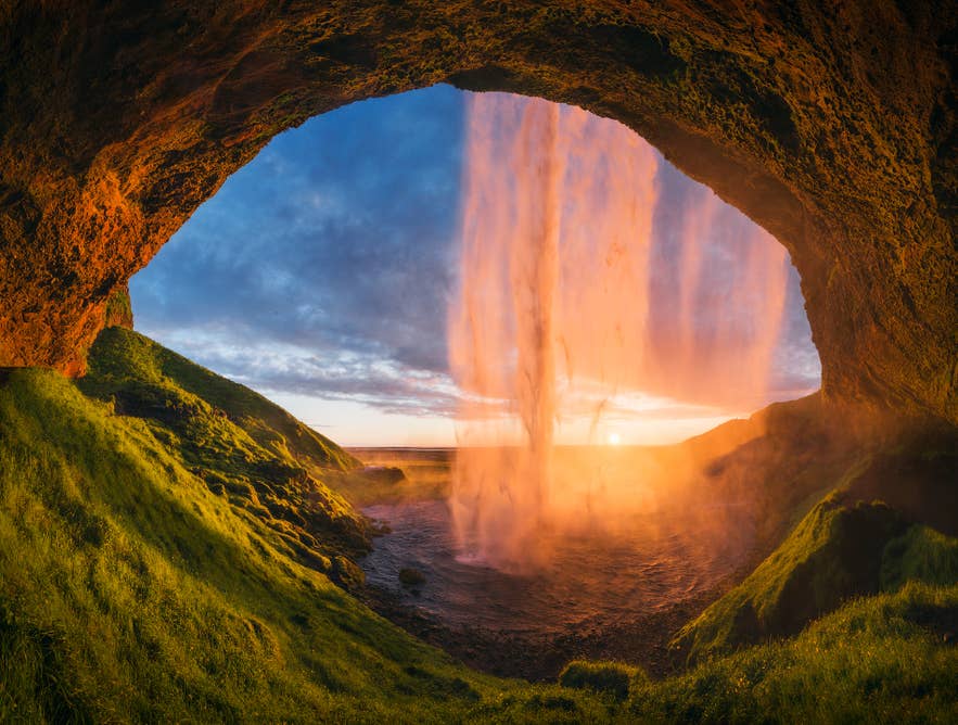
Katla's South Coast location makes it possible to combine the area with waterfalls, glacier scenery, and coastal landmarks. Nearby and en-route attractions include:
-
Seljalandsfoss Waterfall: Walk behind its narrow cascade when the path is open, but expect plenty of spray.
-
Skogafoss Waterfall: View the powerful 197-foot (60-meter) drop from below or climb the staircase for a view from above.
-
Solheimajokull Glacier: See an outlet of Myrdalsjokull from the glacier parking area or join a guided hike onto the ice.
-
Dyrholaey Peninsula: Look across the black-sand coastline from this elevated headland near Vik.
-
Reynisfjara Black Sand Beach: See basalt columns and the Reynisdrangar Sea Stacks, while keeping well back from its dangerous sneaker waves.
-
Katla Geopark: Explore the wider region to see how volcanoes, glaciers, floods, and the ocean have shaped South Iceland.
Best Places To Stay Near Katla Volcano
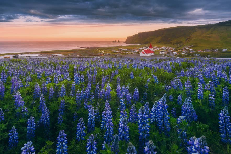
Vik is the closest town and a convenient base for Katla tours that start there. It has hotels, guesthouses, restaurants, and meeting points for several glacier and ice cave excursions.
Travelers can also consider accommodations in Hvolsvollur or hotels in Hella, both farther west along Route 1. These towns can suit travelers dividing the South Coast journey into shorter driving days.
Staying in accommodations in Reykjavik works well for travelers joining a full-day Katla tour with transportation from the capital.
Planning Your Trip to Katla in Iceland
Katla Volcano is best understood through the South Coast landscapes it has shaped. Travelers cannot drive to its ice-covered caldera, but they can see Myrdalsjokull Glacier and join Katla tours onto parts of the glacier above the volcanic system.
Choose between a shorter Katla Ice Cave tour from Vik and a full-day South Coast tour from Reykjavik based on your itinerary. Check weather conditions and road conditions before traveling, and allow flexibility if conditions require guides to change the planned route.
