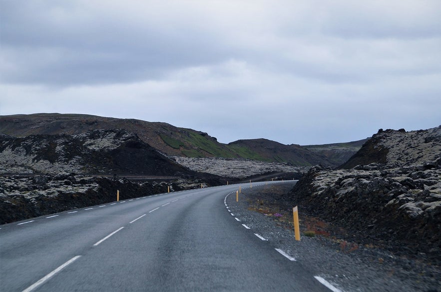
Ögmundarhraun is a lava field on the southern side of the Reykjanes Peninsula, which was formed by an enormous lava flow during an eruption in 1151 AD.
Explore this area on a self drive tour in Iceland.
Por Qué Puedes Confiar en Nuestro Contenido
Guide to Iceland es la plataforma de viajes más fiable de Islandia, que ayuda a millones de visitantes cada año. Todo nuestro contenido está escrito y revisado por expertos locales que conocen profundamente Islandia. Puedes confiar en nosotros para obtener consejos de viaje precisos, actualizados y fiables.
Photo from Wikimedia, Creative Commons, by Alexander Grebenkov. No edits made.
When Ögmundarhraun was still a burning liquid, it incinerated farms and houses in the area. It remains possible, however, to see some of the remains from the destruction, particularly near the beach Selatangar, a haunted and long-since abandoned fishing outpost.
This lava field can be found between the popular Krýsuvík geothermal area and the abandoned farm Ísólfsskáli. Its name originates from the Icelandic male name, Ögmundur.


