
Eldborg is a crater on the base of the Snæfellsnes Peninsula that it is possible to hike to the top of and around. It is 60 metres (197 feet) tall.
Why You Can Trust Our Content
Guide to Iceland is the most trusted travel platform in Iceland, helping millions of visitors each year. All our content is written and reviewed by local experts who are deeply familiar with Iceland. You can count on us for accurate, up-to-date, and trustworthy travel advice.
Explore this crater on a tour of the Snaefellsnes Peninsula.
Formation of Eldborg
Eldborg is located on a short volcanic rift, just 200 metres (656 feet) in diameter, and 50 metres (164 feet) deep. It is the largest crater on this rift, and was created in an eruption which occurred somewhere between 5000 and 6000 years ago. Unlike many of Iceland’s volcanoes, it has a very classic shape, with smooth sloping sides and a very definite crater.
Elborg is a spatter cone. This means that it erupted explosively, hurtling highly viscous lava into the air that would land back onto the crater in a semi-solid, ‘taffy’-like state. This would ooze down the sides of the crater, welding thick blobs of rock together to provide a unique appearance.
Like most other spatter cones, the sides of the Elborg crater are wall-like, although the feature is much larger than most of its other counterparts around the world. Of the five craters in this area, it is by far the greatest.
Ravens are often seen nesting inside the pockets of lava in the walls of the crater.
Hiking at Elborg

Elborg is situated in a large plain of lava, being the only prominent feature rises from it for several miles. It requires a 2.5 kilometre (1.5 mile) hike to reach, and is most accessible in summer, when the path is clear of snow.
This hike is largely across flat ground, although unpaved. The path up to the top is rather steep, but chains are on site to help those who are losing energy.
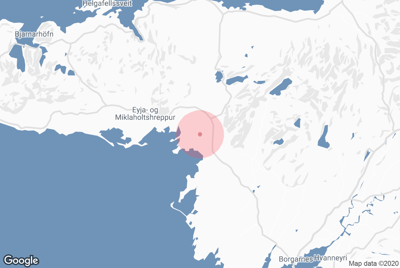
To reach Eldborg from Reykjavík is easy. Guests simply have to take Route 1 North, passing through the Hvalfjörður Tunnel, before turning left onto Route 54 at the town of Borgarnes. Turn right at Route 55, and the crater will be clearly visible.
This journey takes about two hours, but puts you right on the edge of the Snæfellsnes Peninsula, making it easy to visit other incredible sites such as Rauðfeldsgjá Gorge, the Lóndrangar sea stacks, Kirkjufell Mountain, and Snæfellsjökull glacier and National Park.


