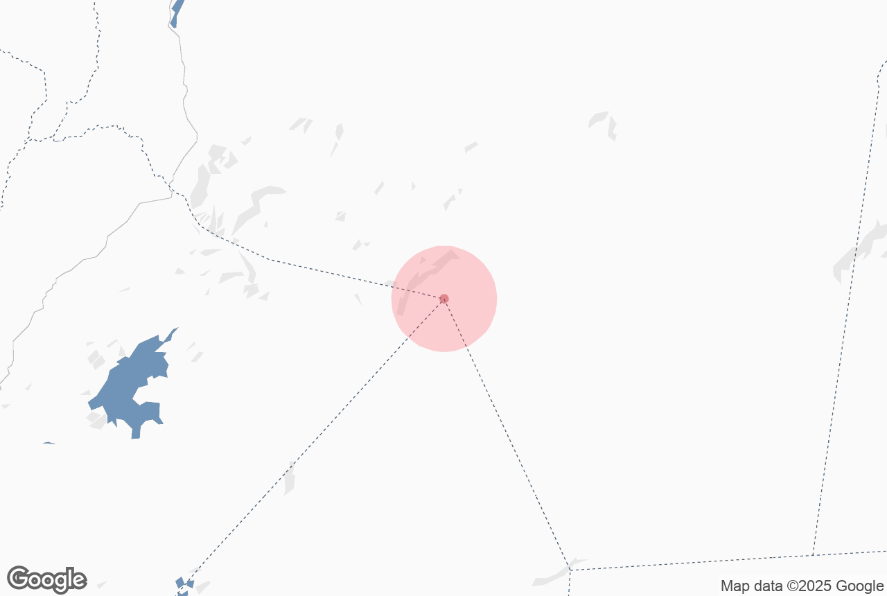

The stratovolcano Bardarbunga is Iceland’s second-highest mountain and lies under the icecap of Vatnajokull, Europe’s largest glacier.
Explore this area while on a self drive tour in Iceland or discover a wide range of mountain tours.
Perché puoi contare sui nostri contenuti
Guide to Iceland è la piattaforma di viaggi più affidabile d’Islanda, che ogni anno aiuta milioni di viaggiatori. Tutti i nostri contenuti sono scritti e verificati da esperti locali con una conoscenza approfondita del Paese. Potete contare su di noi per consigli di viaggio accurati, aggiornati e affidabili.
Bardarbunga lies on the glacier’s northwest side and rises to a height of 2009 meters. It is Iceland’s largest volcanic system, around 200 km long and up to 25 km wide. Bardarbunga’s caldera measures 70 km2, up to 700 m deep and 10 km wide. The base is on average about 1100 meters but the surrounding edges may rise as high as 1850 meters.
The volcano has erupted every 250-600 years. The largest eruption on earth occurred there some 8500 years ago. In more recent times, there have been several subglacal eruptions, the last one occurring in 1864. Some connection may also exist between activity in Bardarbunga and the Grimsvotn volcano.
The 2014 Holuhraun eruption was caused when lava travelled from Bardarbunga's magma chamber.
Frequent earthquakes indicate that Bardarbunga might erupt again and it is being closely monitored by The Icelandic Meteorological Office.


