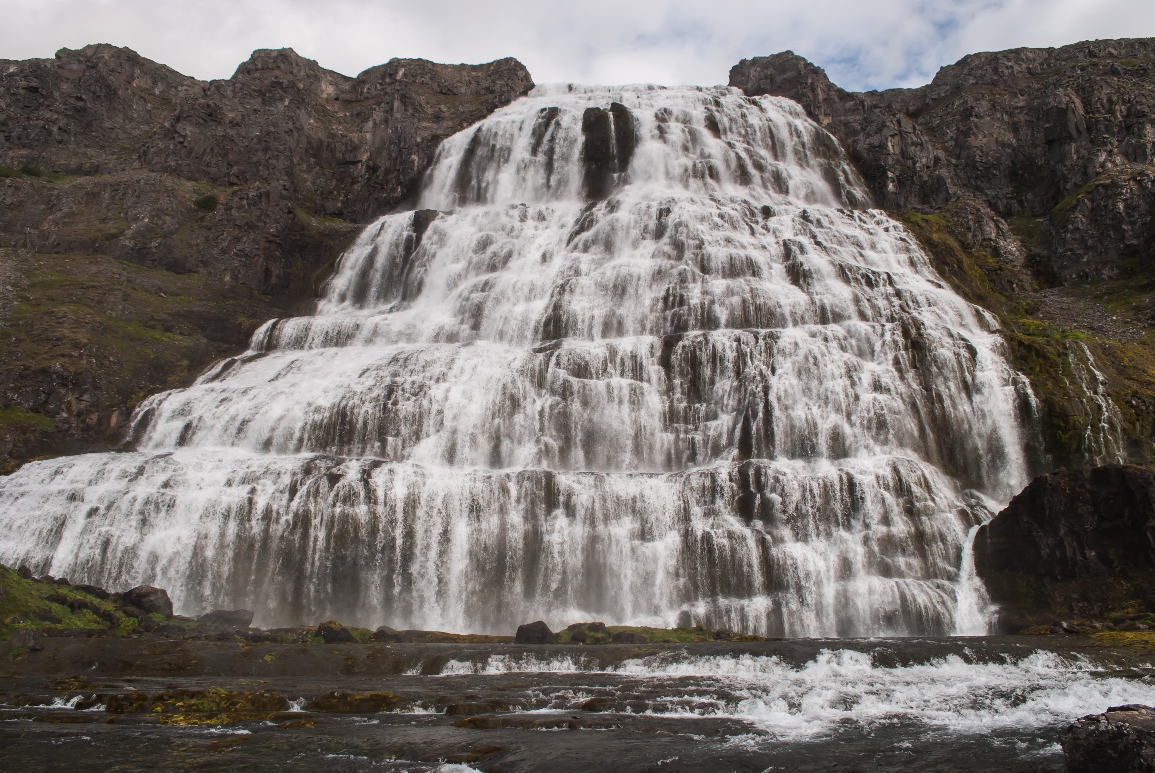
Day 7 of 3 week Iceland trip, most dangerous road on Iceland

Follow my wife and me on a 3-week trip of Iceland.
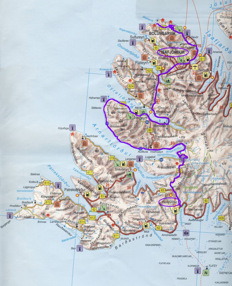
Day 7 in Iceland: From Ísafjörður to Flókalundur (216 km).
In the evening my wife read to me about route 622 in our Dutch travel-guide.
“The road they forgot to add the F.
If you have a Jeep, 4x4 experience, time and steel nerves, It is possible to drive the track from Þingeyri via Svalgahamar, Lokinhamar and Alftamyri.” (Willem van Blijderveen)
She knew immediately this was a mistake, I would want to go there.
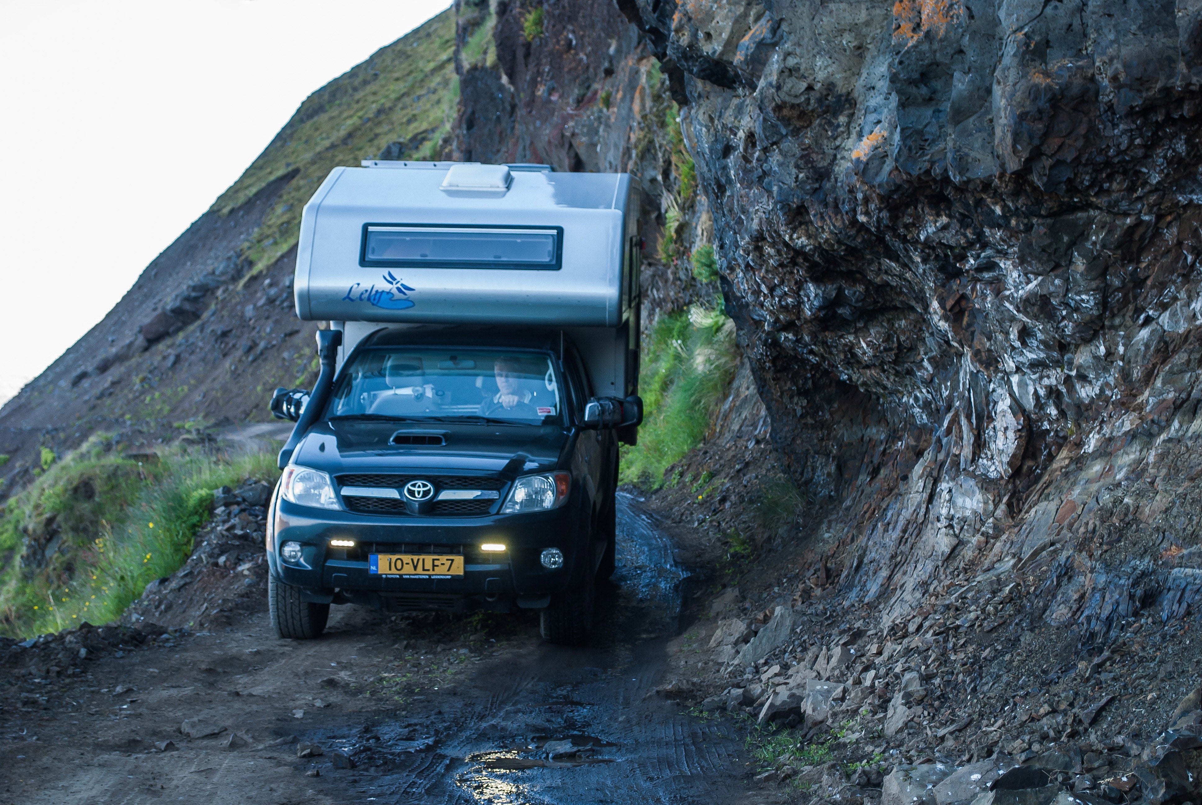
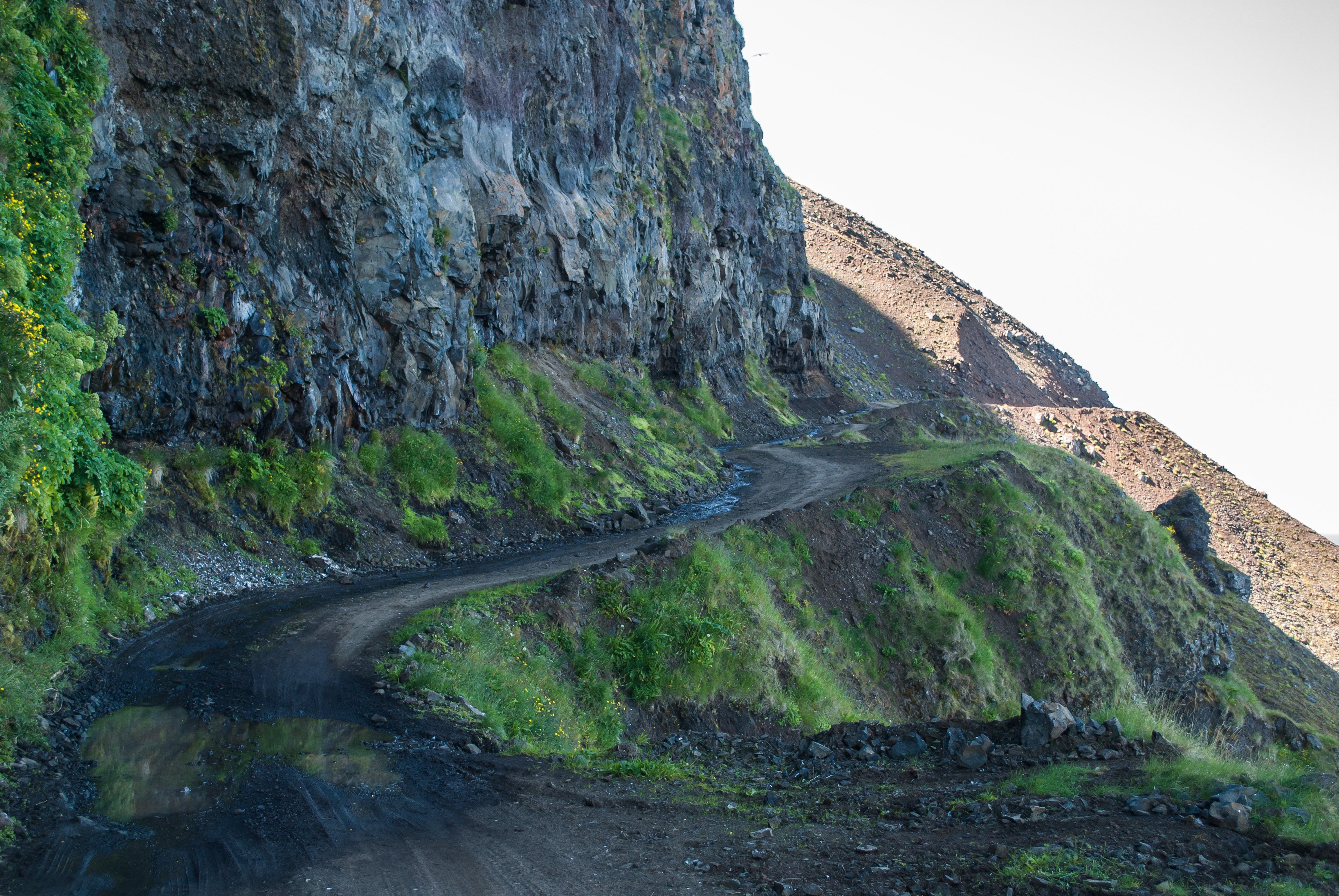
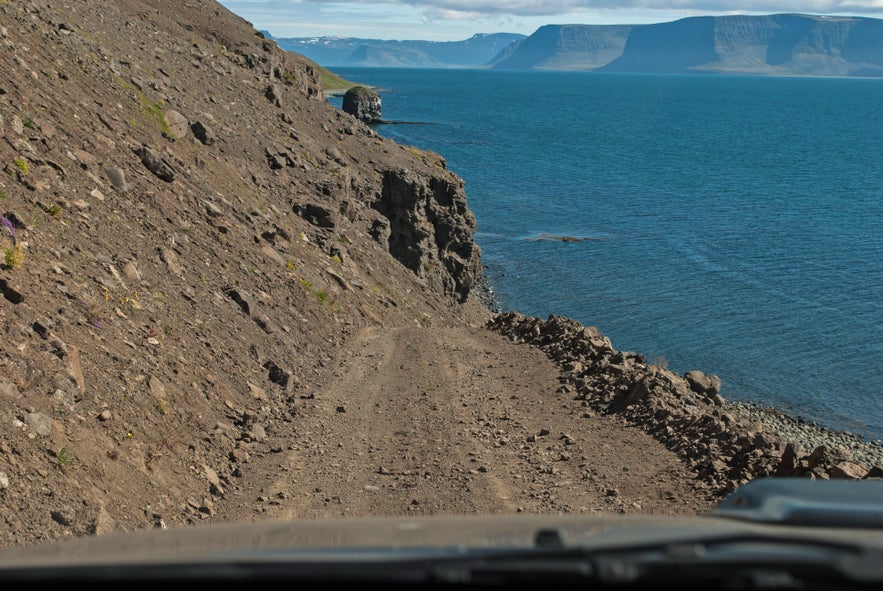
Route 622 can be found on Internet as one of the most dangerous roads in the world. Some people say it is the most terrifying road in the country. It is a beautiful route to take with the road carved into and under cliffs and great mountain views all the way.
The road is 22 km long. To drive on this road you need a 4x4 with high ground clearance. It's a loose rocky track, and sometimes muddy, and you have to go on low tide on the south part of it.
At the other end of the road was a road sign “ófært” meaning impassable.
Having driven this road, I can only conclude this was one of the highlights of our trip.
There was very little traffic, in case of a problem you have to be self-reliant.
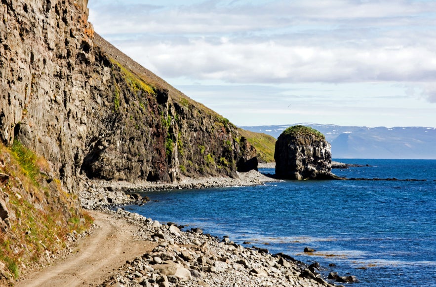
There were a lot of flies, so after walking up and down we continued to Flókalundur to camp overnight.
The Hotel next to the camping had a nice restaurant and we spoiled ourselves.
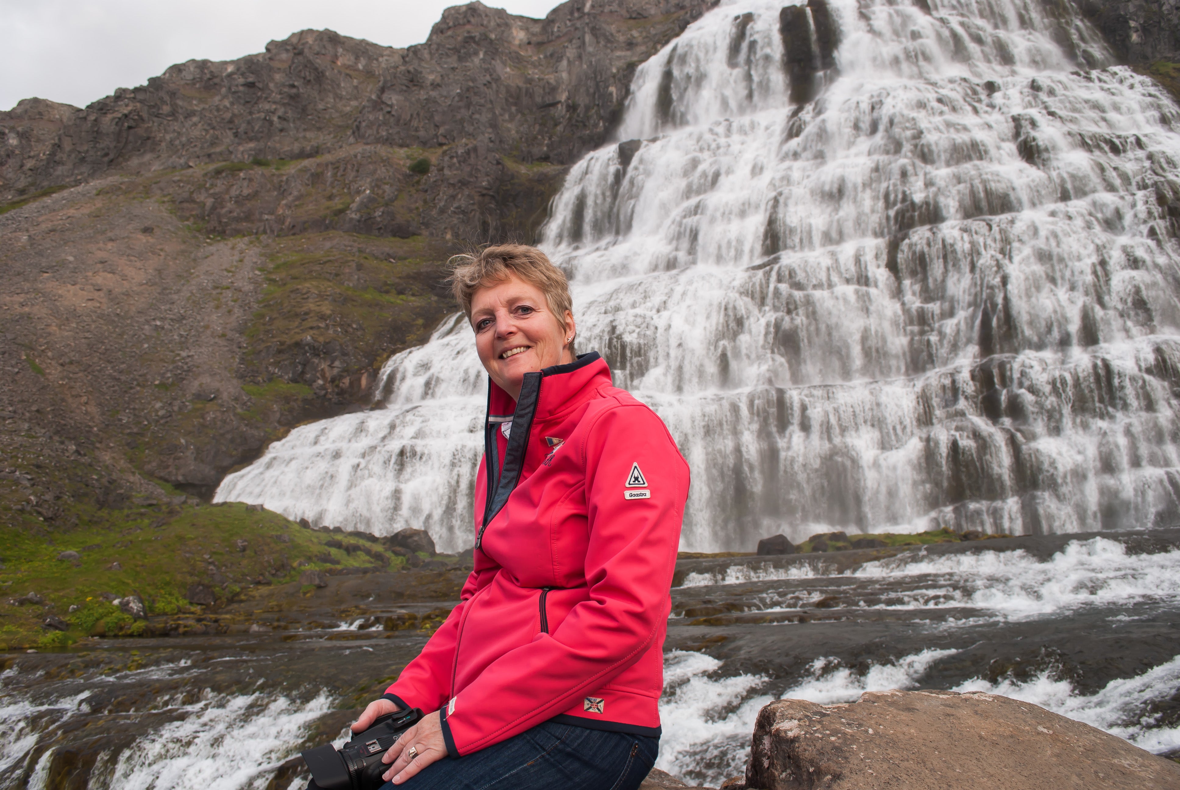
Check out some guided tours of this most dangerous road in Iceland: Crown Jewel; Kjaran's Avenue & Dynjandi - jeep tour and Svalvogar Cliffs in a super jeep.
기타 흥미로운 블로그

아이슬란드 공항으로의 첫 발
아이슬란드라는 낯선 나라에 도착하여 가장 먼저 마주하는 것이 공항이죠. 여행의 시작인 공항입국을 무사히 잘 할 수 있도록, 도움이 될만한 정보들을 제 경험을 통해 짚어보실 수 있습니다! 내가 도착하는 아이슬란드의 공항은? 도착하면 어디로 가야 할까요? 아이슬란드어와 영어만이 존재하는 이 낮선 곳에서 어떻게 여행을 시작할까요? 도착 공항 케플라비크 공항?더 보기
스나이펠스네스 반도 당일 투어 후기 - 아이슬란드의 아름다운 서부!
아이슬란드를 여행하면서 가장 많은 사람이 방문하는 곳은 남부해안인데요. 그 보다 가까운 거리이지만 아주 멋진 서부지역, 아이슬란드의 축소판이라 불리는 스나이펠스네스 반도를 다녀왔어요! 정말 멋진 여행이었습니다! 먼저 스나이펠스네스 반도는 아이슬란드의 어디쯤에 위치해 있는지 지도로 살펴볼까요? 스나이펠스네스 지도상의 위치 레이캬비크가 아이슬란드의 남더 보기
아이슬란드 빙하를 탐험하다! - 솔헤이마요쿨 빙하하이킹
오늘은 솔헤이마요쿨 빙하에서 빙하하이킹 투어를 하는 날이에요. 드뎌 빙하 위를 걸을 수 있다는 설렘으로 아침을 시작했어요! 솔헤이마요쿨은 레이캬비크에서 약 두 시간 좀 넘는 거리에 있는 빙하로, 미르달스요쿨 빙하의 일부입니다. 1번 국도에서 지나가다 보면 보이는 빙하설 (빙하가 혀를 내밀고 있는 것처럼 지상으로 주욱 내려와 있는 모양)이기도 한데요.더 보기

아이슬란드 최대의 여행 마켓플레이스를 전화에 다운로드하여 전체 여행을 한 곳에서 관리하세요
전화 카메라로 이 QR 코드를 스캔하고 표시되는 링크를 누르면 아이슬란드 최대의 여행 마켓플레이스를 주머니에 넣을 수 있답니다. 다운로드 링크가 포함된 SMS 또는 이메일을 받으려면 전화번호 또는 이메일 주소를 추가하세요.
