
Dyrfjöll is a series of mountains within a great mountain range that rests between fjord Borgarfjörður Eystri and the municipality Fljótsdalshérað in East Iceland.
The mountains get their name from their most famous feature; a large gap called Dyr which translates to “door”.
저희의 콘텐츠를 신뢰할 수 있는 이유
가이드투아이슬란드는 아이슬란드에서 가장 믿을 수 있는 여행 플랫폼으로, 매년 수백만 명의 여행객이 저희와 함께 아이슬란드를 방문합니다. 저희의 모든 콘텐츠는 아이슬란드를 누구보다 잘 아는 현지 전문가들이 작성하고 검토하므로, 정확하고 신뢰할 수 있는 최신 여행 정보만 제공합니다.
Explore this area while on a self drive tour in Iceland.
Geology and Surroundings
The mountains’ highest peak reaches 1,136 metres (3,727 feet) above sea level. The mountains are central volcanoes with two major silicic phases of activity that produced a myriad of calderas which are brightly visible throughout the volcanic field. Just below Dyrfjöll lies Stórurð, one of the highlights of East Iceland, which consists of large tuff boulders, scenic ponds and meadows. The area can be reached through the pass of Vatnsskarð.
Hiking
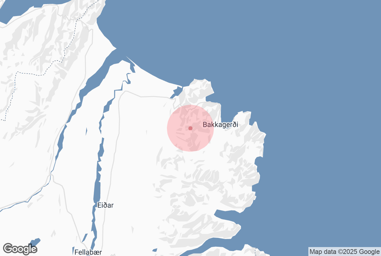
Hiking through Dyrfjöll is considered challenging, but very awarding. The hike usually begins just outside the town Jökulsá við Bakkagerði. The route begins calmly enough, but as you reach higher levels, you are greeted with steep ridges filled with permanent patches of snow. The hike goes all the way up to the specific mountain of Ytra-Dyrfjall, but only the experienced few reach its peak. The first time in recorded history in which the peak was reached was in 1952.
When hiking in Iceland, always remember to prepare and submit your travel plan here.


