유형
문화적 명소, 해변, 조류 관찰지
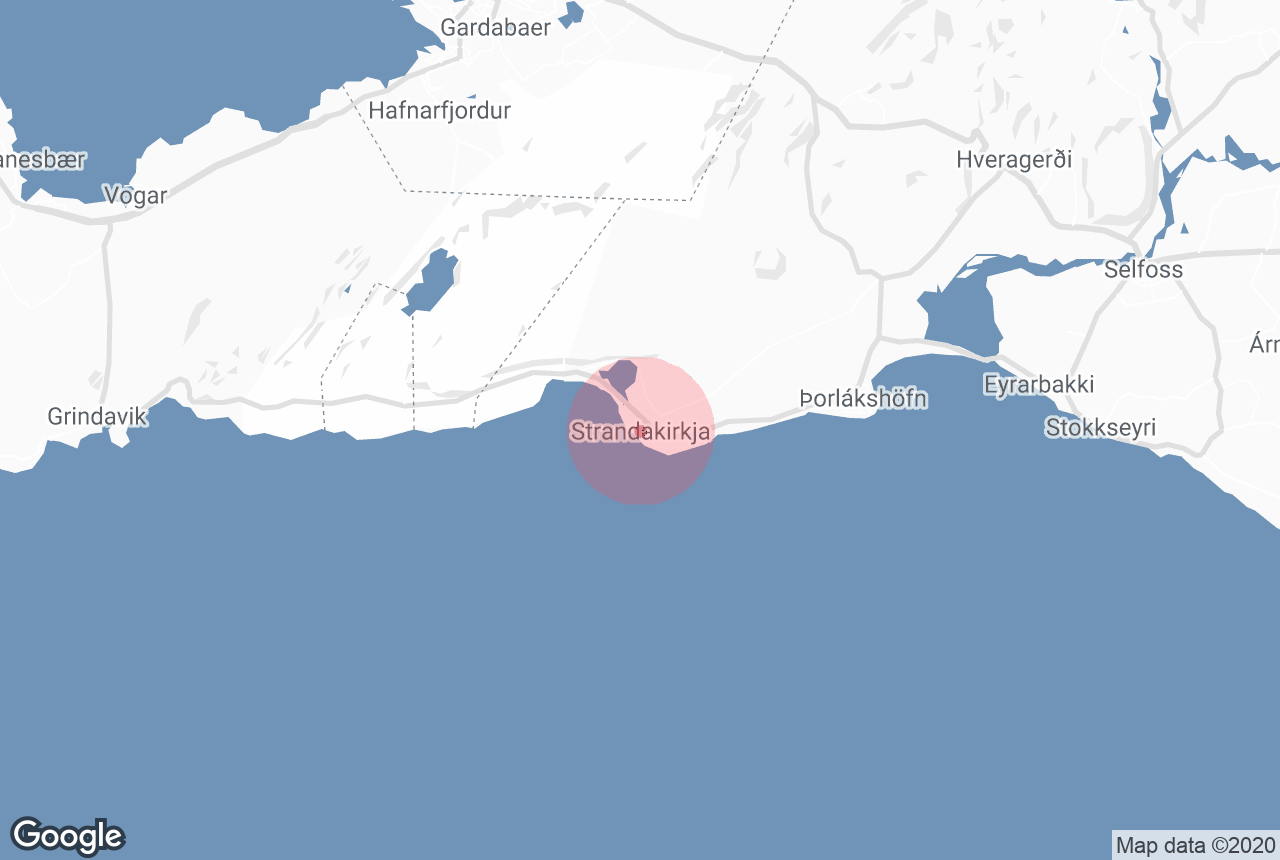
위치
Unnamed Road, Iceland
중심으로부터의 거리
15.3킬로미터
성수기
Summer and Winter
가족 친화적
네
평균 평점
9.4
후기 수
531

This church is located 15 minutes drive eastwards from Krysuvik, by the sea is the old church Strandarkirkja in Selvogur. The sea waves there are breathtaking.
Photo above from Wikimedia, Creative Commons, by TommyBee. No edits made.
저희의 콘텐츠를 신뢰할 수 있는 이유
가이드투아이슬란드는 아이슬란드에서 가장 믿을 수 있는 여행 플랫폼으로, 매년 수백만 명의 여행객이 저희와 함께 아이슬란드를 방문합니다. 저희의 모든 콘텐츠는 아이슬란드를 누구보다 잘 아는 현지 전문가들이 작성하고 검토하므로, 정확하고 신뢰할 수 있는 최신 여행 정보만 제공합니다.
This area offers some of the most awe-inspiring breaker waves that you are likely to see. The church itself has been central in Icelandic seamen’s prayers for centuries and is definitely worth a visit.
Explore this area while on a self drive tour in Iceland.


