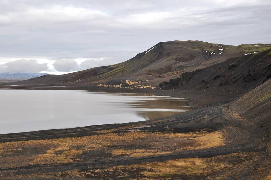
Sandkluftavatn from Route 52. Photo: Vincent van Zeijst, CC BY-SA 3.0
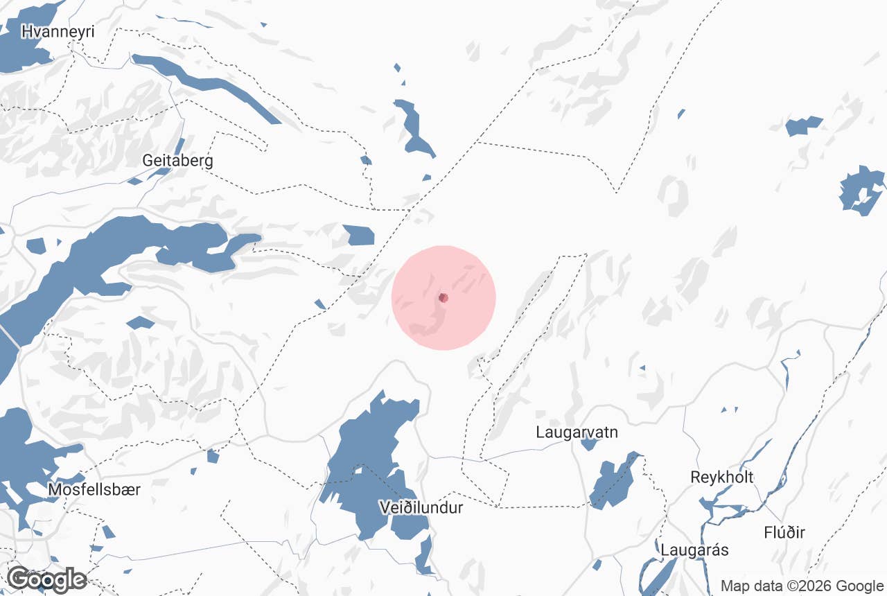
Sandkluftavatn is a small, seasonal lake beside Route 52 (Uxahryggjavegur) a few kilometres north of Þingvellir National Park, on the way to the Kaldidalur highland road. The name is taken from Sandkluftir, the sandy pass recorded in the national place-name register just south of the lake (vatn means lake).
It sits at roughly 280 m above sea level in Bláskógabyggð municipality, in a shallow basin of black sand and gravel below the slopes of Ármannsfell mountain.
Most people see it from a car or bus window on the drive between Þingvellir and Húsafell; it is not a destination in itself, but it is a good place to stop, stretch your legs and take in the first real highland scenery north of the national park.
Key Takeaways About Sandkluftavatn
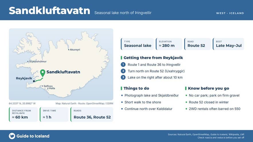
- A shallow seasonal lake at roughly 280 m below Ármannsfell mountain; full of meltwater in early summer, sometimes almost dry by late summer.
- About 10 km north of the Þingvellir service centre on Route 52 (Uxahryggjavegur), roughly 60 km and an hour from Reykjavík.
- Route 52 is a mountain road, closed in winter; the Kaldidalur road (550, formerly F550) branches off further north.
- No car park, facilities or fee; pull well off the road onto firm gravel.
- Best seen from late May to July when the basin is full.
Why visit Sandkluftavatn
Sandkluftavatn is interesting precisely because it is not always there. It fills with snowmelt in spring and early summer and, in dry years, can shrink to a pale sandy flat with a few pools by late summer; in wet years it stays full well into autumn.
Photos from the same spot in different years show a full lake, a half-empty one, and an almost dry bed. The basin has no visible outlet, so the water drains away through the porous volcanic ground, the same way the lava fields of Þingvellir soak up rain and feed the springs of Þingvallavatn.
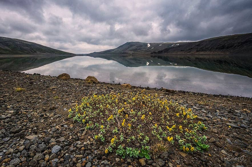
Sandkluftavatn full of meltwater in June. Photo: Ævar Guðmundsson, CC BY 2.0
The setting is stark. The lake lies between the slopes of Ármannsfell to the south-west and low hills to the north, with the smooth dome of Skjaldbreiður, the shield volcano whose lavas built the Þingvellir plain around 9,000 years ago, rising to the north-east.
Moss and low scrub cling to the hillsides, while the lake bed itself is bare black sand and gravel. On a still day the water mirrors the hills; on a windy day it is grey and choppy. It is a landscape that already feels like the central highlands, even though you are only about an hour from Reykjavík.
For road-trippers, Sandkluftavatn also marks the transition from the national park to the mountain section of Route 52 and, a little further north, to the Kaldidalur track (Route 550).
Kaldidalur ("the cold valley") is the shortest of the old routes across Iceland's interior; the highest point of its road, Langihryggur ridge, is 727 m above sea level, and the route was cleared in 1830.
Cyclists and drivers heading that way often make Sandkluftavatn their last easy stop.
How to get to Sandkluftavatn
From Reykjavík, drive Route 1 east and Route 36 to Þingvellir; the Route 52 junction near the north end of Þingvallavatn lake is about 50 km from the city. Turn north there on Route 52 (Uxahryggjavegur).
The road climbs steadily through the lava fields with views back over the lake; Sandkluftavatn appears on the right about 10 km north of the Þingvellir service centre, roughly 60 km and just over an hour from Reykjavík. The nearest services are at Þingvellir.
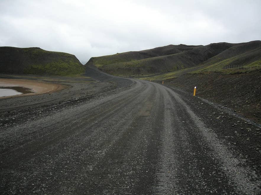
Gravel road beside Sandkluftavatn. Photo: Syced, CC0
Route 52 is partly paved and partly gravel, and it is a mountain road: drive slowly on the gravel sections, and expect it to be closed in winter and sometimes into late spring. The Kaldidalur road (Route 550, formerly F550) branches off Route 52 north of the lake.
It is no longer classed as an F-road, so a 4x4 is not legally required, but most rental contracts still forbid taking two-wheel-drive cars onto it. Check road.is for the current status of Route 52 and F550 before you set off.
There is no formal car park. Pull well off the road onto firm gravel; the lake shore is only a short walk from the road.
Best time to visit
To see Sandkluftavatn as a lake, come in late spring or early summer, from about late May to July, once Route 52 has opened and while meltwater is still filling the basin.
By August and September the water level is often much lower, and in dry years the lake can be mostly dry. Autumn colours on the hillsides can be striking in September and October, but check that the road is still open.
In winter the road is closed and the area is not accessible by ordinary car.
Safety and practical tips
- There are no facilities at the lake: no toilets, shelter or shop. The nearest are at Þingvellir National Park.
- The ground around the lake is soft sand in places and can hide wet patches; keep to firm gravel and do not drive off the road.
- Weather changes quickly at nearly 300 m elevation. Bring a windproof jacket even in summer.
- Mobile coverage is patchy north of Þingvellir.
- If you plan to continue onto Kaldidalur (Route 550), check your rental terms and the conditions on road.is first. Kaldidalur is usually open only from early summer to early autumn.
- There is no entrance fee. Þingvellir National Park charges for parking in its own car parks, but not here.
Nearby attractions
- Skógarhólar Lodge – 6 km
- Þingvellir National Park – 11 km
- Öxarárfoss – 10 km
- Almannagjá – 10 km
- Silfra – 10 km
- Hvalvatn – 10 km
Tours that visit Sandkluftavatn
- Private 9-Hour Langjokull Glacier And West Iceland Tour with Super Jeep Transfer From Reykjavik – this super jeep day tour drives through Þingvellir National Park and past Sandkluftavatn lake on its way north to Húsafell and the man-made ice tunnel in Langjökull glacier; Kaldidalur valley is among the places the tour lists.
