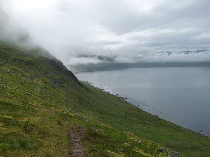
Trail above Hornvík bay in fog. Photo: Smiley.toerist, CC BY-SA 4.0
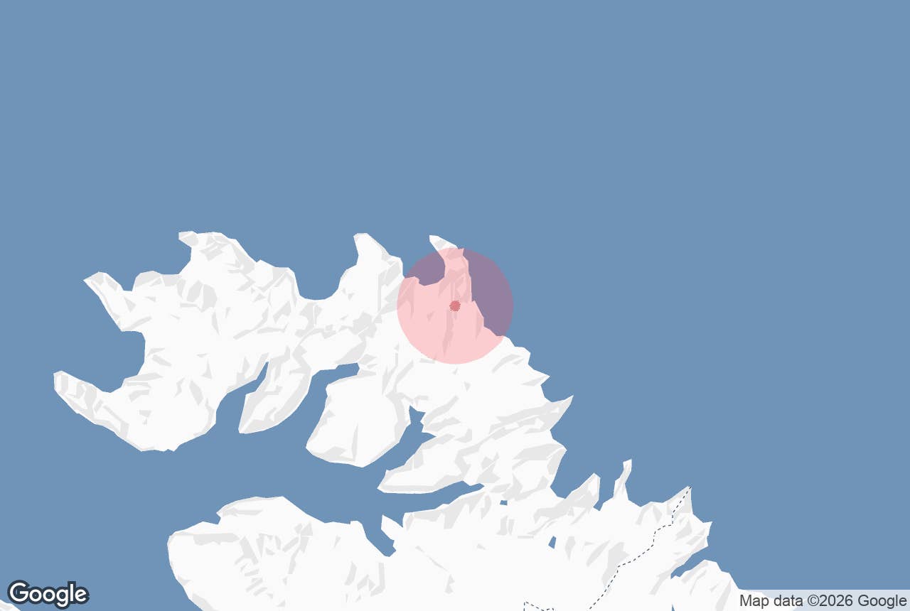
Kýrskarð is a mountain pass in the Hornstrandir Nature Reserve, on the ridge that separates the bay of Hornvík from the small cove of Látravík, where the Hornbjargsviti lighthouse stands at the foot of the Hornbjarg bird cliff.
The name means "Cow Pass"; the river that drains from it into Hornvík is Kýrá, "Cow River". It is one of three passes on the east side of Hornvík, the others being Hestskarð and Almenningaskarð, and together with Almenningaskarð it makes the classic loop walk between the Hornvík campsite and the lighthouse.
Key Takeaways About Kýrskarð
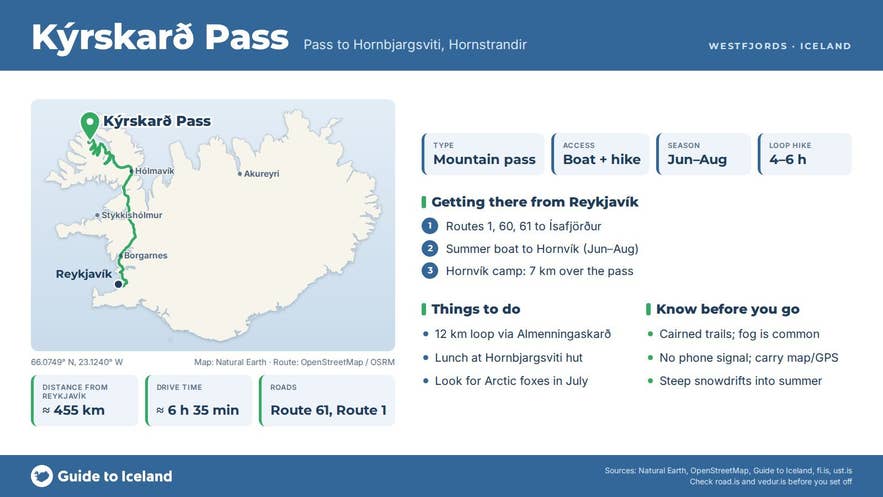
- Kýrskarð is the pass between Hornvík bay and Látravík cove (Hornbjargsviti lighthouse) in the Hornstrandir Nature Reserve; no roads lead there.
- Access is by summer boat from Ísafjörður, Bolungarvík or Norðurfjörður to Hornvík or Látravík, mid-June to late August.
- Hornvík campsite to the lighthouse over Kýrskarð is roughly 7 km; the loop with Almenningaskarð is 12–15 km, 4–6 hours.
- Trails are cairned, fog is common and there is no phone signal; snow lingers in the passes well into summer.
- Ferðafélag Íslands runs Hornbjargsviti as a 40-bed hut; group size on the east side is limited to 15.
Why visit Kýrskarð
Hornstrandir is the roadless far north of the Westfjords, protected since 1975 and uninhabited since the last farms in Hornvík were abandoned in the 1940s.
Kýrskarð is how walkers based at Höfn in Hornvík reach Látravík and the lighthouse, and how guests at the lighthouse get into Hornvík. From the campsite the route follows the Kýrá river inland and climbs to the notch in the ridge, then drops into Látravík.
Looking back from the pass you have the whole sweep of Hornvík below you, framed by the two great bird cliffs: Hælavíkurbjarg to the west and Hornbjarg to the east, with the peaks of Kálfatindur (534 m) and Jörundur (429 m) above.
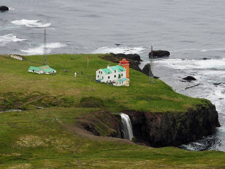
Hornbjargsviti beyond Kýrskarð. Photo: RagnarHeidar, CC BY 4.0
Látravík itself has a story. The cove was not farmed until 1872, when Jóhann Halldórsson settled there; he is counted as Iceland's last settler because Látravík was the last land measured out of common grazing. The farm was abandoned in 1909.
The lighthouse house was poured in a single summer, with all materials except the local stone hauled in by boat and hoisted up the cliff by hand, and keepers lived here from 1930 until 1995.
Today Ferðafélag Íslands, the Icelandic Touring Association, runs the big house as a hut for up to 40 people in seven rooms; in an average year it is open from mid-June to early August according to Ferðafélag Íslands, while the Environment Agency gives late June to August, so check fi.is for the current season.
Wildlife is the other reason to come. Arctic foxes den along the cliffs and are often seen hunting for their cubs in July. Hornbjarg is one of Iceland's largest seabird cliffs, with guillemots, Brünnich's guillemots, kittiwakes and fulmars in very large numbers, and puffins and razorbills among them. Polar bears have occasionally drifted or swum here from Greenland.
How to get to Kýrskarð
There are no roads in Hornstrandir.
Access is by scheduled boat in summer from Ísafjörður, Bolungarvík or Norðurfjörður on Strandir, landing at Höfn in Hornvík or directly in Látravík; Sjóferðir says a crossing can take from one hour to two and a half hours or longer depending on the weather, and Hornvík is among the farthest landings.
Overland you can walk in from Ófeigsfjörður on Strandir, which is the shortest land route to the lighthouse.
From the Hornvík campsite at Höfn, the walk over Kýrskarð to Hornbjargsviti is about 7 km. The loop recommended by Ferðafélag Íslands, out over Almenningaskarð and back via Kýrá and Kýrskarð, is about 12 km and takes 4 to 6 hours.
Borea Adventures' guided groups do it the other way, over Kýrskarð first for lunch at the lighthouse, then back along the cliff edge through Almenningaskarð and down Innstidalur to the shore; with the detour to Drífandi waterfall that day is around 15 km with 500 m of ascent.
Trails are marked by cairns rather than posts, and the ridge is often in fog, so carry a map, compass or GPS.
The nearest town is Ísafjörður, roughly 50 km away in a straight line, where Hornstrandastofa, the reserve's visitor centre at Silfurgata 1, is open 8:15 to 15:30 Monday to Saturday from 1 June to 31 August.
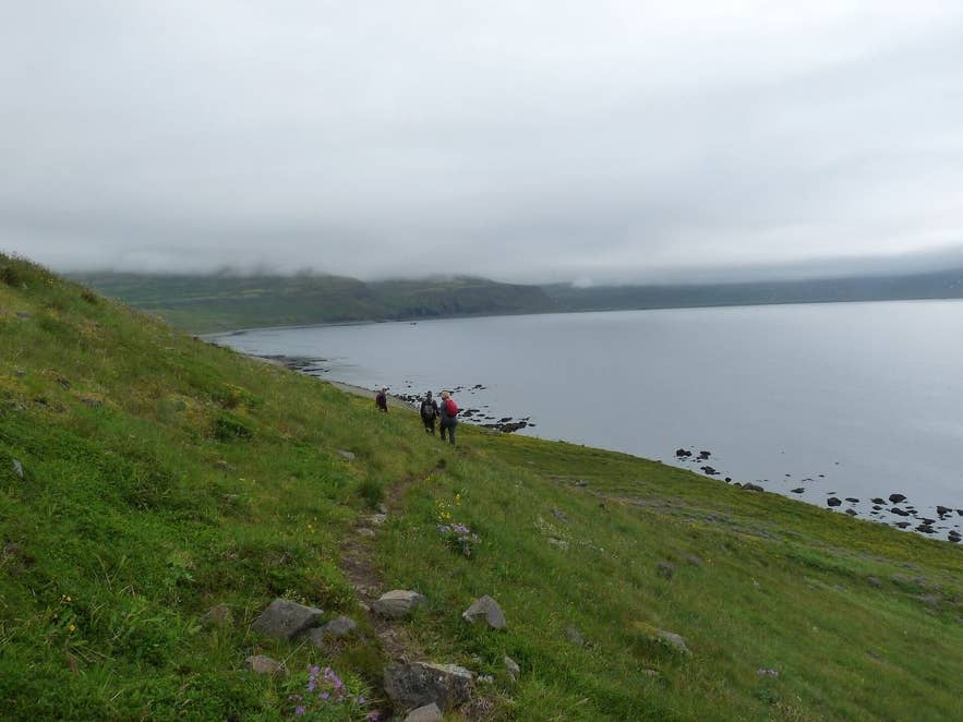
Hornvík bay from Hornbjarg. Photo: Smiley.toerist, CC BY-SA 4.0
Best time to visit
The season is short: scheduled boats run only in summer, roughly mid-June to the end of August (check current timetables), and the lighthouse hut opens in June or at the end of June depending on the year.
Early July is best for birds and fox cubs, but expect steep snowdrifts in the passes well into summer. August has fewer insects and more settled weather, though the birds start leaving the cliffs.
Anyone travelling between 1 March and 15 June or between 1 September and 1 November must register their plans with the Environment Agency.
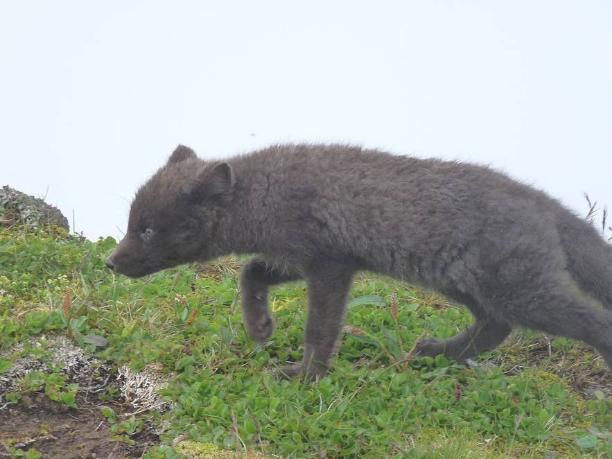
Arctic fox on Hornbjarg. Photo: Smiley.toerist, CC BY-SA 4.0
Safety and practical tips
- Weather changes fast this close to the open Arctic Ocean; fog, cold and rain can arrive within the hour. Carry full waterproofs, warm layers and spare food in case the boat is delayed.
- Snow lingers in the passes into summer and the drifts can be steep, especially in early summer. Rivers rise quickly in rain.
- Camp only at designated campsites (there is one at Höfn in Hornvík and one by the lighthouse in Látravík). Wild camping is not allowed.
- Group size on this eastern part of the reserve is limited to 15 people.
- Carry all rubbish out, do not build cairns or move stones and driftwood, and keep to paths; the vegetation is fragile.
- Leave a travel plan at safetravel.is. There is no phone signal in most of the area, and no shops; Hornbjargsviti offers beds and a campsite in season.
Nearby attractions
- Innstidalur, the valley below Almenningaskarð (3.1 km)
- Hornvík campsite at Höfn (3.6 km)
- Hornvík, the bay (5.7 km)
- Hornbjarg, the 534 m bird cliff (5.8 km)
- Hafnarskardh, the pass to Veiðileysufjörður (6.1 km)
- Drifandi waterfall (6.2 km)
- Haelavikurbjarg, the cliff on the west side of Hornvík (9.8 km)
- Veiðileysufjörður, where the boat lands for the walk over Hafnarskarð into Hornvík (17.2 km)
Tours that visit Kýrskarð
- Once-in-A-Lifetime 3-Day Hiking and Glamping Tour of Hornstrandir Nature Reserve From Isafjordur: day two of this guided tour climbs Kýrskarð from the Hornvík base camp, descends to the lighthouse in Látravík for lunch and returns through Almenningaskarð, Innstidalur and Drífandi.
