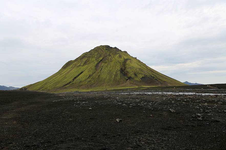
Mælifell on Mælifellssandur. Photo: PeterRYV, CC BY-SA 4.0
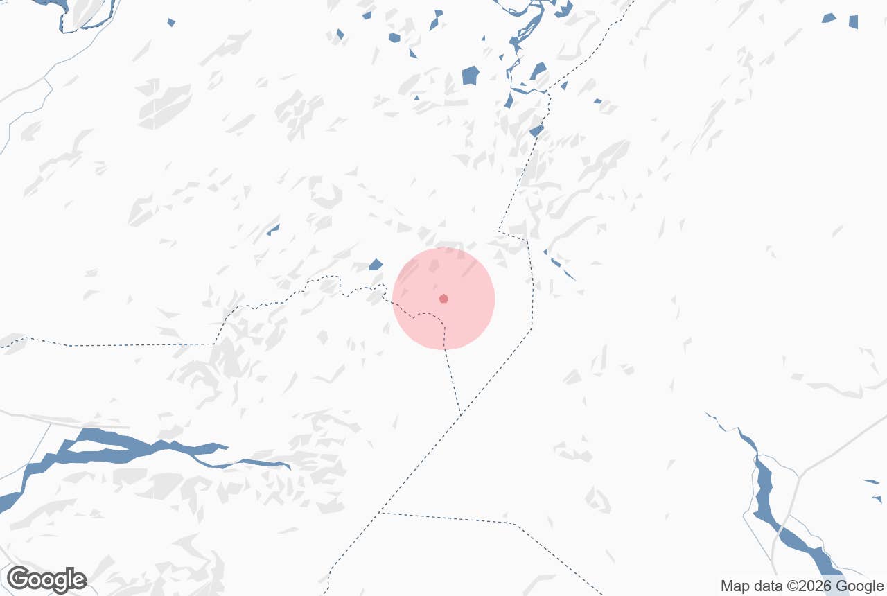
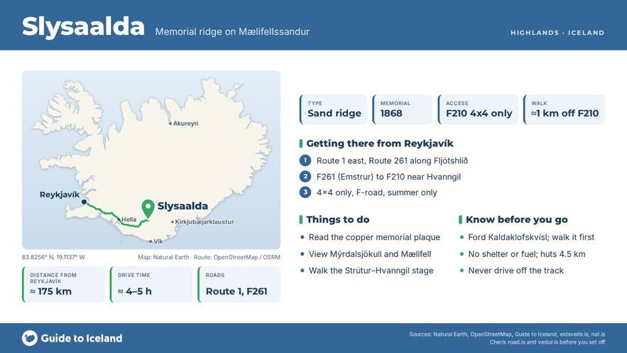
Slysaalda ("accident ridge") is a low ridge of black sand on the western edge of Mælifellssandur, the volcanic desert north of Mýrdalsjökull in the southern highlands of Iceland. It lies just off Fjallabaksleið syðri, the southern Fjallabak route (F210), a little east of the Kaldaklofskvísl river and about 4.5 km from the Hvanngil hut.
The ridge is marked by a copper memorial plaque, fixed to a rock, to four men who died here in a snowstorm in October 1868, and it is a landmark on the Strútur trek between Strútur hut and Hvanngil.
Key Takeaways About Slysaalda
- Low black-sand ridge on the western edge of Mælifellssandur, about 1 km off F210 and 4.5 km east of Hvanngil hut
- Named for four Skaftártunga men who died here in a snowstorm on 11 October 1868; their remains were found in 1878
- A copper memorial plaque on a rock bears their names
- Reached in summer only, by high-clearance 4x4 on F210 (unbridged rivers) or on foot on the Strútur trek / Hólaskjól–Þórsmörk route
- No facilities; nearest huts Hvanngil and Strútur
Why visit Slysaalda
Mælifellssandur is a flat, almost vegetation-free plain at around 600 m above sea level, bounded by Kaldaklofskvísl to the west, the Torfajökull area to the north, Mýrdalsjökull to the south and the Hólmsá river to the east.
Slysaalda is one of the few named landmarks on its western side. From the ridge you see Mýrdalsjökull to the south and the green cone of Mælifell to the south-east.
The name Slysaalda records a tragedy that is still remembered in Skaftártunga.
On 11 October 1868 four men set out from Skaftártunga to cross Fjallabaksleið syðri to Hvanngil and on to Rangárvellir: Þorlákur from Gröf, aged 44 and an experienced highland traveller; Jón Runólfsson, 32, a farmhand; Árni Jónsson, 52, a seasonal farm labourer formerly of Skálmarbær in Álftaver; and Davíð Jónsson, a 17-year-old from Leiðvöllur in Meðalland.
They had four horses and provisions. The wind went round to the south-west with hard snow squalls as they climbed, and the party vanished somewhere between Skiptingaralda and Hvanngil.
Search parties found the dead horses by a large sand ridge, apparently tied up, with pack-saddle pads strapped on their backs to shelter them, but no trace of the men themselves. The ridge has been called Slysaalda ever since.
Ten years later, in 1878, two men from Rangárvellir sent to look for sheep on Mælifellssandur found four skeletons by a ridge south of Kaldaklof. Þorlákur was identified by his waistcoat with silver buttons, Jón by the garters still fastened on his legs.
The remains were buried together in one coffin at Ásar church. Why they died so close to the shelter at Hvanngil has never been explained. After the accident, traffic on the southern Fjallabak route all but stopped for decades, and travellers used the northern route instead.
The copper plaque with the men's names was later placed at the site by Erlingur Filippusson, a herbalist whose grandfather was Þorlákur's brother.
How to get to Slysaalda
Slysaalda is in the central highlands and can only be reached in summer by a high-clearance 4x4 or on foot.
- By car: Fjallabaksleið syðri (F210) crosses Mælifellssandur and passes within about a kilometre of the ridge. From the west, F210 starts at Keldur on Route 268 off the Ring Road near Hella; the Emstrur road F261 from Fljótshlíð (Route 261) also joins it near Hvanngil. From the east, F210 leaves Route 208 near Hólaskjól in Skaftártunga. Mælifellssandur is about 60 km from Route 1 at Eldvatn and 83 km from Kirkjubæjarklaustur by the eastern approach, and about 7 km from both Álftavatn and Emstrur. The route has several unbridged rivers, including Kaldaklofskvísl near Slysaalda and Hólmsá further east, and the sand is often flooded by meltwater in early summer. There is no marked car park; pull off the track onto firm ground and walk the last stretch. Do not drive off the track, which is illegal and leaves scars for decades.
- On foot: Slysaalda is passed on the Strútur trek stage from Strútur hut to Hvanngil hut, an 18 km day of about 7 hours across the black sand of Mælifellssandur. The same section is part of the longer Hólaskjól to Þórsmörk route, which wades the braided channels of Kaldaklofskvísl just after the ridge. Hvanngil hut, on the Laugavegur trail, is about 4.5 km to the west.
Best time to visit
The F210 track normally opens in late June or early July and closes with the first autumn snow, usually in September or October. Check the opening status at road.is before setting out. July and August are the most reliable months. Guided treks across Mælifellssandur, including the Strútur trek, run in July and August.
Safety and practical tips
- This is a remote highland site with no shelter, water, toilets, phone coverage guarantee or fuel. The nearest huts are Hvanngil and Strútur; the nearest fuel is on Route 1.
- Weather on Mælifellssandur changes fast, and the 1868 accident happened in an October storm. Even in July, carry full waterproofs, warm layers, hat and gloves, food and a map or GPS.
- River crossings are the main hazard for drivers. Kaldaklofskvísl and Hólmsá can rise quickly on warm or rainy days. Never cross alone if you are unsure, and walk the ford first if in doubt.
- Leave a travel plan at safetravel.is.
- The Slysaalda memorial commemorates the four men; treat it with respect and do not move stones or climb on it.
Nearby attractions
- Fjallabaksleið Syðri – about 2.0 km, the F210 highland route that passes the ridge
- Maelifellssandur – about 2.9 km, the black sand plain Slysaalda stands on
- Hvanngil Hut – about 4.5 km, the shelter the four men never reached
- Álftavatn – about 6.6 km, the lake and huts on the Laugavegur trail
- Strútur hut – about 7.0 km, the start of the hiking stage that passes Slysaalda
- Maelifell – about 9.1 km, the green cone that dominates the sandur
- Strútslaug – about 9.9 km, the natural hot spring below Strútur
Tours that visit Slysaalda
- Small-Group 7-Day Highlands Hiking Tour of the Eldgja and Strutur Trails with Reykjavik Transfers crosses Mælifellssandur on day six, walking from Strútur hut past Slysaalda to Hvanngil hut.
