
Litli-Hrutur is a small mountain and the site of a 2023 volcanic eruption in Iceland. It's part of the nearby Fagradalsfjall volcano area, which erupted in March 2021 and August 2022. It's located on the Reykjanes peninsula, close to the town of Grindavik and Keflavik International Airport.
The mountain Litli-Hrutur is about 1024 feet (312 meters) in height and is located close to the picturesque Mt. Keilir and the Fagradalsfjall volcano area. On July 10th, 2023, it became the location of a third eruption in a series of volcanic activity in the vicinity. The eruption ended on August 5th.
Miksi sisältöömme voi luottaa
Guide to Iceland on Islannin luotetuin matkailusivusto ja auttaa vuosittain miljoonia matkailijoita. Kaikki sisältömme on paikallisten asiantuntijoiden kirjoittamaa ja tarkastamaa – he tuntevat Islannin läpikotaisin. Voit luottaa siihen, että saat meiltä ajankohtaista, paikkansapitävää ja luotettavaa matkailutietoa.
You can explore the Reykjanes peninsula as part of a self-drive tour, and you only need a small rental car to do so. You can also enjoy a convenient guided tour of Reykjanes for optimal comfort. There are many places to stay nearby as well. You can find comfortable accommodation in Grindavik or a hotel in Keflavik, the two closest towns to the eruption site. It's also just under an hour's drive from the capital, so you can also simply choose accommodation in Reykjavik.
The 2023 Eruption at Litli-Hrutur

The volcanic eruption at Litli-Hrutur started on July 10th, 2023, just before 5 PM. Locals had been waiting for the event as the nearby area had been shaking with constant earthquakes for about a week. Most were between 3 and 4 on the Richter Scale, but some measured between 4 and 5 M. The strongest one was measured at 5.3 M and was felt all the way to the town of Borgarnes.
The lava flow from the half-mile-long fissure (900 meters) started out much stronger than the previous two eruptions. A hiking path was quickly established, and people started hiking toward the eruption to see it up close. For a few days, when the eruption was at its peak, a cloud of gas emanating from the volcano could be seen as far Snaefellsnes peninsula.
- See more: Complete Guide to the 2022 Eruption of Fagradalsfjall Volcano
- See also: Complete Guide to the 2021 Volcanic Eruption of Fagradalsfjall Volcano
How to Get to Litli-Hrutur
 If you want to see the recent eruption site, there's on main way to get there. You can easily go with your rental car as there are convenient parking lots at the hike starting point. They're about a 30-minute drive from the town of Grindavik and around an hour from Reykjavik. Currently, however, the trip is most safely done with a guided volcano tour.
Authorities on site can help guide you to the best place to park, and don't hesitate to ask them other questions if needed.
The shortest path to Litli-Hrutur is the D-hiking path, also known as Merardalaleid. Be aware that the total journey back and forth will cover just over 12 miles (20 kilometers), so account for that in your journey.
 Other hiking paths are also open, but they will not bring you to Litli-Hrutur volcano. You will, however, be able to see the dramatic sites of the previous two eruptions. You can find more detailed information about the different paths available on the VisitReykjanes website.
History of Litli-Hrutur and Surrounding Area
 Its name Litli-Hrutur translates to "little ram," and it connects to the history of the area, as it was one of the few locations on the central Reykjanes peninsula that offer grassy fields for farm life. Many of the surrounding locations reference this as well, with names relating to grazing animals, such as Meradalir (Valleys of Mares) and Geldingadalir (Valleys of Geldings)
Litli-Hrutur's nearby namesake, called Stori-Hrutur or "big ram," towers above the landscape. It offers some of the best views of the surrounding area, though the rewarding hike can be very challenging.
The surrounding grassy fields and moss of Litli-Hrutur have proved a new challenge following the volcanic eruption, as the fresh lava caused grassfires to spread. Fires were not such a big issue with the previous two eruptions in 2021 and 2022, as the surroundings of Fagradalsfjall are more rugged.
 Before the eruption, Litli-Hrutur offered some hiking trails that made for lovely day trips from the Capital Region. From the top, hikers have a great panoramic view of the surrounding Reykjanes peninsula, though the landscape is rapidly changing with the multiple eruptions of the last few years.
The area has also been the site of tragedy in the past, as there were two plane crashes at Fagradalsfjall, next to Litli-Hrutur, in the Second World War. In 1941, the British Short Sunderland N9023 aircraft crashed into the side of Langholl, the east side of Fagradalsfjall, when returning from a surveillance flight. Of the 13-person crew, three lost their lives.
Two years later, another crash took place after an American B-24 Liberator bomber couldn't land at Keflavik Airport because of bad weather. All but one of the 15-person crew lost their lives in the accident, and in 2018, a memorial monument was raised in the area.
In 2023, the memorial re-opened in a new location because of the volcanic eruptions. You can now find it at the intersection of the roads Reykjanesbraut and Grindavikurvegur, a 15-minute drive from Keflavik Airport and a 40-minute drive from central Reykjavik.
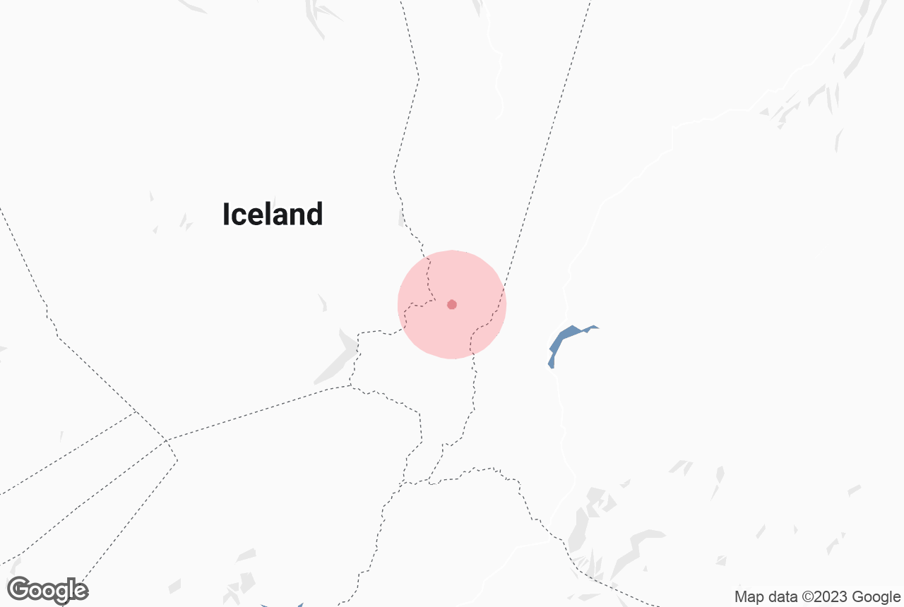
Location on the Reykjanes peninsula

Photo from Small Group 6-Hour Tour of Reykjanes with Blue Lagoon or Keflavik Option & Transfer from Reykjavik
Mt. Litli-Hrutur is centrally located on the dramatic Reykjanes peninsula, where you can find many natural wonders. You can stroll between the tectonic plates of North America and Eurasia at the Bridge Between Continents, a physical testament to Earth's continuous evolution.
A short drive away, you'll find the geothermal area of Gunnuhver, which teems with hot springs and mud pools. The billowing steam clouds, colored by the minerals from the earth, create an otherworldly ambiance, and the ground rumbles under your feet, reminding you of the powerful forces at play beneath the surface.
 For an immersive geothermal experience, you shouldn't miss the Blue Lagoon, globally acclaimed for its azure mineral-rich waters. This geothermal spa, set in the middle of a lava field, offers unparalleled relaxation and rejuvenation, with its warm, silica-laden waters known for their beneficial skin properties.
The peninsula's coastline is equally captivating. Dramatic cliffs plunge into the turbulent Atlantic and the craggy rock formations of Reykjanesviti and the surrounding area offer spectacular views. Here, you'll find one of the country's oldest lighthouses, standing as a solitary sentinel against Iceland's volatile weather, guiding seafarers through the ages.


