Matkaopas: Etelärannikko

The South Coast of Iceland is one of the most popular parts of the country for travelers. South Iceland is lined with countless natural wonders including cascading waterfalls, volcanoes, glaciers and black sand beaches.
There is a whole range of South Coast tours in Iceland that will take you to all the best locations on this stretch.
This incredible South Shore of Iceland stretches from the greater Reykjavík area in the west to the magnificent Jökulsárlón glacier lagoon in the east. It’s possible to incorporate a trip to The Golden Circle before heading South. This is another popular area with visitors to Iceland. Here you can see Þingvellir (or Thingvellir) National Park, the Geysir geothermal area, a volcanic crater called Kerið, and one of Iceland's biggest waterfalls; Gulfoss.
If you want to explore this beautiful region, we recommend booking a hotel in South Iceland to use as a base to travel around the area.
Highlights of the South Coast of Iceland
The South Coast offers an array of natural wonders that draw thousands of visitors each day.
The whole area is geologically very young, formed during the last Ice Age by the lava flows from numerous volcanoes in the area. The lowlands are surrounded by volcanically active mountains, notably Eyjafjallajökull and Hekla. If you stop at Hveragerði, you can visit the Quake 2008 exhibition where you can witness the split in the North American and Eurasian tectonic plates.
In terms of culture in the South, it is rich and diverse. Most towns have amateur groups for theatre, poetry reading, and choir song. Community is a big part of an Icelander’s life and one of the key things that help them get through the winter months. The South was once home to the ancient bishop seat of Skálholt. Also, Iceland's most famous saga, Njal's Saga, takes place in the region.
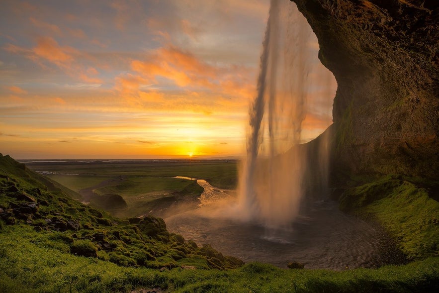
When driving the South Coast route from Reykjavík city, the first major features are the two great waterfalls of Seljalandsfoss and Skógafoss. These falls which sit beneath the notorious subglacial volcano, Eyjafjallajökull. On clear days, the Westman Islands can be seen across the ocean from these beautiful cascades. Less than a kilometre from Seljalandsfoss is the hidden gem of Gljúfrabúi waterfall.
Skógar, which is home to Skogafoss waterfall, has a very interesting museum that discusses some of the nation’s history and culture. One of Iceland’s most famous hiking trails, Fímmvörðuháls, cuts through the area and is worth the walk if you have time.
A little further down the route is the glacier Mýrdalsjökull glacier, which covers one of Iceland’s most explosive volcanoes, Katla. Many glacier hikes are taken here upon the glacier tongue, Sólheimajökull.
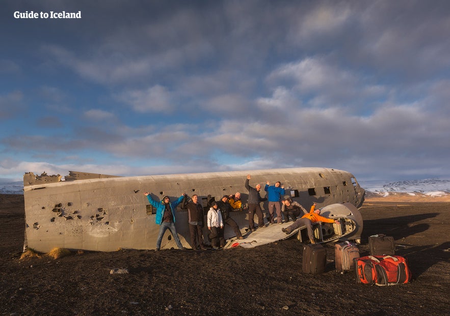
This landscape has also been shaped by volcanic eruptions, although these were much more recent. Vast expanses of the black sand stretch from the Highlands to the sea, part of several glacial outwash plains that flood during a volcanic eruption. One such sandplain, Sólheimasandur, is home to a crashed DC-3 Plane Wreck.
The Dyrhólaey cliffs are next, home to many seabirds. Jutting out to sea is an enormous rock arch of the same name, which you can marvel at from many angles.
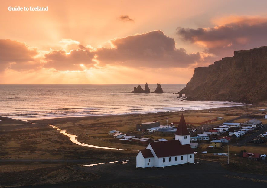
Adjacent to the village of Vík is the famous black-sand beach, Reynisfjara, which is home to basalt columns and the Reynisdrangar rock formations. These pillars are said to be two trolls frozen by the light of the sun.
Though beautiful, this area is notorious for its dangerous sneaker waves. Even on seemingly calm and still days, visitors should keep a distance from the shoreline. There are no landmasses between Reynisfjara beach and the continent of Antarctica, so you can imagine how the waves can build momentum.
After passing through Vík you will cross the glacial sandplain of Skeiðarársandur before entering Vatnajökull National Park. Here you can see Vatnajokull Glacier, Iceland’s largest glacier. Many ice cave tours take place in Vatnajokull in the winter months.
Move on to the dramatic Skaftafell Nature Reserve in the National Park. Here you can enjoy a diversity of landscapes and terrains. The area was considered a National Park in its own right because it was so beautiful.
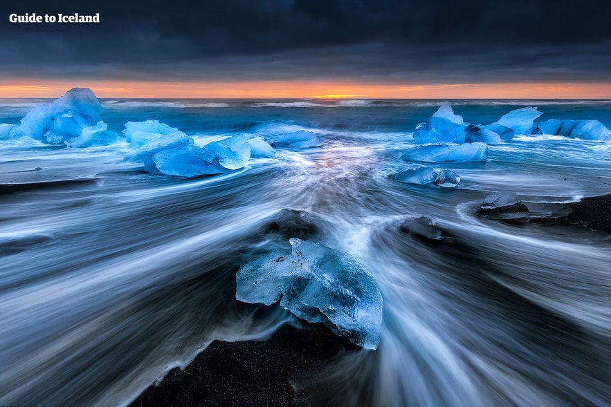
Finally, you will approach the famous Jokulsarlon glacier lagoon, a deep lake that fills with icebergs as the Breiðamerkurjökull glacier slowly breaks down. Here there are plenty of options for boat tours that take you around the lagoon and up close to icebergs. A short distance from Jökulsárlón you will find the Diamond Beach, where blue icebergs wash on the black-sand beach, and another glacier lagoon called Fjallsárlón.
Geography, Nature & Wildlife
The South Coast is the most easily accessible part of the country’s southern region, found along the Ring Road (Route 1), which encircles Iceland. The area is made up of diverse landscapes; marshlands, bays, cultivated pastures, estuaries and black sand deserts.
Underneath the soil rests a vast lava field, known as Þjórsárhraun. Reaching several hundred metres offshore, it provides a protective factor to the lowland as ocean waves crash upon it. This results in the South Shore being unusually lacking in the deep fjords that so distinctly characterize the rest of Iceland's shoreline.
Unlike most early Icelandic settlements, few of the communities in the south were based on fishing. The only town with a significant harbour in the south is Þorlákshöfn, where the ferry to the Westman Islands leaves. Some agriculture is found here, with farms nestled in the mountains, but because of the glacial floods, they are few and far between.
There are, however, plenty of hot springs in the area. The most famous is the Blue Lagoon Spa which is close to Keflavik airport. The lagoon formed as a result of the overflow from a nearby power plant.
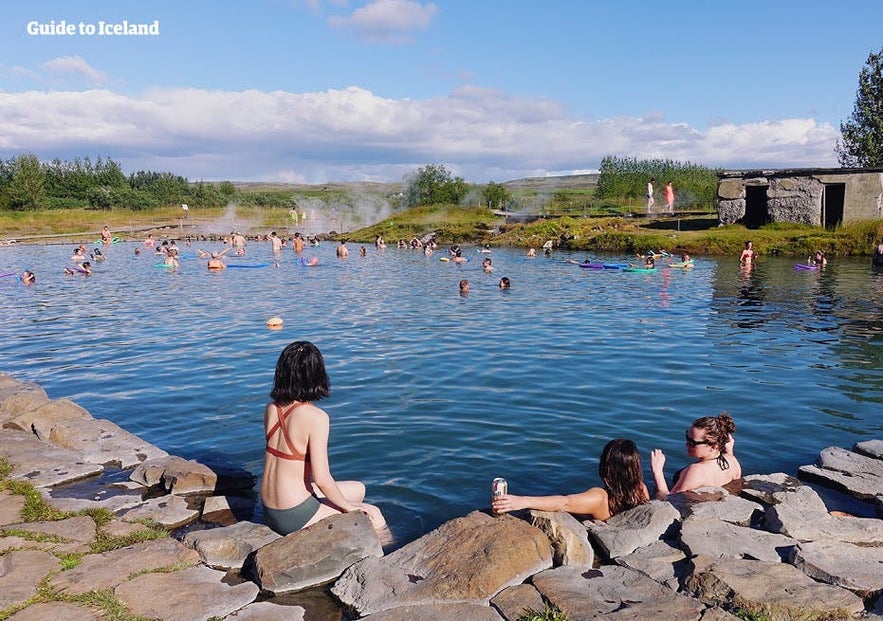
However, there are lots of natural geothermal hot springs in more remote locations, where you can avoid the crowds and have a more natural experience. Some of the spots travelers recommend are Seljavallalaug, which is close to Skogar, and Reykjadalur, the Valley of Steam, which is close to Hveragerði.
The South region boasts vibrant bird life during all seasons. Freshwater birds nest in the marshlands and around the estuaries, while seabirds flock around the cliffs of Reynisdrangar and Dyrhólaey.
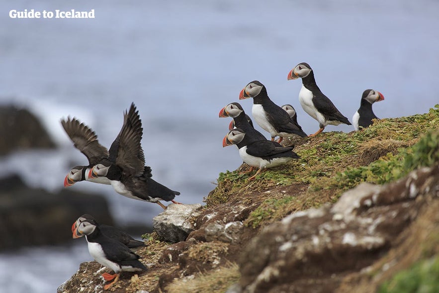
You may be able to spot North Atlantic puffins nesting on the cliffs between May and August. In summer, there are 2-3 times as many Arctic Tern as Icelanders so you are bound to spot some of them on your travels. Some species stay throughout the harsh Icelandic winter, including the northern diver, the loom and various species of gulls and ducks.
Seals are often found along the shore, particularly around the Jökulsárlón Glacier Lagoon and Diamond Beach. As with everywhere in Iceland, you should always keep an eye out to the sea, as whales and dolphins reside all along its coastline.
In terms of sports; horse riding is popular, as is fishing, hiking, snorkelling, sightseeing and river rafting.
Lähellä olevat nähtävyydet
Suosittuja luokkia

Lataa puhelimeesi Islannin suurin matkailumarkkinapaikka, jotta voit hallita koko matkaasi yhdessä paikassa
Skannaa tämä QR-koodi puhelimesi kameralla ja paina näkyviin tulevaa linkkiä lisätäksesi Islannin suurimman matkailumarkkinapaikan taskuusi. Lisää puhelinnumerosi tai sähköpostiosoitteesi, niin saat tekstiviestin tai sähköpostin, jossa on latauslinkki.
