Destinazione
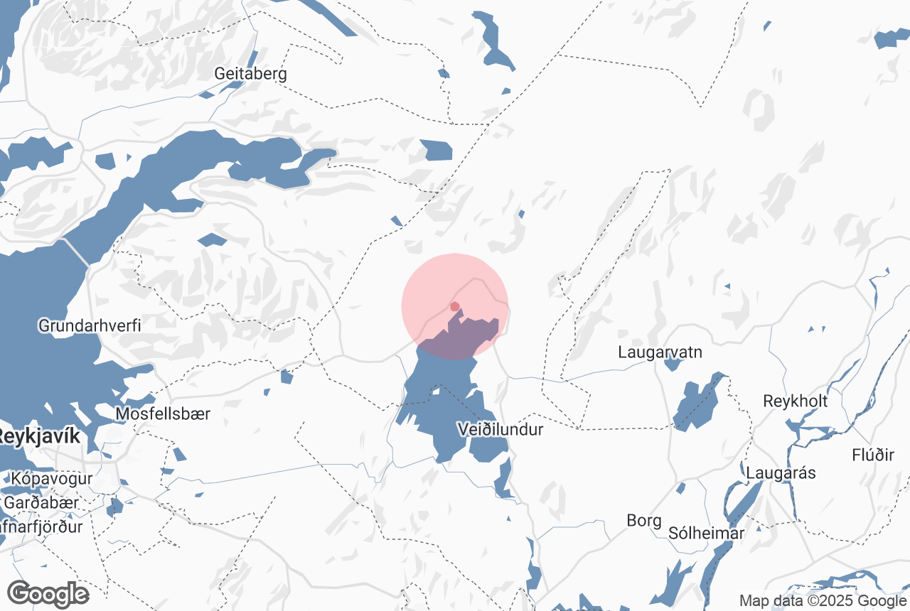
Þingvellir, Iceland
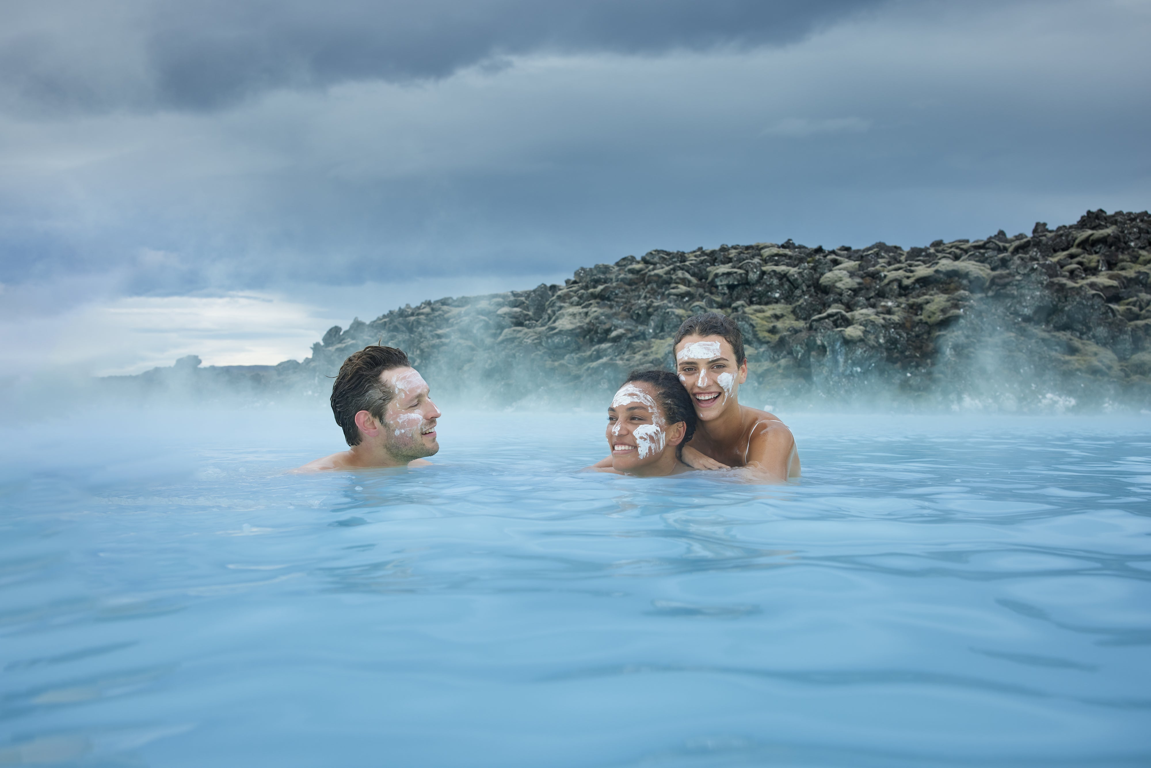
Adatto alle famiglie
Sì
Valutazione media
6.8
Numero di recensioni
2

Gjabakkahellir (a.k.a. Helguhellir or Stelpuhellir ('Girl cave')) is a lava tube, located in the area of Thingvellir National Park.
Gjabakkahellir formed around 9000 years ago. With its many beautiful lava formations and ice sculptures, it is considered a prime example of an Icelandic lava tube, offering breathtaking sights.
Perché puoi contare sui nostri contenuti
Guide to Iceland è la piattaforma di viaggi più affidabile d’Islanda, che ogni anno aiuta milioni di viaggiatori. Tutti i nostri contenuti sono scritti e verificati da esperti locali con una conoscenza approfondita del Paese. Potete contare su di noi per consigli di viaggio accurati, aggiornati e affidabili.
Explore the depths of Iceland on a lava cave tour.