

説明
まとめ
説明
一生に一度の体験となる、シルフラの裂け目にある泉(Silfra)でのシュノーケリングツアーに参加しませんか?地球上でも最も透明度の高い水中で、二つの大陸の間を漂う感動を味わえます。
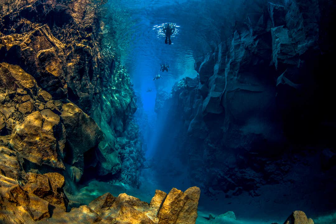
シルフラはシンクヴェトリル国立公園(Thingvellir National Park)の中にあり、ここは北アメリカプレートとユーラシアプレートが分かれる大地の裂け目です。水中の透明度は100メートルに達することもあり、まるで別世界のような絶景が広がります。
ツアー開始の15分前に、シルフラ駐車場でガイドと合流してください。レイキャビク市内からの送迎を選ぶことも、ご自身で集合場所までお越しいただくことも可能です。
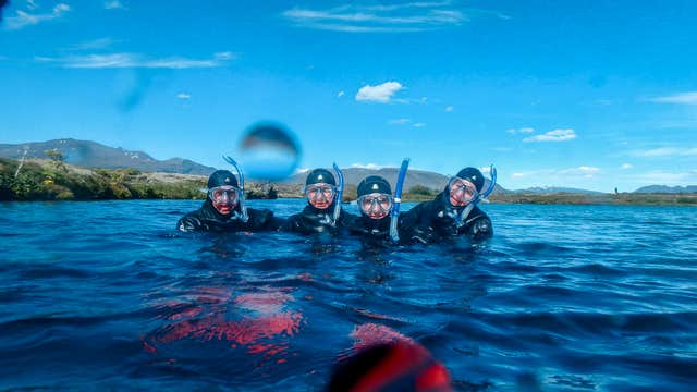
経験豊富なPADI認定ガイドが、シルフラの4つのメインエリアをご案内。流れも穏やかなので、リラックスして水中の細部までじっくり観察できます。泳げる方であれば、シュノーケリングの経験がなくてもご参加いただけます。ドライスーツ、フード、グローブ、フィンなどの装備一式が用意されており、水温2~4℃の中でも快適に過ごせます。ガイドが、シルフラ周辺の歴史や安全に関する注意事項、装備の使い方について丁寧にご説明します。
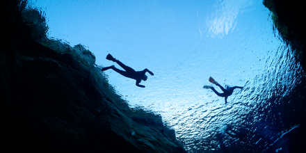
その後、少し歩いてシルフラを満たす澄み切った氷河の水へと入水し、地球の大地が生み出したプレートの間を泳ぎ始めます。透き通る青い水路を、ゆるやかな流れに身を任せながら進んでいきます。視界は最大150メートルにもおよび、まるで別世界にいるかのような体験が待っています。
最初は少し冷たく感じるかもしれませんが、目の前に広がる幻想的な景色がその寒さを忘れさせてくれるでしょう。シルフラでのシュノーケリングは、静寂で非日常的な時間。アイスランドならではの唯一無二の体験です。
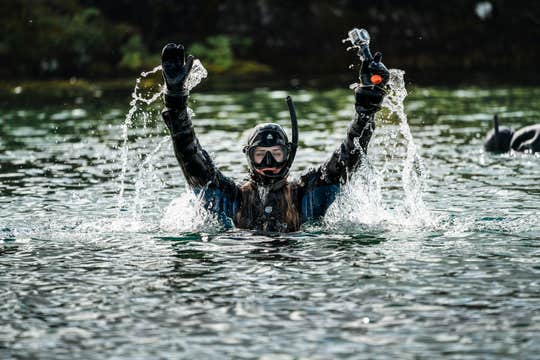
約30〜40分間、シルフラでのシュノーケリングを楽しんだ後は、泉から上がり、駐車場までは約400メートルの徒歩移動となります。
シュノーケリング後は、ホットチョコレートとクッキーで体を温め、無料で水中写真もダウンロードできます。
ご参加の際は、サーマルベースレイヤー(保温下着)、暖かい靴下、天候に合ったアウトドアウェアをご持参ください。シルフラでのシュノーケリングツアーは12歳以上から参加可能で、泳げることが条件です。
シルフラはユネスコ世界遺産にも登録されているシンクヴェトリル国立公園内にあり、自然美とアイスランドの歴史が色濃く残る特別な場所です。また、ゴールデンサークルの観光ルートにも位置しているため、他の名所と組み合わせて楽しむのにも最適です。
この忘れられないシュノーケリング体験、ぜひご希望の日程を選び、ご予約ください。


