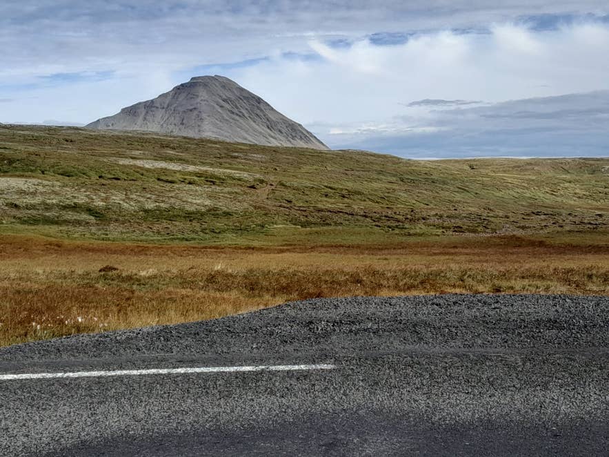
Route 60 on Brattabrekka, with Baula. Photo: Hornstrandir1, CC BY-SA 4.0
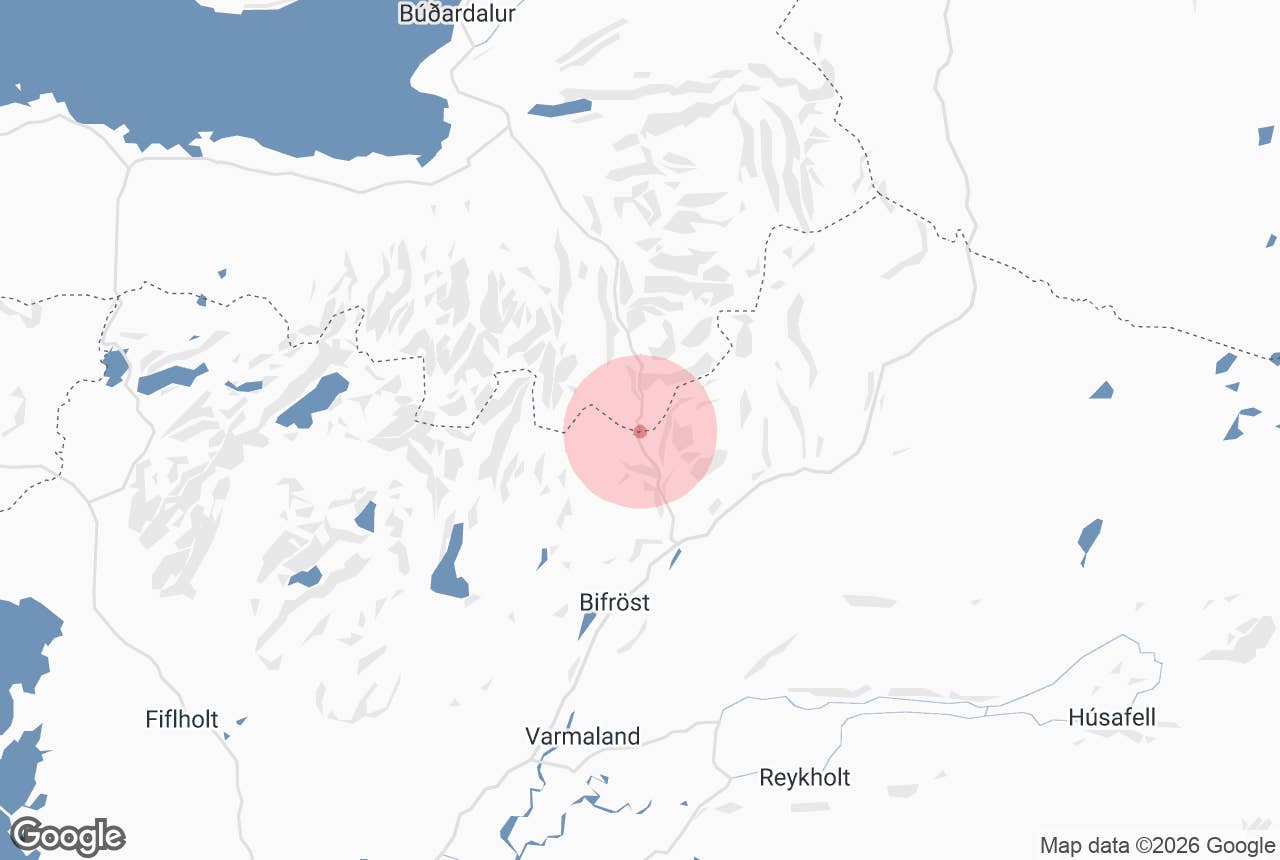
Brattabrekka (Brattabrekka, "Steep Slope") is the mountain pass that carries Route 60, Vestfjarðavegur, from Norðurárdalur in Borgarfjörður north over the heath into the Dalir district of West Iceland.
It is the main road link between the Ring Road and Búðardalur, and the usual way into the Westfjords from the south.
The paved road climbs to nearly 400 m above sea level, and the open heath on top gives wide views back over Norðurárdalur and across to the cone of Baula.
Key Takeaways About Brattabrekka
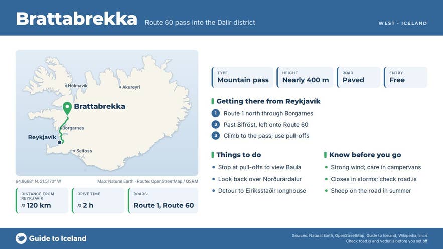
- Brattabrekka carries Route 60 (Vestfjarðavegur) over the heath from Norðurárdalur to Dalir; it is paved for its full length.
- The high point is nearly 400 m, about 120 km (2 hours) from Reykjavík, 49 km from Borgarnes and 34 km from Búðardalur.
- Baula (934 m), a pale granophyre cone, is the landmark seen from every bend.
- Open all year with winter service, but it closes in storms; check road.is between October and April.
- No services on the pass; fuel and food at Bifröst and the Baulan roadside stop on Route 1 (south) and in Búðardalur (north).
Why visit Brattabrekka
Brattabrekka is a drive rather than a stop, but it is one of the more scenic short passes in the west. Leaving the Ring Road, Route 60 climbs steadily out of Norðurárdalur onto the heath; the Icelandic Road Administration reports its condition as the section "Vestfjarðavegur: Brattabrekka".
On the way up and over, the dominant landmark is Baula, a 934 m cone of pale granophyre (a coarse rhyolite) that formed as an intrusion more than three million years ago and has since been carved out of the surrounding basalt by ice. Its symmetrical, scree-covered shape looks different from every bend in the road.
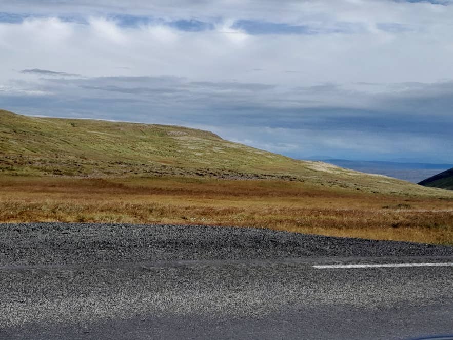
Heath on top of Brattabrekka. Photo: Hornstrandir1, CC BY-SA 4.0
Northward, the road descends through Suðurárdalur into the Miðdalir district and reaches the Hvammsfjörður lowlands near Búðardalur.
The Dalir side is saga country: Eiríksstaðir, the reconstructed longhouse of Eiríkur rauði (Erik the Red), lies about 20 km north of the pass in Haukadalur, a detour off Route 60, and the Laxdæla saga is set around Hvammsfjörður and Laxárdalur.
Looking south from the top you see the long green trench of Norðurárdalur with the Norðurá river, the forest and lava around Bifröst, and the Grábrók craters.
Sauðafell farm in Miðdalir, a chieftain's seat in the Sturlung Age, stood on the old route from Norðurárdalur over Brattabrekka, a reminder that this was a working route long before the car: the valleys on either side were connected by foot and horse tracks across these heights for centuries.
How to get to Brattabrekka
- From Reykjavík: take Route 1 north through Borgarnes to Norðurárdalur. About 6 km past Bifröst, turn left onto Route 60 (Vestfjarðavegur) at the junction in Norðurárdalur and climb to the pass. The high point is roughly 120 km from Reykjavík (around 2 hours), 49 km from Borgarnes and 17 km from Bifröst.
- From Búðardalur: Route 60 south for about 34 km (around 35 minutes).
- Road: Route 60 over Brattabrekka is paved for its full length and suitable for any car in summer. It is a primary road (stofnvegur) with winter service, but it crosses open heath at nearly 400 m and closes in storms.
- Parking: there are gravel pull-offs along the top of the pass. Pull fully off the carriageway before stopping for photos.
- Season: open all year, weather permitting. Check road.is before driving in winter; the Vegagerðin road map shows the current condition of the pass.
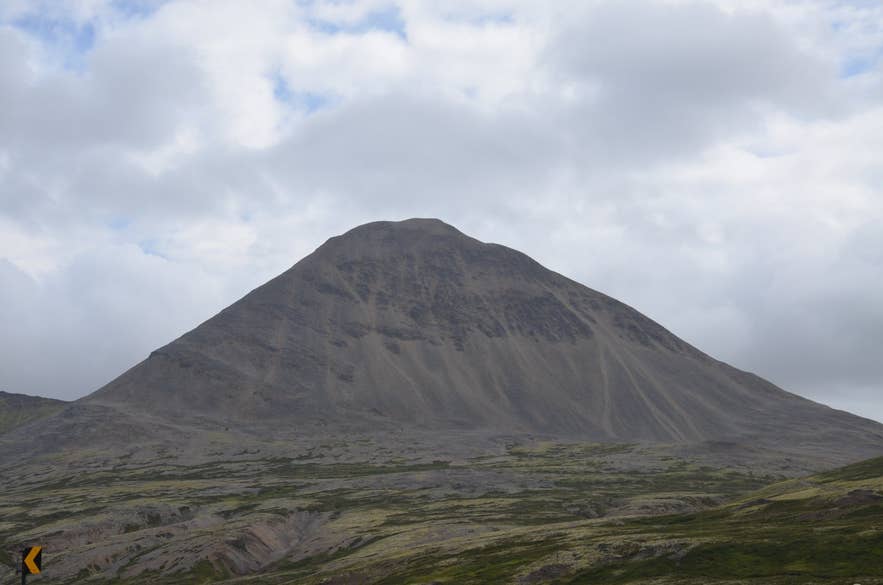
Baula seen from Brattabrekka. Photo: Cinquantecinq, CC0 1.0
Best time to visit
Late May to September for reliable conditions and the clearest views of Baula. June and July give long evenings when the low sun lights the heath; late August and September add autumn colour to the moorland. In winter the pass is often icy or closed for hours during storms, and visibility on top can drop to nothing.
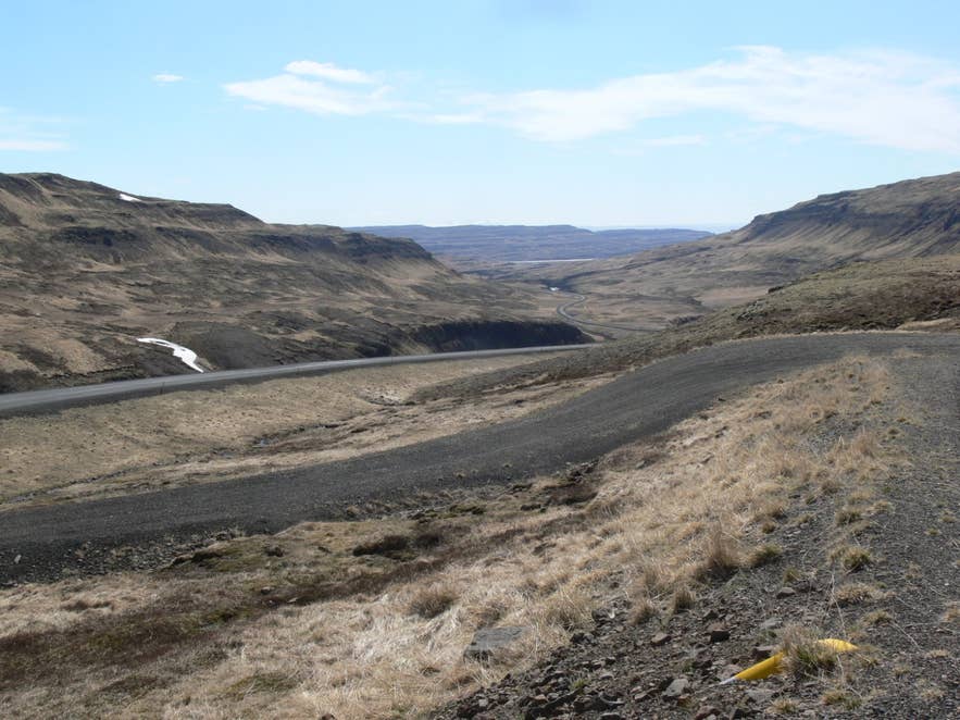
Norðurárdalur from the Brattabrekka road. Photo: Christian Bickel, CC BY-SA 2.0 DE
Safety and practical tips
- This is an open heath with no shelter. Wind is the main hazard, especially for high-sided vehicles and campervans; gusts on the top can be much stronger than down in the valleys.
- In winter and shoulder seasons check road.is for closures (lokað) and conditions such as hálka (ice) and snjóþekja (snow cover). Carry warm clothes and keep the tank full.
- Sheep graze freely on the heath in summer and wander onto the road.
- There are no services on the pass. Fuel, food and toilets are available at Bifröst and at the Baulan roadside stop on Route 1, about 12 km south of Bifröst (south side; check opening hours), and in Búðardalur (north side).
- No fees, gates or opening hours.
- If you want to climb Baula, the ascent is usually made from the south-west or south-east sides, from Bjarnardalur; it is a steep, loose scree walk for experienced hikers only.
Nearby attractions
- Baula – 4 km
- Norðurárdalur – 11 km
- Grábrók – 10 km
- Bifröst – 11 km
- Glanni – 13 km
- Eiriksstadir Viking Longhouse – 21 km
- Búðardalur – 29 km
Tours that visit Brattabrekka
- 5-Day Guided Private Tour of Iceland's Westfjords, Snaefellsnes Peninsula, & Borgarfjordur – on the final day the itinerary leaves Hólmavík and Búðardalur, crosses the Brattabrekka highlands and drops into Borgarfjörður, with views of the Norðurá river, its waterfalls and the woodland of Norðurárdalur.
