
The flat-topped mountain Esja, often called Esjan, is one of Iceland’s most popular destinations for day hiking. It is situated in Kjalarnes in the South West corner of Iceland.
Explore the nearby city of Reykjavik on a day tour. From the city, you can take a helicopter tour on to the top of Mount Esja.
저희의 콘텐츠를 신뢰할 수 있는 이유
가이드투아이슬란드는 아이슬란드에서 가장 믿을 수 있는 여행 플랫폼으로, 매년 수백만 명의 여행객이 저희와 함께 아이슬란드를 방문합니다. 저희의 모든 콘텐츠는 아이슬란드를 누구보다 잘 아는 현지 전문가들이 작성하고 검토하므로, 정확하고 신뢰할 수 있는 최신 여행 정보만 제공합니다.
Photo above from Wikimedia, Creative Commons, by Martin Putz. No edits made.
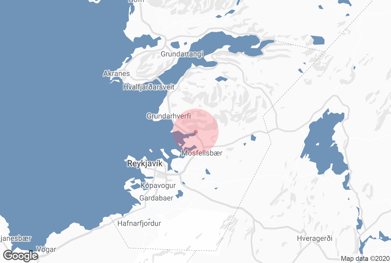
Only 10 kilometres (6 miles) from the city of Reykjavík across Faxaflói Bay, the mountain is a dominant feature of the capital’s skyline. In reality, Esja is not a true mountain in itself, but a volcanic range, the highest peak of which reaches 914 metres (2,999 feet) tall.
Geology and History
Esja's formation dates back to the beginning of the last Ice Age. Magma rising from eruptions formed layers of lava beneath a glacier, and when the ice retreated, it ground much of it away and left the mountain in its current form.
The volcano is no longer active, so it has little changed since.
Since Iceland is situated on the boundary between two tectonic plates, Eurasia and North America, the continuous tension pushes the sedimentary soil to the west. This makes the western part of the range the oldest (at about 3.2 million years) and the eastern part the youngest (at approximately 1.8 million years).
Esja is composed of basalt and tuff rock. It has quite a lot of vegetation for an Icelandic peak, with many lupin and wildflower fields across it in summer.
Recently, Esja has been the site of several concerts, with helicopters taking music-lovers up to the peak for a great show beneath the midnight sun.
Hiking and precautionary measures
Because of the mountain's proximity to the capital city (less than an hour by car, or accessible by taking two regular buses), Esja is an extremely popular hiking destination for locals and visitors alike. The path up the mountain is divided into different sections, with signs indicating the difficulty of each route.
The most well-known paths lead to the separate summits of Þverfellshorn (780 metres or 2,560 feet) and Kerhólakambur (851 metres or 2,790 feet).
The highest point is called Hábunga and requires an additional three-kilometre trek northeast from Þverfellshorn. Approximately 200 metres (656 ft) from the top, hikers find themselves at a large rock named Steinn where they are faced with three options: continuing on the marked trail, climbing directly to the peak, or simply enjoying the great views before descending.
When hiking Esja, it is important to be equipped with proper hiking gear, with a good knowledge of your capabilities. Amateur hikers should only take a simple route, and only expert climbers should try to scale Steinn.
It is also imperative that you get the weather forecast ahead of arrival, so you know what precautions to take.
Avalanches and accidents can and do claim lives; according to the Iceland Touring Association, Esja holds the record for the most accidents in Icelandic nature. There are several incidents here a year, especially through winter with ice, rain and heavy fog, several of which have resulted in death.
The frequency of incidents on Esja is largely due to its popularity; if you take necessary precautions and do not push your limits, there should be no reason for you to be at risk.
Be sure to check the weather conditions and wear the appropriate clothing and you can enjoy one of Iceland's most popular hiking trails in comfort and safety.
 Photo from Wikimedia, Creative Commons, by Lydur Skulason. No edits made.


