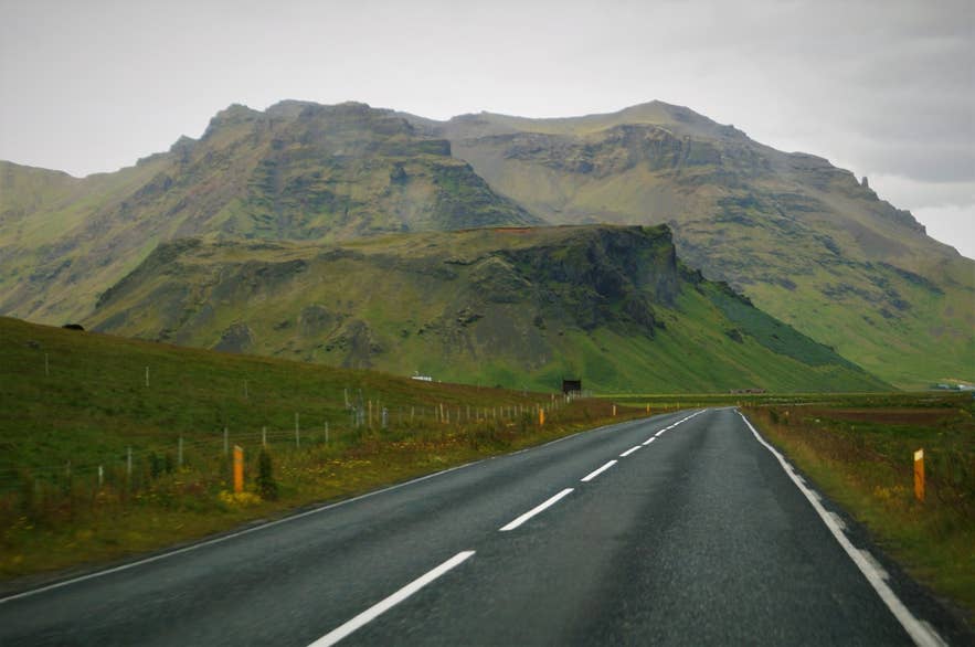
Lambafell and the Eyjafjöll slopes. Photo: Alexander Grebenkov, CC BY 3.0
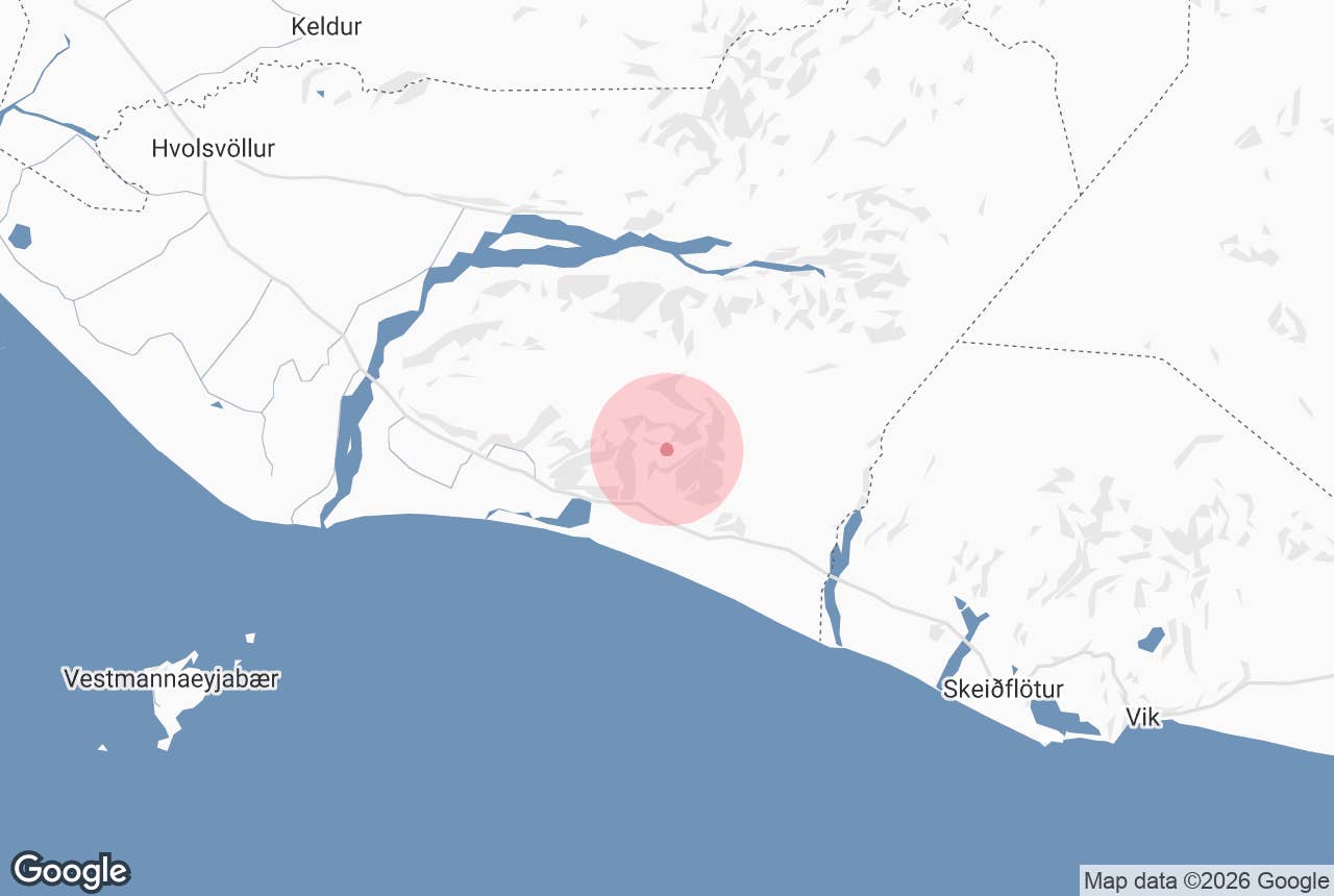
Lambafellsheiði heath is the long, grassy heath that climbs from the farms of Lambafell and Seljavellir, under Eyjafjöll in South Iceland, up to the edge of the Eyjafjallajökull ice cap. It is the natural staircase of the mountain: the footpath that guided summit hikes follow from the old swimming pool at Seljavallalaug runs up this heath to the snowline.
The name means "Lambafell heath". Lambafell itself is the fell beside the farm; the place-name record for the area notes that the farm name most likely comes from a man's name, Lambi, rather than from lambs, although it is often translated as "lamb fell".
Key Takeaways About Lambafellsheiði
- Grassy heath between the Laugará and Svaðbælisá rivers, rising from Seljavellir farm to the edge of Eyjafjallajökull
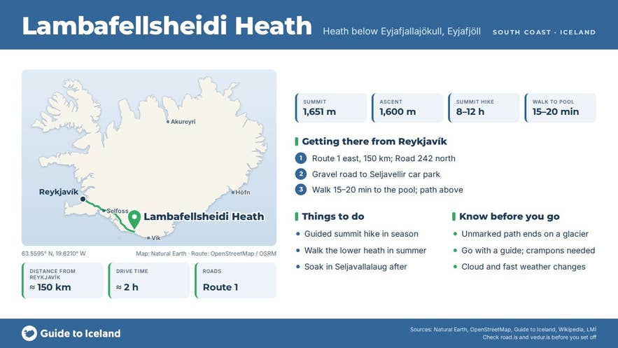
- The lower half of the standard southern summit route: about 1,600 m of ascent from Seljavellir to Hámundur (1,651 m)
- Start at the Seljavallalaug car park off Road 242, about 150 km from Reykjavík; no 4x4 needed to get there
- Unmarked mountain path that ends on a glacier — go with a guide unless you have glacier gear and experience
- Guided hikes run in late spring and summer and take 8–12 hours; no fee, no facilities on the heath
Why visit Lambafellsheiði
Most people who set foot on Lambafellsheiði are on their way to the top of Eyjafjallajökull, the volcano whose 2010 eruption closed much of Europe's airspace.
The glacier summit, Hámundur, stands at 1,651 m (5,417 ft), and the standard southern route gains roughly 1,600 m from Seljavellir, about 7 km away in a straight line.
The heath is the lower half of that route, and it is the part with the most variety: a stream valley, old sheep paths, scree and boulder fields, and then the first tongues of ice.
The heath has its own structure and its own names, recorded by the folklorist Þórður Tómasson of Skógar. It lies between two rivers, the Laugará to the east (the warm stream that feeds Seljavallalaug) and the Svaðbælisá, also called Lambafellsá, to the west.
A band of cliffs called Svarthamrar closes the bottom of the heath above the pool, and two shelves higher up, Neðribrýr and Efribrýr, divide it into a lower heath (Neðriheiði) and an upper heath (Efriheiði). Above Efriheiði the land called Mörleysur runs right up to the glacier.
Views open quickly. From the lower heath you look back over the sandy plain below Eyjafjöll to the coast; from the upper heath the Westman Islands appear offshore on clear days, and from the ice you see across to Þórsmörk and Mýrdalsjökull.
In early summer the lower slopes are green and full of nesting birds, and guided groups usually take their first break at a stream on the lower heath.
How to get to Lambafellsheiði
The heath is reached from the Seljavallalaug car park at Seljavellir, about 150 km (93 mi) east of Reykjavík on Route 1, a drive of roughly two hours. Turn north off Route 1 onto Road 242 (Raufarfellsvegur), signed Raufarfell, about 23 km east of Seljalandsfoss and 9 km west of Skógar.
A short gravel road leads to the parking area at Seljavellir farm. From there it is a 15–20 minute walk up the Laugará valley to the pool, and the path onto the heath starts above it. No 4x4 is needed to reach the car park.
The nearest services are at Skógar (about 11 km) and Hvolsvöllur (about 45 km). There are no facilities on the heath itself.
Beyond the pool the route is a mountain path, not a maintained trail. It is steep, unmarked in places, and ends on a glacier. Unless you are an experienced mountaineer with glacier gear, go with a guide.
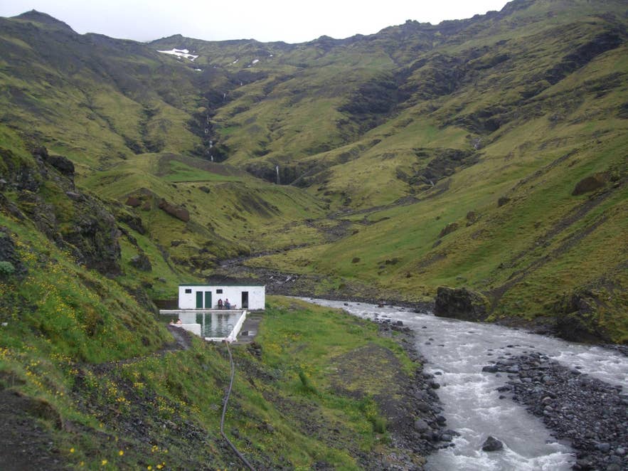
Seljavallalaug below Lambafellsheiði. Photo: BiT, CC BY-SA 3.0
Best time to visit
Guided summit hikes run in late spring and summer; the tour listed below is offered in May. Early in the season snow still covers much of the upper route and the days are long; by late summer more rock is exposed on the upper heath and the glacier has more open crevasses.
For a walk only on the lower heath, June to September is the window, when the ground is free of snow and the Seljavallalaug pool is pleasant afterwards. In winter the heath is snow-covered and the valley road can be impassable.
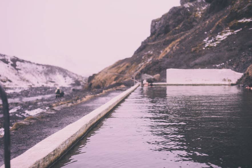
Seljavallalaug pool, start of the heath walk. Photo: Jonatan Pie, CC0
Safety and practical tips
- The full summit hike is strenuous: 8–12 hours, 1,600 m of ascent, and roped glacier travel with crampons. Operators set minimum ages of 13 to 16.
- Weather changes fast at this height. Bring a windproof shell, warm layers, hat and gloves even in July, and sturdy boots with ankle support for the scree.
- Cloud sits on the glacier more often than not. Check the forecast at vedur.is and be ready to turn around.
- Seljavallalaug has only a small changing shed, no showers, staff or lifeguard, and the water is only lukewarm (about 20–30°C). Carry out all rubbish.
- Mobile coverage is patchy above the pool. Tell someone your plan.
- Eyjafjallajökull is an active volcano. Follow guidance from the Icelandic Met Office and Civil Protection, and never cross a glacier unroped.
Nearby attractions
- Seljavallalaug – the 1923 pool at the foot of the heath, about 1.3 km from the heath centre
- Þorvaldseyri – the farm beneath the 2010 eruption, with a summer exhibition on the eruption (check current opening), about 3.5 km
- Steinahellir Cave – a historic cave right beside Route 1, about 6 km
- Eyjafjallajökull – the glacier-capped volcano the heath leads up to, about 6 km to the summit area
- Gígjökull – the outlet glacier on the north side, about 7 km as the crow flies
- Skógafoss – the 60 m waterfall at Skógar, about 7.5 km
Tours that visit Lambafellsheiði
- Challenging 8 Hour Volcano & Glacier Hiking on Eyjafjallajokull with Expert Local Guides – starts at the Seljavallalaug car park, follows the old footpath up Lambafellsheiði to the glacier edge, puts on crampons for the ice, and returns the same way with a soak in the pool at the end.
