
The Raudibotn crater is a volcanic crater within the Fjallabak nature reserve in the Icelandic Highlands.
You can visit the Raudibotn crater as part of a self-drive tour of Iceland, such as this seven-day road trip - stop off at the Fjallabak nature reserve and hike to the feature. You could also visit the crater while trekking on the Laugavegur hiking trail, which passes through the nature reserve.
Hvorfor du kan stole på innholdet vårt
Guide to Iceland er Islands mest brukte reiseplattform og hjelper millioner av besøkende hvert år. Tekstene våre er skrevet og sjekket av folk som bor her og kjenner landet ut og inn. Derfor kan du alltid regne med ærlige, oppdaterte og pålitelige reisetips.
The crater, known as Rauðibotn in Icelandic, has a secluded location and can be challenging to reach. However, finding it’s worth the effort, as it’s stunning. This hidden gem has red slopes and bright green moss on its walls, with a small lake in the center.
What’s Special About the Raudibotn Crater?
Raudibotn is part of the Eldgja canyon, the world’s largest volcanic canyon. The Eldgja canyon is a chain of craters and fissure vents that are part of the Katla volcano. The canyon was formed around the year 939 when Katla erupted very violently.
The eruption had a global impact, causing food shortages in Iceland and Europe. It even caused global temperatures to drop, leading to colder summers across Europe and Asia.
Visitors to the Raudibotn crater can experience this enormous volcanic fissure up close. The name “Raudibotn” means “red bottom” in Iceland for the red volcanic rock inside it.
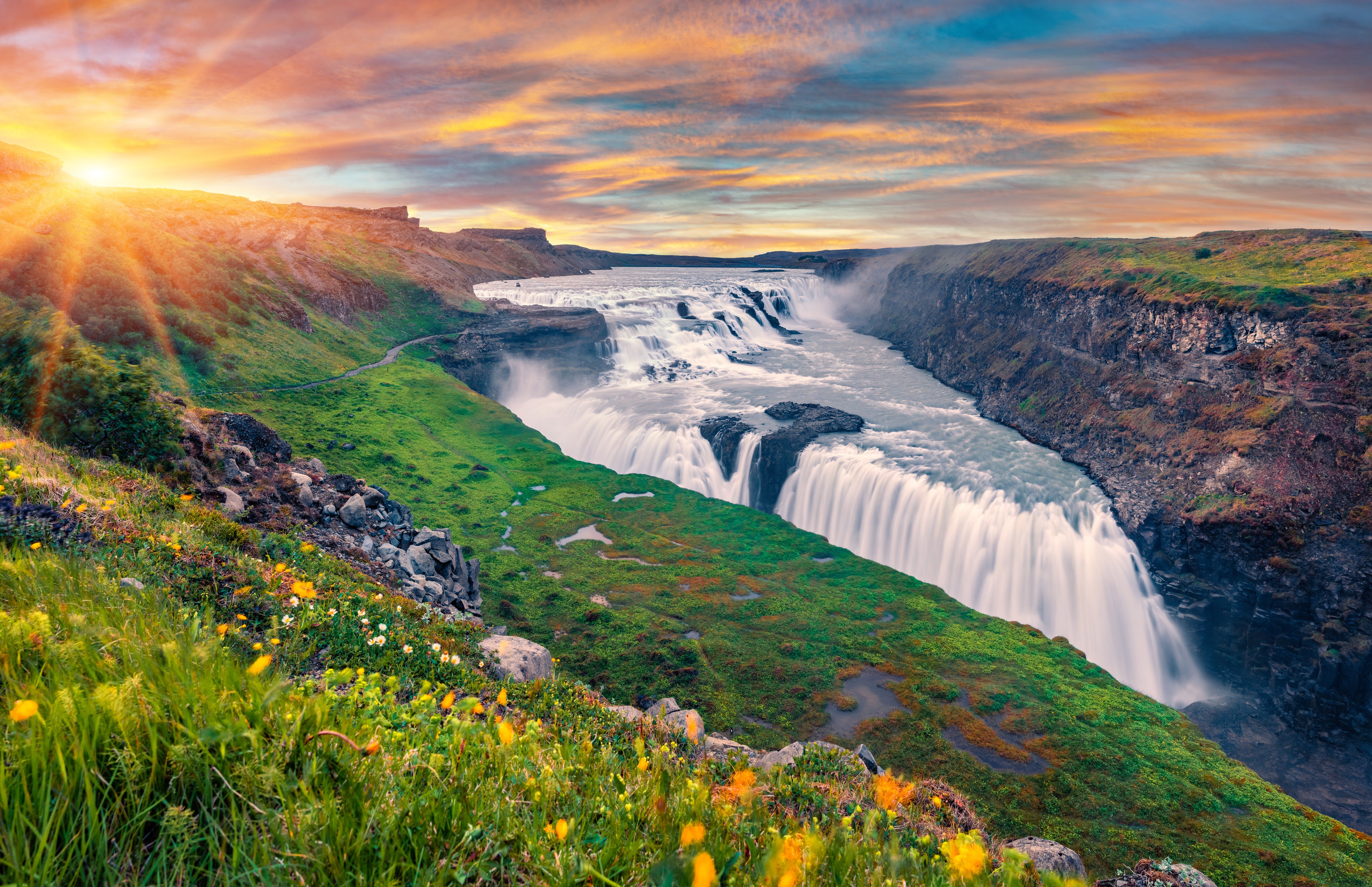
The feature is a brilliant place for hiking, and the crater is surrounded by volcanoes, other craters, and spectacular lakes. If you hike to the attraction, you’ll be rewarded with breathtaking views of nearby mountains and lakes.
How to Reach the Raudibotn Crater
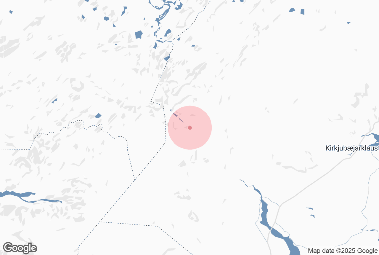
The Raudibotn crater is in South Iceland, close to the town of Kirkjubaejarklaustur (also known as Klaustur).
It’s impossible to reach the crater without a 4X4, so you’ll need to hire a car with four-wheel drive. If you’re driving to the crater, you’ll want an experienced driver, as the route involves a difficult river crossing.
If the river conditions are too dangerous, you should avoid crossing the river.
From Kirkjubaejarklaustur, follow the Ring Road westbound for 15 miles (about 25 kilometers), then turn right onto route 208. Follow this road for around six miles (roughly 10 kilometers), then turn left onto route 210 — you’ll see the Sudurland Grafkakirkja church on your left.
The route soon becomes F210, a highland road also known as “Fjallabaksleið syðri” (“South Fjallabaksleid”).
After around 15 miles (about 23 kilometers), you’ll have to cross the Holmsa River. Shortly after the river crossing, you’ll find a small area where you can park your car. From here, it’s about a one-hour hike to the Raudibotn crater.
Other Attractions Near the Raudibotn Crater
The Raudibotn crater is part of the Laugavegur hiking area, so several other natural attractions are nearby. It’s easiest to reach them all as part of a multi-day hiking tour of the area.
By hiking the trail from Landmannalaugar to Thorsmork, you can see glaciers, waterfalls, forests, lava fields, rivers, mountains, and hot springs. Highlights on the route include the Myrdalsjokull glacier, the Maelifell volcano, and the Alftavatn lake.
Other sights near the crater include the Fjadrargljufur canyon, the Raudarfoss waterfall, and the Eldhraun lava field. You can visit all these attractions easily by staying at the Hrifunes Guesthouse.