
説明
まとめ
説明
レイキャビク発・5時間の乗馬+温泉ツアーでアイスランドを代表する動物、アイスランディック・ホースに乗って「火と氷の国」の絶景を体験してみませんか?
アイスランド在来馬に乗ってアイスランド南西部のグフダルル谷(Gufudalur)という美しい地熱地帯を巡る感動のアドベンチャーです。
朝、レイキャビクのホテル近くまで現地ガイドがお迎えに上がり、ツアー開始。首都の東にあるクヴェラゲルジ(Hveragerdi)という町の郊外にある馬牧場にお連れします。
厩舎に着いたらガイドが乗馬の基本を簡単にご説明します。手綱の正しい使い方や馬のスピードのコントロールの仕方などをお教えしますので、体験中も安心です。
乗馬のコツや、外乗中に見られる景色についても解説します。さらに、有名なアイスランド在来馬の歴史や彼らが暮らす馬牧場についての話も聞けるでしょう。
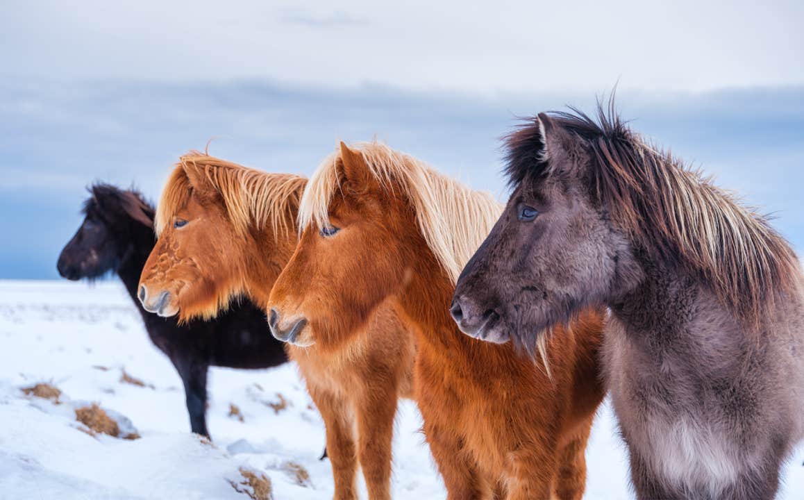
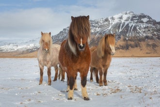
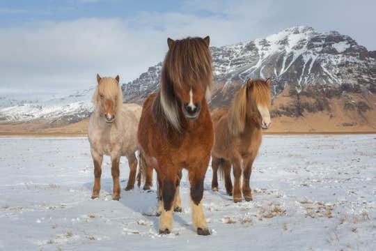
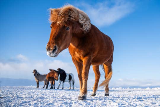
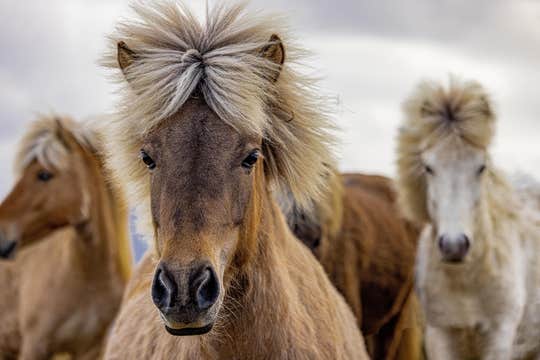
フレンドリーな性格と5種類の歩き方ができることで知られるアイスランド馬は1000年以上にわたって他の種と交雑することなく飼育されてきました。体高は平均132~145cmくらい、コンパクトながら力強い馬です。
その小柄な体格にもかかわらず驚くほど頑丈で、アイスランドの険しい地形や厳しい気象条件に見事に適応しています。さらに分厚いダブルコートの毛は保温効果に優れ、流れるような長いたてがみとしっぽも特徴的です。
厩舎を出たらいくつかのトレイルを通ってレイキャフィヤットル山(Reykjafjall)方面に向かいます。丘陵に囲まれたこの美しい山で、ホーストレッキングの素敵な背景となってくれます。また、アイスランドでは珍しい緑豊かな森を通ります。
次に、グフダルル谷の地熱地帯に馬首を向けます。クヴェラゲルジの町の上方に広がるこのカラフルな渓谷は多くの温泉が湧いていることで有名で、アイスランド馬の背からもその湯けむりが見えます。温泉以外にも、青々とした野原、印象的なヘンギル火山の眺望を楽しめます。
アドベンチャー感を一層高めてくれるのが「温かい川」と呼ばれるヴァルマ川(Varma)の絶景です。トラウトやホッキョクイワナがいる、きれいな川です。
写真撮影や周囲の自然を満喫したら、再び馬に乗って出発地点まで戻り、レイキャビクの宿泊先まで車でお送りします。
ツアー所要時間は送迎を含め約5時間、うち乗馬体験の時間は2時間半~3時間です。
乗馬+温泉を楽しむ5時間のグフダルル谷ツアーで、在来馬に乗ってアイスランドの自然の美しさを体験するこのチャンスをお見逃しなく。日付を選択して今すぐ空席状況をチェック!


