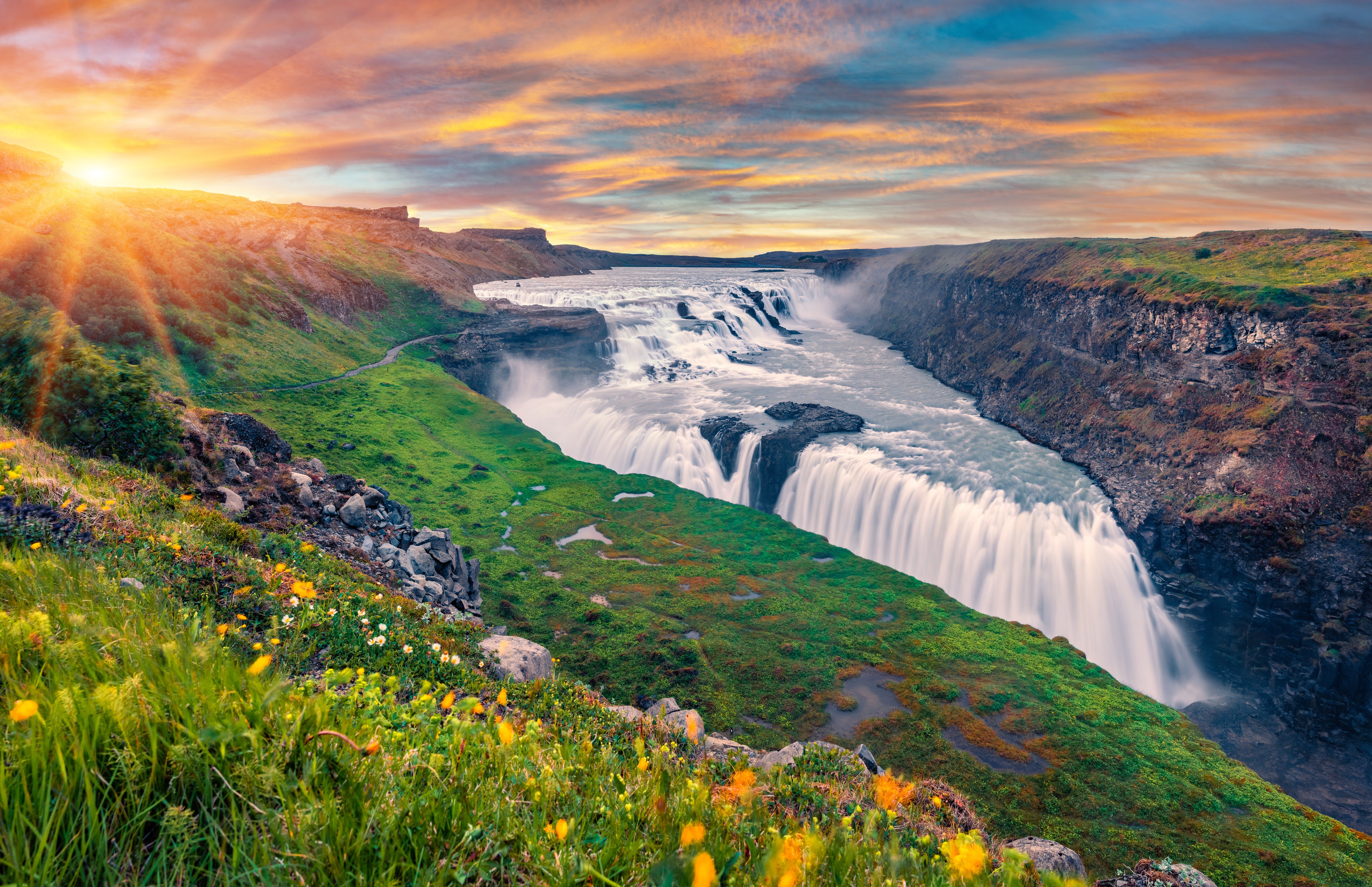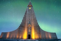


説明
まとめ
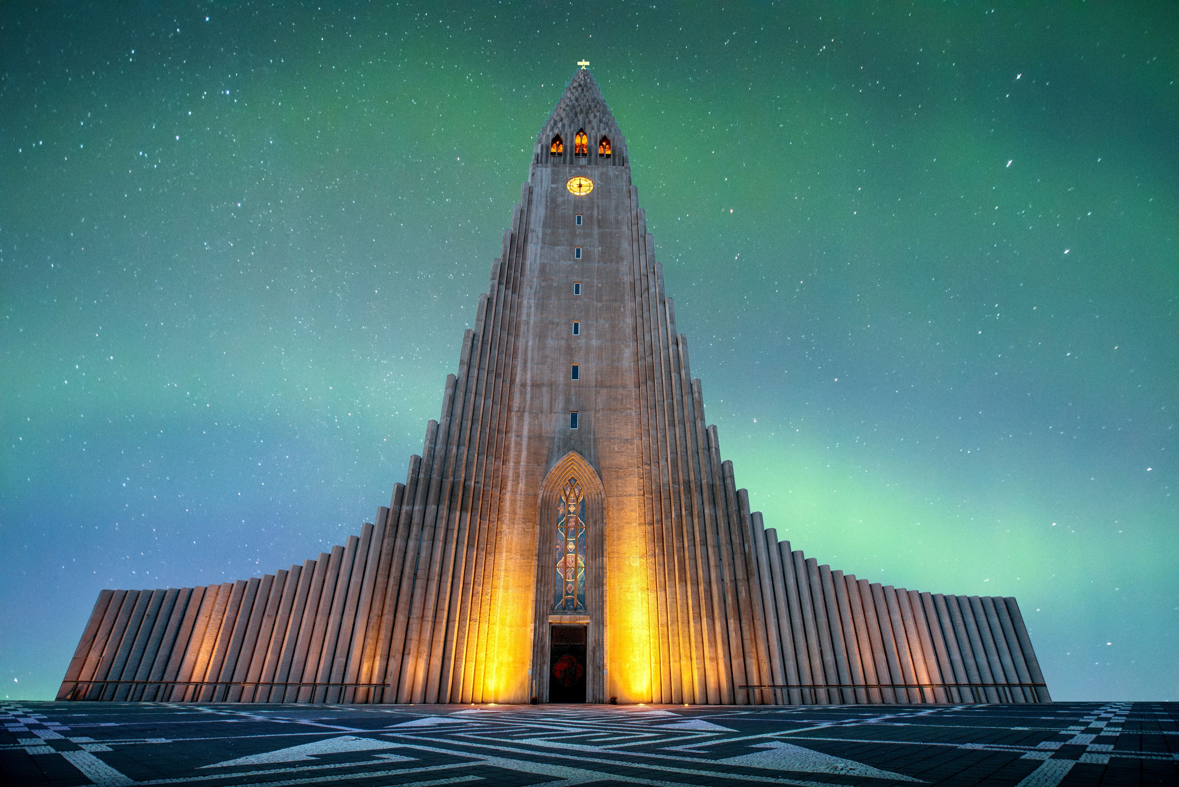
説明
アイスランド南部の雄大な氷河、大いなるソゥルヘイマヨークトル(Sólheimajökull)を登る爽快なハイキング・ツアーに参加して極限の体験を楽しみませんか?自然の絶景と冒険のスリルを組み合わせたアクティビティを求める方にぴったりのツアーです。
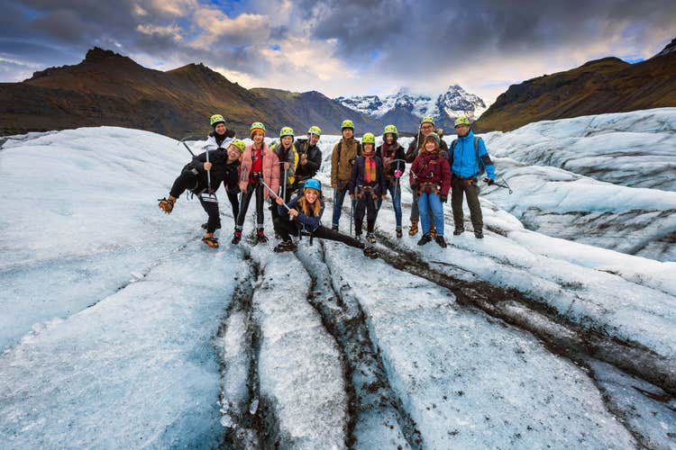
ソゥルヘイマヨークトル氷河(Sólheimajökull)の駐車場で高度な訓練を受けたガイドがお待ちしています。ガイドの案内でまずは氷河まで15分ほど歩きます。ハイキング前のウォームアップに最適です!
レイキャビク送迎を希望される方は、氷河ハイキング体験付きの日帰り観光ツアーをこちらからご予約ください:南海岸&ソゥルヘイマヨークトル氷河ハイキング(レイキャビク発)。
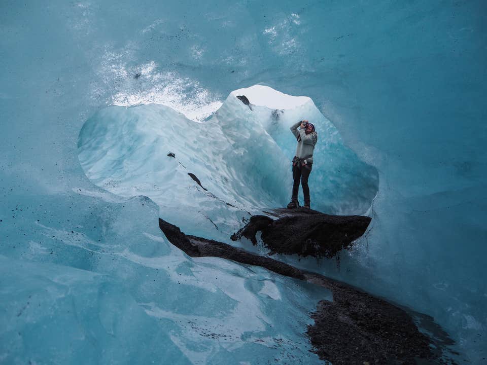
さて氷冠に着いたら、ガイドが氷河での安全上の注意事項をご説明し、氷河の成り立ちや周辺地域、ソゥルヘイマヨークトルの「親氷河」であるミールダルスヨークトル氷河(Mýrdalsjökull;これは欧州でも最大級の氷冠です)について解説します。
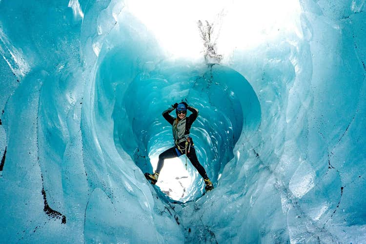
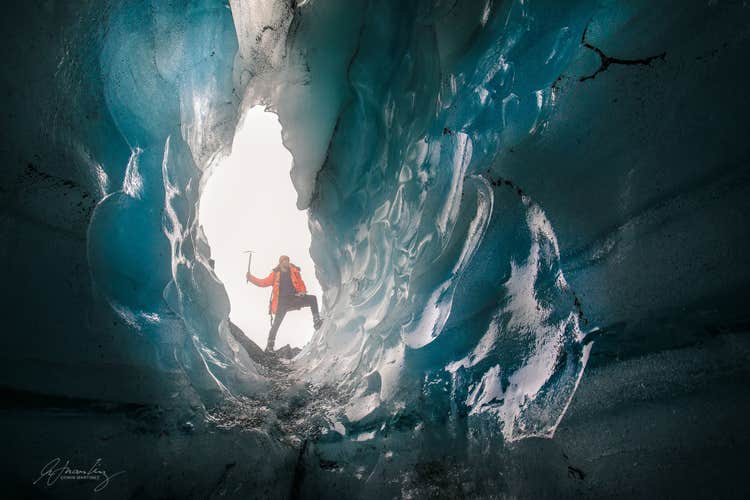
ガイドはアイゼンやピッケルなどの氷河探検の必要装備もお渡しします。いよいよハイキングを始めると、複雑な氷の彫刻や不思議な自然現象に満ちた別世界が立ち現れます。中に閉じ込められた酸素の気泡によって真っ青に染まった何百年も前の氷。氷河ムーランと呼ばれるドラマチックな氷の峡谷も覗きます。ソゥルヘイマヨークトルには氷河を上から下まで削り取るこんなムーランがたくさんあります。
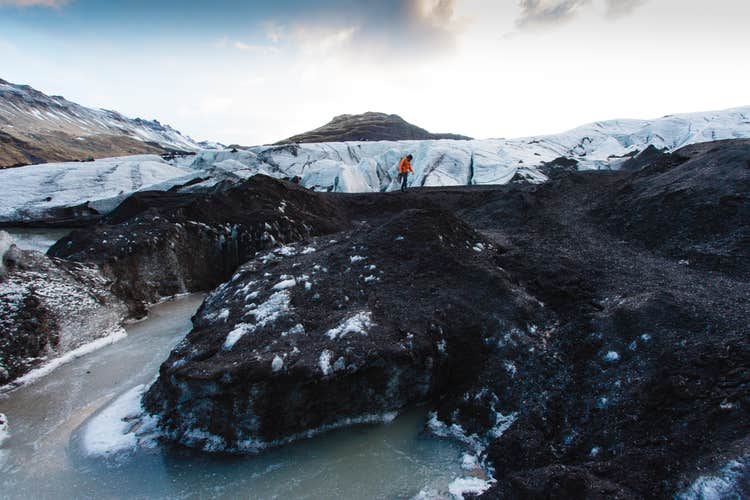
氷河の高みからは、周囲の素晴らしい眺望を楽しめます。晴れていれば2010年の大噴火でヨーロッパの航空便をストップさせた悪名高き氷河、エイヤフィヤトラヨークトル氷河(Eyjafjallajökull)も望めるでしょう。
手つかずの太古の自然が残るソゥルヘイマヨークトル氷河を探検する、またとない機会をお見逃しなく!日付を選択して空席状況をご確認ください。